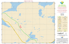
Cobb's Corridor Trail NL-029 Map
1103 miles away
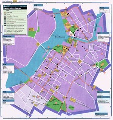
Limerick Tourist Map
Tourist map of central Limerick, Ireland. Shows tourist points of interest in city center...
1103 miles away
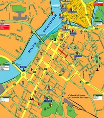
Central Limerick, Ireland Tourist Map
1103 miles away
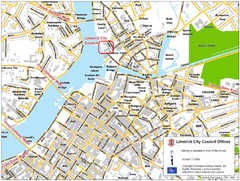
Limerick City Map
City map of Limerick, Ireland with City Council offices highlighted
1103 miles away
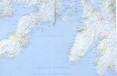
Newfoundland South-East Coast Map
1103 miles away
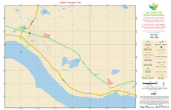
Cobb's Corridor Trail Map NL-028
1113 miles away
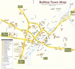
Ballina Town Map
1114 miles away
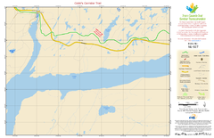
Cobb's Corridor Trail Map NL-027
1125 miles away
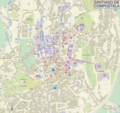
Santiago de Compostela Tourist Map
1126 miles away
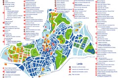
Santiago de Compostela Tourist Map
Tourist map of Santiago de Compostela, Spain. Shows many points of interest.
1126 miles away
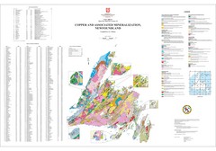
Copper and Associated Mineralization in...
1130 miles away
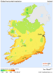
Solar Radiation Map of Ireland
Solar Radiation Map Based on high resolution Solar Radiation Database: SolarGIS. On the Solar Map...
1133 miles away
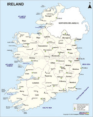
Ireland Political Map
1133 miles away
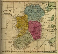
1808 Ireland Historical Map
1133 miles away
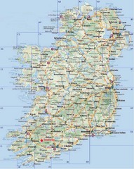
Ireland Tourist Map
1133 miles away
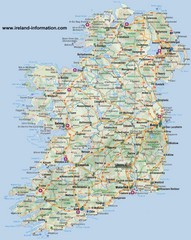
Ireland Travel Map
Map of Ireland detailing cities, major roads and airports.
1133 miles away
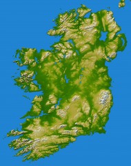
Ireland Topo Map
Shading and color-coding of topographic height.
1133 miles away
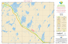
Cobb's Corridor Trail NL-026 Map
1135 miles away
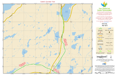
Cobb's Corridor Trail NL-025 Map
1137 miles away
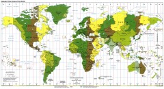
World Time Zone Map
Shows time zones of the world. From yeswatch.com: "The world is divided into 24 time zones...
1138 miles away
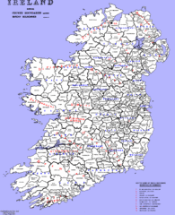
Ireland County/ Barony Map
Barony and County Map of Ireland
1140 miles away
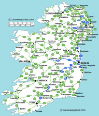
Road Map of Ireland
Road map of Ireland showing all motorways and major roads.
1143 miles away
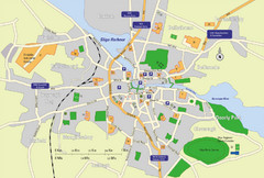
Sligo City Map
Map of Sligo with tourist information
1144 miles away
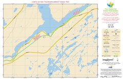
Cobb's Corridor Trail/Newfoundland Trailway...
1149 miles away
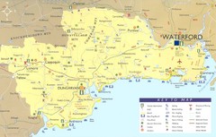
Waterford Tourist Map
This map and key allow you to find a high number of activities and points of interest in this fun...
1157 miles away
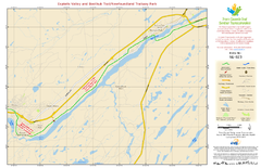
Exploits Valley and Beothuk Trail/Newfoundland...
1157 miles away

Owenea Fishery Map
Road Map of Owenea Fishery. Shows the location of the Owenea Fishery including all roads, towns...
1158 miles away
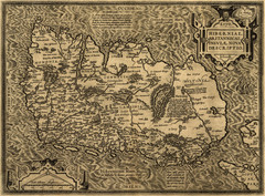
Ortelius’ Map of Ireland (1598)
Abraham Ortelius' map of Ireland in 1598.
1166 miles away
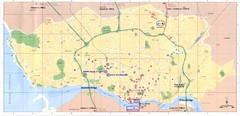
Porto Tourist Map
Map of Porto's main streets, train station, airport, landmarks and other areas
1167 miles away
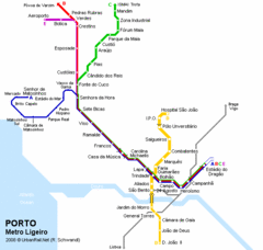
Porto Metro Ligeiro Map
Transit map of city's light rail system
1167 miles away
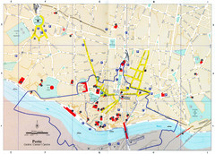
Porto Tourist Map
Tourist map of central Porto, Portugal. Shows points of interest. Dotted line shows the area...
1167 miles away
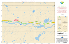
Exploits Valley and Beothuk Trail NL-022 Map
1171 miles away
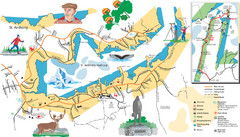
St. Anthony Tourist Map
Tourist map of town of St. Anthony, Newfoundland, Canada. Shows points of interest.
1176 miles away
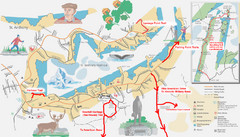
St. Anthony Canada City Map
Hiking trails drawn on the city map of St. Anthony. Map also shows motels, parks, shopping and...
1177 miles away
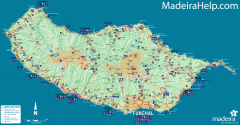
Madeira Island Map
Road map of Madeira Island, Portugal. Shows roads, trails, and rivers. Symbols for points of...
1180 miles away
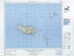
Madeira Country Map
1180 miles away
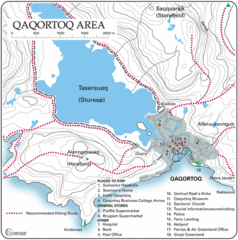
Qaqortoq City Map
Clear map and legend marking facilities, hotels, roads and more in this beautiful city.
1184 miles away
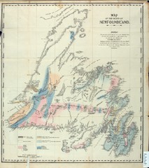
Newfoundland Geologic Map 1842
1186 miles away
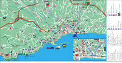
Funchal Tourist Map
Tourist map of Funchal, Madeira
1188 miles away

