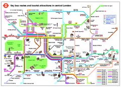
Central London Tourist and Bus map
Current Map showing all London Attractions and Bus transportation Route.
1447 miles away
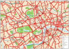
Central London Bus Map
1999 map from The London Tube Map Archive
1447 miles away
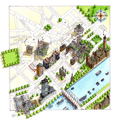
London Westminster Map
Aerial Map of Westminster london, showing the Houses of Parliament
1447 miles away
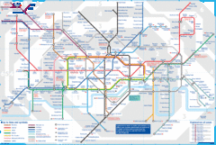
London Underground Tube Map
Map of London's underground Tube
1447 miles away

Cabourg Map
1447 miles away
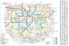
London Underground Map
1447 miles away
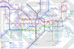
London Underground Map
London Underground map with all zones
1447 miles away
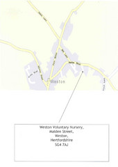
Weston, Hertfordshire Map
In the UK
1447 miles away
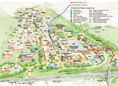
University of Sussex Campus Map
1447 miles away
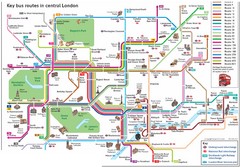
London Central Bus Routes Map
Guide to bus routes in London
1447 miles away
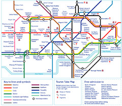
London Tourist Tube Map
London Tube Map with lots of station names replaced with tourist attractions. Key: Union Jack...
1447 miles away
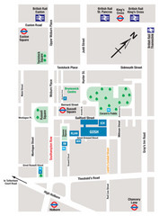
Great Ormond Street Hospital for Children Map
Great Ormond Street Hospital for Children NHS Trust (GOSH)
1447 miles away
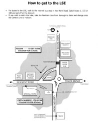
London School of Economics Bus Stop Map
How to get to the London School of Economics.
1447 miles away
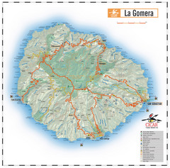
La Gomera Island Map
Map of the island of Gomera in the Canary Islands
1447 miles away
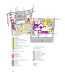
King's College in London Campus Map
King's College located in London
1447 miles away
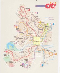
Peterborough Stage Coach Citi Bus Map
1447 miles away
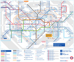
London Tube Map
1447 miles away
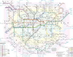
London Tube Map
1447 miles away
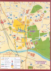
Peterborough City Center Map
City map of central Peterborough, England
1447 miles away
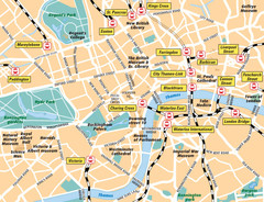
London Bahnhöfe Map
1447 miles away
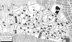
London Church Map
Map of the City of London showing 47 churches and 9 Towers
1448 miles away
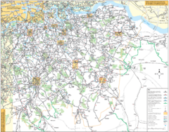
Southeast London Bus Map
1448 miles away
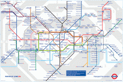
London Underground Map
Official map of the London Underground. An evolution of the original design conceived in 1931 by...
1448 miles away
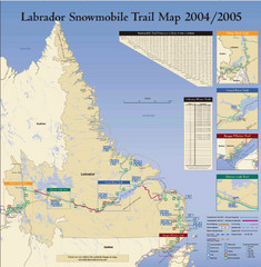
Labrador Snowmobiling Trail Map
Trail map of Labrador, Canada with inset maps of specific trail areas.
1448 miles away
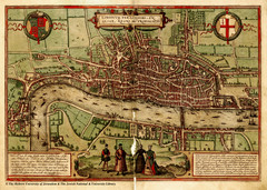
1560 London Map
Historic map of London showing city walls and farms
1448 miles away
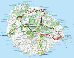
La Gomera Island Map
Tourist map of La Gomera showing beaches, roads, towns, elevations, ports and airports.
1448 miles away
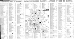
Biarittz - back (index) Map
1448 miles away
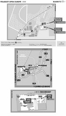
Biarritz Airport Map
1448 miles away
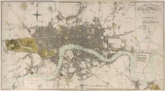
London Map 1807
1807 "London in miniature" map. Scanned.
1448 miles away
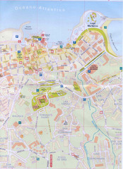
Puerto de la Cruz Tourist Map
1449 miles away
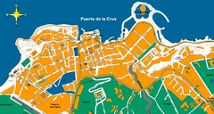
Puerto de la Cruz Tenerife Map
Street level map of Puerto de la Cruz, Tenerife showing a few tourist sites.
1449 miles away
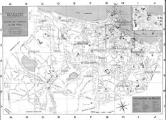
Biarittz - front (overview) Map
1449 miles away
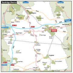
Tandridge District, England Region Map
1450 miles away
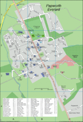
Papworth Everard Tourist Map
1450 miles away
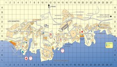
Los Gigantes Tourist Map
Tourist map of Los Gigantes, Tenerife. Shows properties for rent and points of interest.
1451 miles away
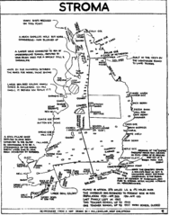
Stroma Tourist Map
1451 miles away
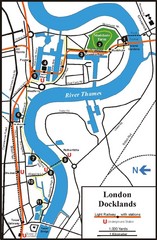
London Docklands Tourist Map
1451 miles away
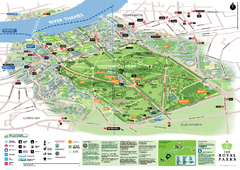
Greenwich Park Map
1452 miles away
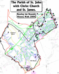
The Parish of St. John's with Christ Church...
A rough history of the Stratford, England and a continuation of the age old tradition of "...
1452 miles away

