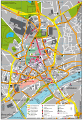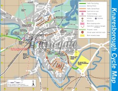
Knaresborough Cycling Map
Shows traffic free cycling routes, advisory routes, traffic calmed roads, cycle lanes, bike shops...
1412 miles away
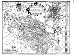
1610 Yorkshire County Historical Map
A 1610 map of Yorkshire Country in the United Kingdom
1412 miles away
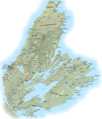
Cape Breton Island Trail Map
Trail map of Cape Breton Island
1413 miles away
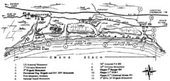
Omaha Beach Map
1413 miles away
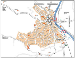
Henley-on-thames Map
Visitor Map of Henley-on-thames. Map shows location of most main roads, buildings, and parking.
1413 miles away
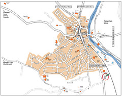
Henley-on-Thames Map
1413 miles away
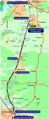
Nottingham Transport Map
A map showing train stations in Loughborough to Nottingham. Includes surrounding roads, towns...
1413 miles away
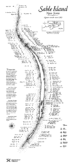
Sable Island Wreck Map
Shipwreck map of Sable Island, Nova Scotia. Known wrecks since 1583
1414 miles away
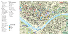
Seville City Monuments Map
Tourist map of city monuments in Seville, Spain. Shows 8 walking route itineraries.
1414 miles away
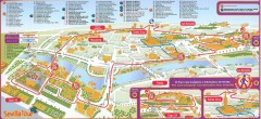
Seville Tourist Map
Tourist map of Seville, Spain. Shows 99 points of interest.
1414 miles away
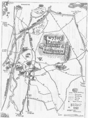
Twyford Parish Map
Footpaths and bridleways map of Twyford Parish
1415 miles away
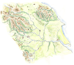
Yorkshire topography Map
1415 miles away
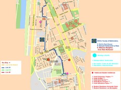
Central Seville Tourist Map
1416 miles away
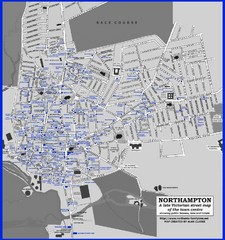
Northampton Town Map
Map of Northampton from the late Victorian period with public houses, inns, hotels, and pubs all...
1418 miles away
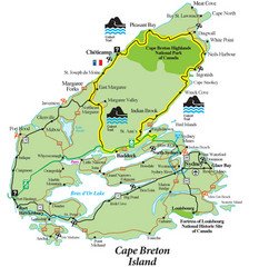
Cabot Trail Map
Map of famous Cabot Trail driving tour of Cape Breton Island, Nova Scotia. Part of the Cabot Trail...
1418 miles away
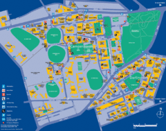
Camperdown Tourist Map
Guide map for Camperdown and Darlington, United Kingdom
1418 miles away
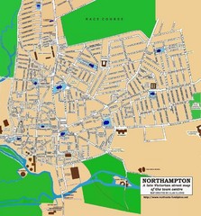
Northampton Town Map
Street map of Northampton from the late Victorian period
1418 miles away

Port-en-Bessin Huppain Map
1418 miles away
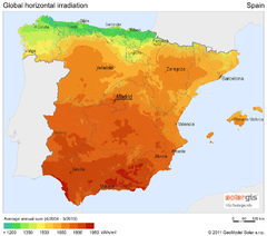
Solar Radiation Map of Spain
Solar Radiation Map Based on high resolution Solar Radiation Database: SolarGIS. On the Solar Map...
1418 miles away
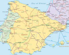
Spain Road Map
Map of Spain including some of Portugal and France showing cities and major roads.
1418 miles away
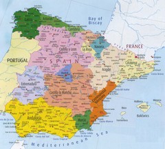
Spain Map
1418 miles away
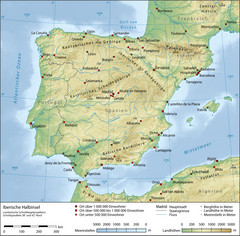
Iberian Peninsula Physical Map
Physical relief map of the Iberian Peninsula. Shows color-coded elevation in meters
1418 miles away
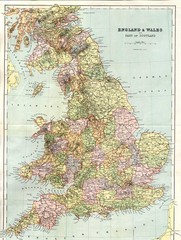
England and Wales Map
Guide to England, Wales and part of Scotland, showing counties
1418 miles away
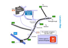
Central Northampton, England Tourist Map
Central Northampton in England
1418 miles away
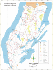
Cape Breton Highlands Snowmobile Trail Map
Trail distances in km
1419 miles away
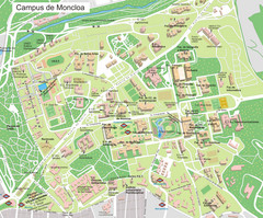
Campus de Moncloa of Complutense University Map
1419 miles away
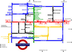
Doncaster Pup Guide Map
1419 miles away
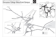
Doncaster College Waterfront Campus Map
B&W Printable version of the Doncaster College Waterfront Campus showing parking and vehicular...
1419 miles away
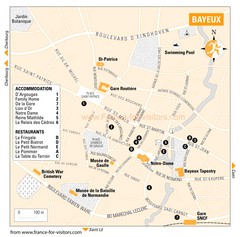
Bayeux Tourist Map
Tourist map of Bayeux, France shows accommodations and restauraunts
1420 miles away
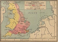
600 British Settlement Map
Map of settlements of Angels, Saxons, Jutes and Native Britons in 600
1420 miles away

Bayeux Map
1420 miles away
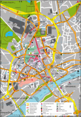
Newcastle Upon Tyne City Map
City map of Newcastle Upon Tyne with tourist information and some of Gateshead
1420 miles away
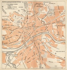
Newcastle upon Tyne Map
1920 Michelin Map to Newcastle upon Tyne, UK
1420 miles away
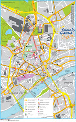
Newcastle Tourist Map
Tourist map of central Newcastle Upon Tyne, UK. Shows points of interest.
1420 miles away
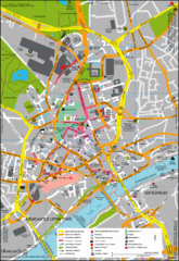
Newcastle City Map
City center map of Newcastle Upon Tyne, UK
1420 miles away
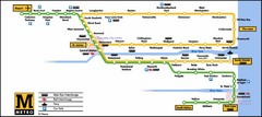
Newcastle Metro System Map
1420 miles away
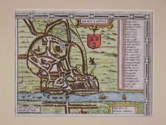
1611 Newcastle-Upon-Tyne Historic Map
Guide to historic Newcastle upon Tyne
1420 miles away
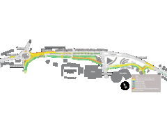
Bawtry Road Bus Lane Map
1420 miles away
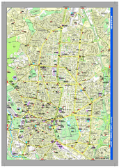
Madrid Tourist Map
High quality tourist map of central Madrid. Shows all points of interest.
1421 miles away

