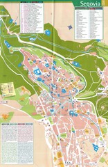
Segovia Spain Tourist Map
Tourist map of Segovia, Spain. Shows hotels, buildings of historical interest and monuments.
1387 miles away
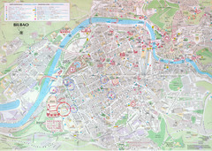
Bilbao Tourist Map
Tourist map of central Bilbao, Spain. Shows major buildings and other points of interest.
1387 miles away
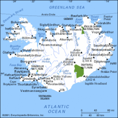
Iceland Hiking Map
1388 miles away
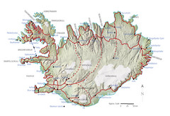
Iceland Tourist Map
1388 miles away
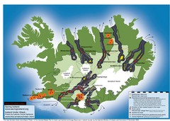
Iceland Dam and Geothermal Impact Map
Shows environmental impact of proposed dams, reservoirs, and geothermal plants in Iceland
1388 miles away
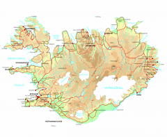
Iceland Physical Relief map
Physical map of Iceland with color-shaded relief.
1388 miles away
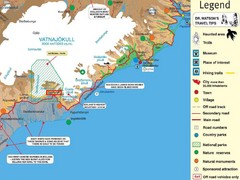
Vatnajökull National Park Map
Home of Iceland's highest mountain 2119m
1388 miles away
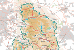
Peak District National Park Map
National Park map.
1389 miles away
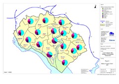
Methods of Travel in Southampton, UK Map
The methods of travel used by workers in Southampton
1389 miles away

Southampton Public Transport Map
Public transport map of Southampton, England
1389 miles away
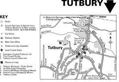
Tutbury Town Centre Map
1390 miles away

Areas Surrounding Bakewell, UK Map
Cities and areas around Bakewell, United Kingdom
1391 miles away
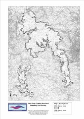
Bird Survey Map
Map of survey areas in the Peak District Moorland. Shows survey areas of 1990 and 2004.
1391 miles away
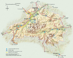
Cairngorms National Park Map
This map shows the boundaries of the Cairngorms National Park, which stretch from Grantown on Spey...
1391 miles away
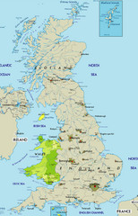
Wales Map
Guide to Wales and major cities in the United Kingdom
1391 miles away
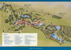
Weston Park Estate Map
1392 miles away
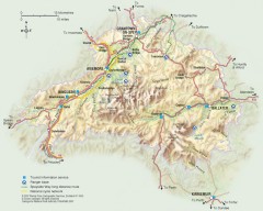
Cairngorms National Park Map
Official map of Cairngorms National Park, Britain's largest National Park at 3800 sq km. 4 of...
1392 miles away
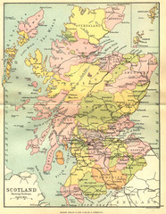
Scotland Counties Map
Map of Scotland and its counties
1392 miles away
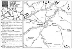
Huddersfield New College Location Map
1392 miles away
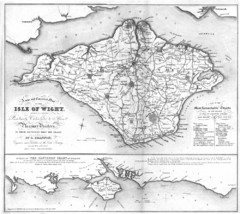
Isle of Wight Map
1392 miles away
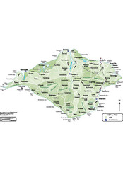
Isle of Wight Map
1392 miles away
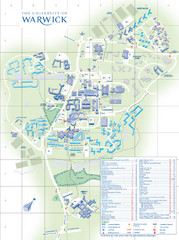
University of Warwick Campus Map
Near Coventry, West Midlands
1393 miles away
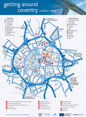
Coventry Tourist Map
Tourist map of central Coventry, England. Shows points of interest.
1393 miles away
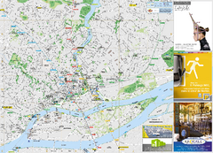
Nantes Tourist Map
City tourist map of Nantes, France
1393 miles away
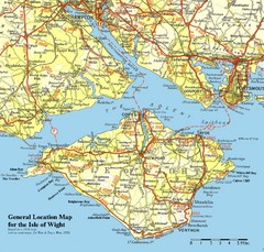
Isle of Wight Map
Based on 1950's map with no motorways
1393 miles away
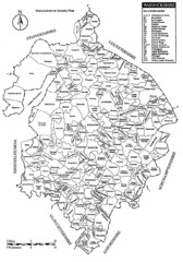
Warwichshire, England Region Map
1394 miles away

La Palma Island Map
1394 miles away
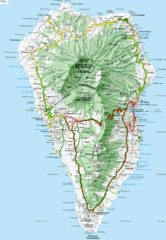
La Palma Physical Map
Physical map of island of La Palma. Shaded relief.
1394 miles away
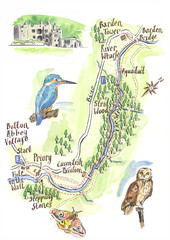
A walk around Bolton Abbey Yorkshire Map
A walk around Bolton Abbey in Yorkshire, Uk. Produced for Dales Life Magazine.
1394 miles away
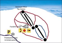
Swinhope Moor Sketch Ski Trail Map
Trail map from Swinhope Moor.
1395 miles away
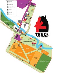
Steventon, South Oxfordshire Tourist Map
1396 miles away
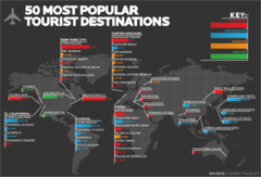
50 Most Popular Tourist Destinations Map
Shows the 50 most popular tourist destinations in the world. Each destination shows number of...
1396 miles away
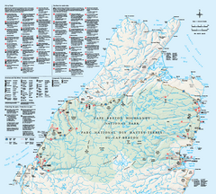
Cape Breton Highlands National Park Map
Official Parks Canada map of Cape Breton Highlands National Park, Nova Scotia. Shows hiking trails...
1396 miles away
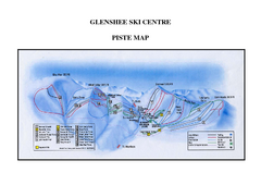
Glenshee Ski Centre Ski Trail Map
Trail map from Glenshee Ski Centre.
1396 miles away
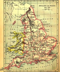
1660-1892 England and Wales Map
Guide to England and Wales from 1660-1892, showing topographic information
1397 miles away
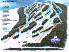
Cape Smokey Ski Lodge Ski Trail Map
Trail map from Cape Smokey Ski Lodge, which provides downhill skiing. This ski area has its own...
1398 miles away
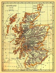
1641-1892 Scotland Map
Guide to Scotland and its counties, from 1641-1892
1398 miles away
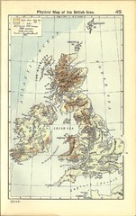
1911 British Isles Physical Map
Guide to physical features of the United Kingdom, then known as the British Isles
1399 miles away
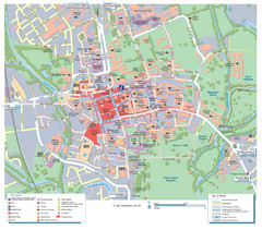
Oxford City Map
Tourist street map of Oxford
1399 miles away
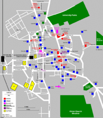
Oxford City Map
Oxford University and surrounding city
1399 miles away

