
Caribbean Islands Map
Includes general maps of Caribbean, St. Vincent, St. Lucia, Guadeloupe, Cuba, Southern Florida...
511 miles away
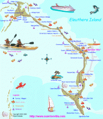
Eleuthera Tourist Map
Tourist map of Eleuthera Island of the Bahamas.
513 miles away
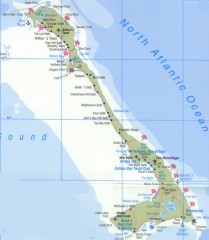
Tourist map of Cat Island
Tourist map of Cat Island in the Bahamas
514 miles away
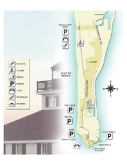
Gasparilla Island State Park Map
Map of park with detail of trails and recreation zones
514 miles away
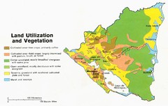
Nicaragua - Land Utilization and Vegetation, 1979...
515 miles away
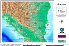
Nicaragua USGS/CINDI 1998 Map
515 miles away
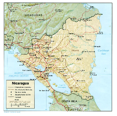
Nicaragua (Shaded Relief) 1985 Map
515 miles away
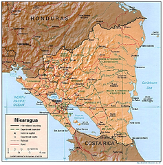
Nicaragua (Shaded Relief) 1997 Map
515 miles away
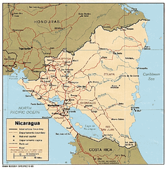
Nicaragua (Political) 1985 Map
515 miles away
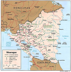
Nicaragua (Political) 1997 Map
515 miles away
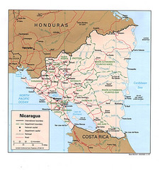
Nicaragua Tourist Map
515 miles away
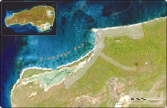
Rum Cay real estate map
Real estate sales map for a major development on Rum Cay, the Bahamas.
516 miles away
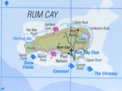
Tourist map of Rum Cay
Tourist map of Rum Cay in the Bahamas.
516 miles away
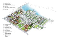
Palm Beach Atlantic University Map
Campus map
516 miles away
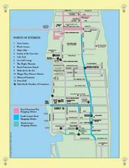
Palm Beach Tourist Map
516 miles away
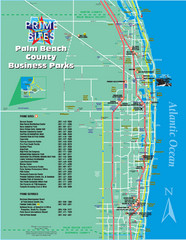
Palm Beach Tourist Map
516 miles away
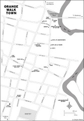
Orange Walk Town Map
View This Map
517 miles away
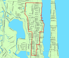
West Palm Beach, Florida City Map
517 miles away
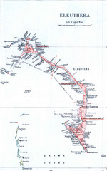
Eleuthera Island Map
520 miles away
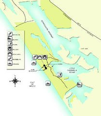
Don Pedro Island State Park Map
Map of park with detail of trails and recreation zones
522 miles away
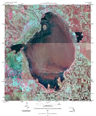
Elevation contour maps of Lake Okeechobee Map
Elevation contour maps of Lake Okeechobee
525 miles away
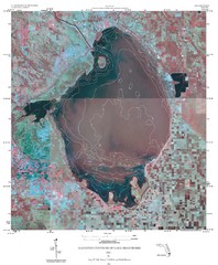
Elevation Contours of Lake Okeechobee Map
Elevation contour maps of Lake Okeechobee
525 miles away
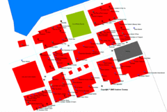
Port Lucaya Marketplace, Grand Bahama Island...
527 miles away

Baseball Spring Training in Souther Florida Map
Guide 2009 Baseball Spring Training in Florida
527 miles away
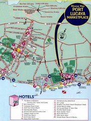
Freeport tourist map
Tourist map of Freeport on Grand Bahama Island in the Bahamas.
527 miles away
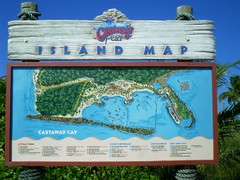
Castaway Cay Island Tourist Map
Tourist map of Disney's private Castaway Cay Island in the Bahamas. From photo of sign.
527 miles away
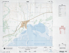
Aquin, Haiti Tourist Map
529 miles away
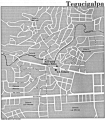
Tegucigalpa Honduras Map
530 miles away
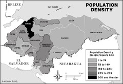
Honduras population density Map
530 miles away
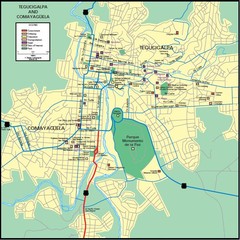
Tegucigalpa Map
530 miles away
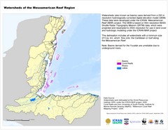
Watersheds of the Mesoamerican Reef Region Map
Map of watersheds or basins on map without elevation data
531 miles away
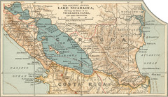
Early map of Nicaragua Canal
This was the original route for a canal across Central America
535 miles away
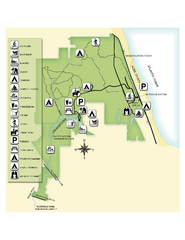
Jonathan Dickinson State Park Map
Map of park with detail of trails and recreation zones
536 miles away
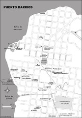
Puerto Barrios city Map
537 miles away
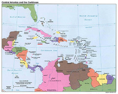
Central American and Caribbean Islands Map
Map shows countries, capital cities and major cities of Central America, Caribbean and the northern...
540 miles away

Haiti and Jamaica Map
Detailed Map of Hispaniola and Jamaica. Colored in outline. Shows Jamaica Railway
540 miles away
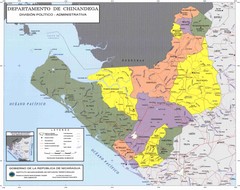
Political divisions of northeastern Nicaragua Map
543 miles away
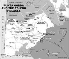
Punta Gorda and the Toledo villages Map
544 miles away
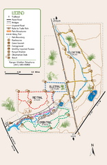
Oscar Scherer State Park Trail Map
Map of park with detail of hiking trails throughout
546 miles away
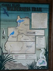
Myakka Island Trail Map
Trail map of Myakka Island. From photo.
549 miles away

