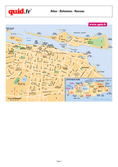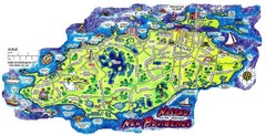
Nassau New Providence Island Map
Tourist map of New Providence Island, Bahamas
469 miles away
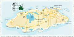
Nassau Island Map
469 miles away
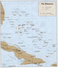
Bahamas Tourist Country Map
469 miles away
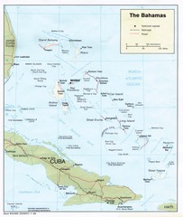
The Bahamas Tourist Map
469 miles away
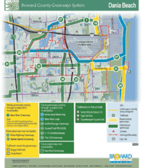
Dania Beach Tourist Map
471 miles away
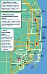
Fort Lauderdale Map
Fort Lauderdale and surrounding area map, including Airports and airport details.
471 miles away
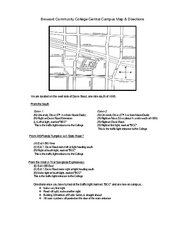
Broward Community College Campus Map
Broward Community College Campus Map. Central Campus Location. Shows all areas and transportation.
472 miles away
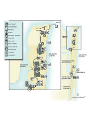
John U. Lloyd Beach State Park Map
Map of park with detail of trails and recreation zones
473 miles away
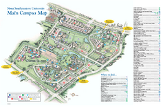
Nova Southeastern University Map
Nova Southeastern University Campus Map. All area's shown.
475 miles away

Ft. Lauderdale, Florida City Map
477 miles away
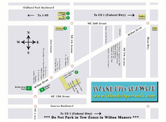
Island City Art Walk Map
478 miles away
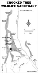
Crooked Tree Wildlife Sanctuary Map
481 miles away
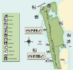
Delnor-Wiggings Pass State Park Map
Map of park with detail of trails and recreation zones
481 miles away
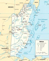
Belize Map
Detailed map of Belize showing cities, roads, railroads and boundaries.
483 miles away
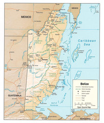
Belize Guide Map
483 miles away
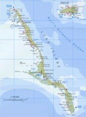
Tourist map of Long Island in the Bahamas
Tourist map of Long Island and Rum Cay in the Bahamas.
489 miles away
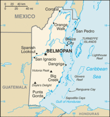
Belize Peaks and Rivers Map
490 miles away
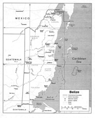
Belize (Political) U.S. Department of State 1990...
490 miles away
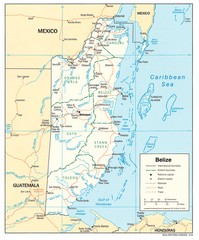
Belize Tourist Map
490 miles away
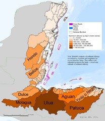
Annual Sediment Delivery from MAR Watersheds Map
This map shows which basins (or watersheds) deliver the most sediment on an annual basis to the...
490 miles away
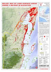
Belize Land Surface Areas Under 4 Meters Map
This map shows elevation areas in Belize under 4 meters in Red. This was the limit for the storm...
490 miles away
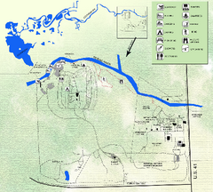
Koreshan State Historic Site Map
Map of park with detail of trails and recreation zones
491 miles away
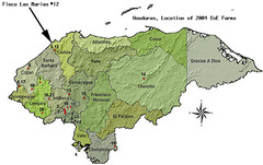
Coffee Plantations of Honduras Map
491 miles away
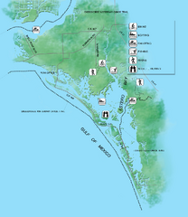
Estero Bay Preserve State Park Map
Map of park with detail of trails and recreation zones
491 miles away
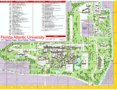
Florida Atlantic University - Boca Raton Campus...
Florida Atlantic University Campus Map. All buildings shown.
492 miles away
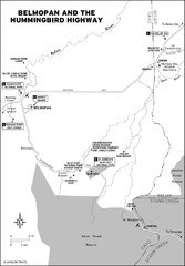
Belmopan and the Hummingbird highway Map
493 miles away
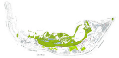
Sanibel Island and Captiva Island Map
494 miles away
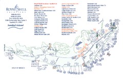
Sanibel Island Tourist Map
Tourist map of Sanibel Island, Florida
494 miles away
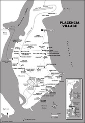
Placencia village Map
498 miles away
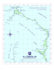
Eleuthera Island Map
503 miles away
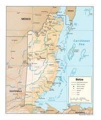
Belize Map
Map of Belize showing cities, rivers and district boundaries.
503 miles away
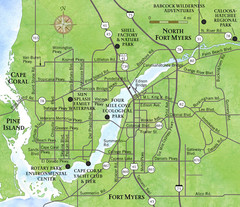
Cap Coral and Surrounding Area Map
Small, humble fishing community along the coast of Florida.
505 miles away
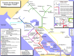
Nicaragua Transit system Map
505 miles away
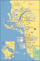
Fort Meyers tourist map
Tourist map of Fort Meyers, Florida. Shows businesses and points of interest.
506 miles away
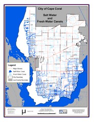
Cape Coral, Florida City Map
507 miles away
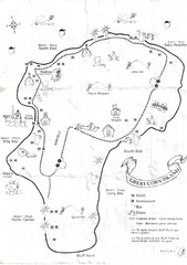
Big Corn Island Tourist Map
508 miles away
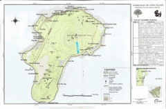
Corn Island Topo Map
509 miles away
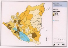
Nicaragua population density Map
510 miles away
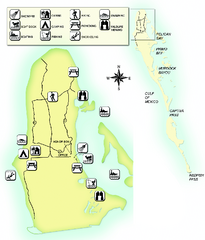
Cayo Costa State Park Map
Map of park with detail of trails and recreation zones
510 miles away

