
"Santiago De Cuba - GuantAnamo" Road Map
381 miles away

"Holguin - Moa" Road Map
382 miles away
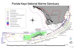
Florida Keys National Marine Sanctuary Map
Map of Florida Keys National Marine Sanctuary
385 miles away
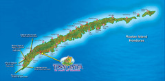
Roatan Island Tourist Map
387 miles away
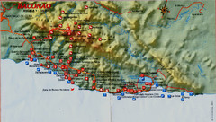
Baconao Map
388 miles away

Florida Keys Map
Map of the Florida Keys includes all islands, dive sites, boat launches and important places.
388 miles away
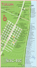
Tulum Hotel Map
398 miles away
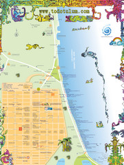
Tulum Tourist Map
Tourist map showing town and Mayan ruins of Tulum, Mexico on the Caribbean. Shows hotels...
399 miles away
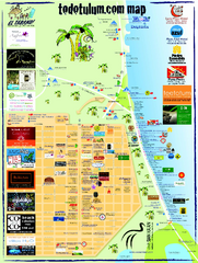
Tulum Tourist Map 2009
Tourist map showing town and Mayan ruins of Tulum, Mexico on the Caribbean. Shows hotels...
400 miles away

Guantanamo Map
406 miles away
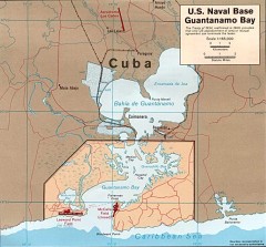
US Naval Base at Guantanamo Bay Map
Map of the area in Cuba that the US Navy leases, includes an airstrip and the Guantanamo Bay...
409 miles away

Cayos Cochios Islad Map
409 miles away

Honduras North coast Map
418 miles away
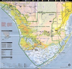
Everglades National Park Map
424 miles away
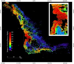
Mangrove Biomass Map
Map of Mangrove Forest Biomass was produced using the elevation data from the Shuttle Radar...
424 miles away
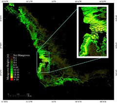
Mangrove Height Map
Map of Mangrove Forest Height was produced using the elevation data from the Shuttle Radar...
424 miles away
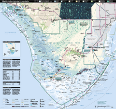
Everglades National Park Map
Official NPS map of Everglades National Park
425 miles away
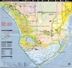
Everglades National Park Map
425 miles away
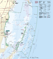
Biscayne National Park Official Map
Official NPS map of Biscayne National Park in Florida. Convoy Point, location of the parks...
425 miles away
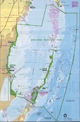
Biscayne National Park Map
427 miles away
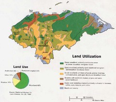
Honduras Land Use and Land Utilization, 1983 Map
430 miles away
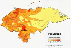
Honduras Population Map, 1974 Census Map
430 miles away
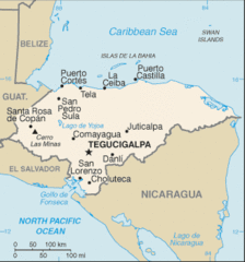
Honduras Map
430 miles away
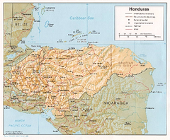
Honduras Relief Map, 1985 Map
430 miles away
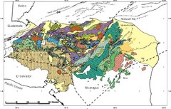
Honduras Geology Map
430 miles away
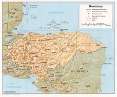
Honduras Tourist Map
430 miles away
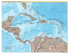
Central America Map
430 miles away
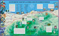
La Ceiba Ecotourism Map
Ecotourism map of La Ceiba, Honduras and its surroundings.
430 miles away
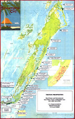
Ambergris Caye Tourist Map
Tourist map of island of Ambergris Caye, Belize. Inset shows town of San Pedro.
436 miles away
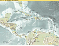
Overview map of Central America and the Caribbean
Shows the entire Caribbean region with names of islands/countries and major towns/cities.
439 miles away
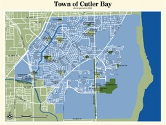
Cutler Bay Map
440 miles away
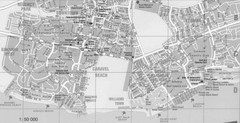
Bahamas Guide Map
441 miles away
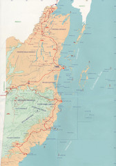
Belize Map
441 miles away

San Pedro Tourist Map
Tourist map of town of San Pedro on island of Ambergris Caye, Belize
441 miles away
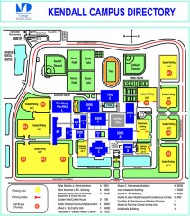
Miami Dade College - Kendall campus Map
Map of the Miami Dade College - Kendall campus, one of 8 campuses of Miami Dade College. From...
443 miles away

"San Antonio Del Sur - Baracoa" Road Map
444 miles away
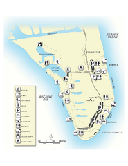
Bill Baggs State Recreation Area Map
Map of park with detail of various recreation zones
445 miles away

Turneffe Islands atoll Map
445 miles away
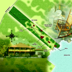
The Barnacle Historic State Park Map
Map of park
447 miles away
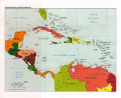
Caribbean Political Map
Political map of the Caribbean region. Scanned.
448 miles away

