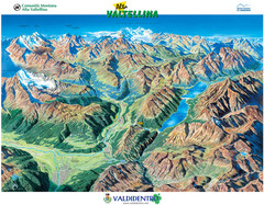
Valdidentro Alta Valtellina Summer Map
Panorama tourist map of the region of Valdidentro Alta Valtellina from Bormio, Italy to Livigno...
215 miles away
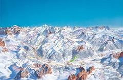
Canazei Campitello Ski Trail Map
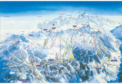
Ski trail map of Canazei-Campitello area in the Italian Dolomites.
215 miles away
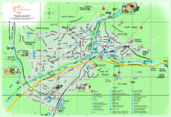
Bolzano Map
215 miles away
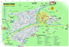
Bolzano Tourist Map
Tourist map of Bolzano, Italy.
215 miles away
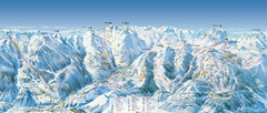
Val d’Allos—La Foux Ski Trail Map
Trail map from Val d’Allos—La Foux.
215 miles away
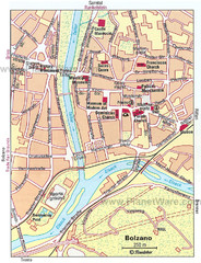
Bolzano centro Map
215 miles away
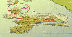
Rab Island Map
Shows beaches on Rab Island, Croatia
215 miles away
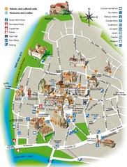
Bolzano tourist map
216 miles away
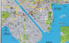
Ascona City Tourist Map
Landmarks in Ascona, Switzerland
216 miles away

Sulden Ski Trail Map
Ski trail map of Sulden (Solda), Italy in the Ortler Alps. Shows trails and lifts.
217 miles away
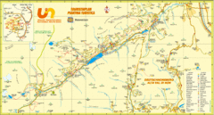
Ultental Deutschnonsberg St. Walburg Tourist Map
Tourist map of the southern Tyrol region around Ultental, Deutschnonsberg, and St. Walburg/ S...
217 miles away
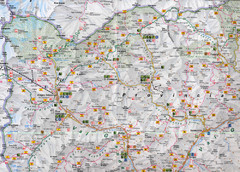
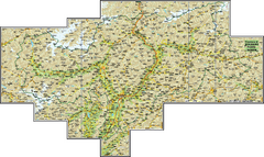
Northern Italy Map
Map of very north of Italy. Shows all towns, roads, recreational activities and gas stations.
217 miles away
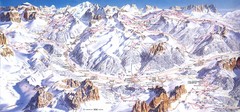
Campitello di Fassa Ski Map
217 miles away

Sulden Trafoi Summer Hiking Map
Summer hiking route map of Sulden (Solda) Italy, Trafoi, Italy and Stelvio, Italy. Shows hiking...
218 miles away
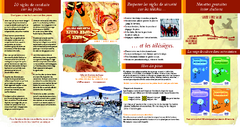
Super Sauze Ski Trail Map
Trail map from Super Sauze.
218 miles away
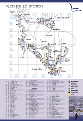
Super Sauze Ski Trail Map
Trail map from Super Sauze.
218 miles away
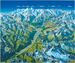
Engadin St. Moritz Region Summer Map
Summer panoramic tourist map of Engadin region of Switzerland. Includes St. Moritz, Piz Bernina...
219 miles away
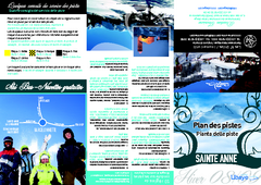
Sainte-Anne la Condamine Ski Trail Map
Trail map from Sainte-Anne la Condamine.
219 miles away

St. Moritz Tourist Map
Tourist map of St. Moritz, Switzerland. Shows summer and winter points of interest.
220 miles away
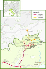
Northern Italy Bustransfer Map
220 miles away
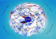
Sella Ronda Ski Tour Map
Shows ski mountaineering tour of Sella Ronda, a circular ski route leading around the mighty Sella...
221 miles away
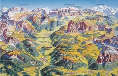
Val Gardena Summer Trail Map
Summer panoramic trail map of the Val Gardena, Italy area in the heart of the Dolomite Mountains...
221 miles away
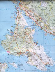
Krk Tourist Map
Tourist map of island of Krk, Croatia. Second biggest island in Croatia
221 miles away
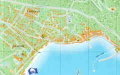
Baska Krk Tourist Map
Tourist map of Baska Krk, Croatia. Scanned.
221 miles away
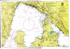
Rijeka hajózási Map
221 miles away
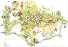
Tramonti di Sopra Tourist Map
Tourist map of town and surrounding area of Tramonti di Sopra, Italy. Drawing shows streets...
222 miles away
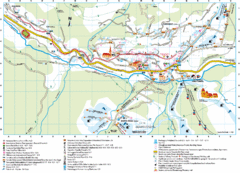
Santa Cristina Tourist Map
Tourist map of town of Santa Cristina Val Gardena, Italy. Santa Cristina lies on the sunny side of...
222 miles away
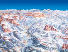
Val Gardena Ski Trail Map
Trail map from Val Gardena.
222 miles away
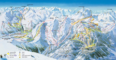
Pra Loup Ski Trail Map
Trail map from Pra Loup.
222 miles away
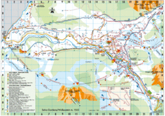
Selva Gardena Tourist Map
Tourist map of Selva Gardena, Italy, a popular skiing and hiking destination in the Italian Alps.
223 miles away
World Map
223 miles away
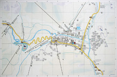
Corvara Town Map
Tourist map of Corvara, Italy in the Dolomites. From photo of sign
223 miles away
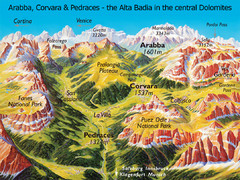
Arabba Corvara Pedraces Summer Map
Summer map of Alta Badia region in Italian Dolomites
223 miles away
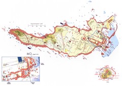
Ventotene Tourist Map
Tourist map of island of Ventotene, Italy. Also shows Santo Stefano island. Shows points of...
223 miles away
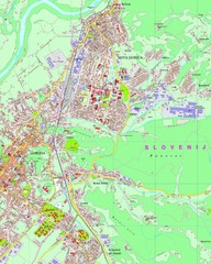
Map of Nova Gorica, Slovenia
224 miles away
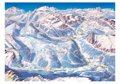
Alta Badia Alta Badia Ski Trail Map
Trail map from Alta Badia, which provides downhill skiing. This ski area has its own website.
224 miles away
Cala Gonone Tourist Map
Tourist map of Cala Gonone, Sardinia and Dorgali, Sardinia. Shows points of interest. Scanned...
225 miles away

