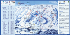
Aprica Ski Trail Map
Trail map from Aprica, which provides downhill skiing. This ski area has its own website.
193 miles away
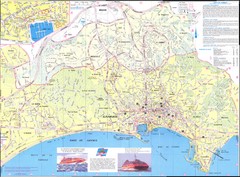
Cannes Map
194 miles away
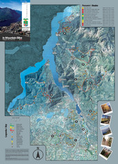
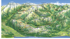
Lake Como Mountain Biking Trail Map
Trail map of mountain biking routes around Lake Como, Italy.
194 miles away
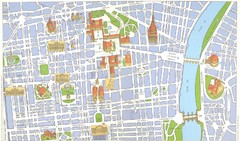
Torino centro Map
195 miles away
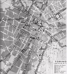
Turin Italy Map
Map of the city of Torino (Turin) from 1913 showing streets, parks and government buildings.
195 miles away
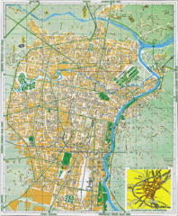
Torino Street Map
Street map of central Torino (Turin), Italy.
195 miles away
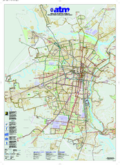
Torino Public Transit Map
Public transportation map of Torino (Turin), Italy
195 miles away
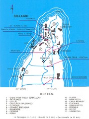
Bellagio Map
195 miles away
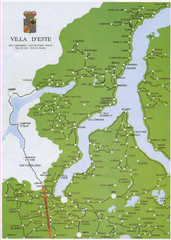
Lake Como Map
Map of lake with detail of surrounding towns
196 miles away
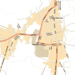
Gattinara Map
197 miles away
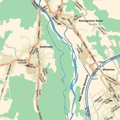
Gattinara Map
197 miles away
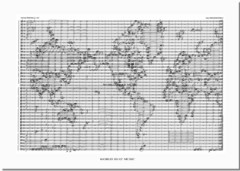
World Music Map
A world map made out of musical notation.
197 miles away
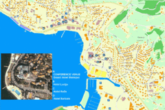
Portorož Lodging Map
198 miles away
Northern Italy Tourist Map
Pordenone, Coltura, Polcenigo, Italy
199 miles away
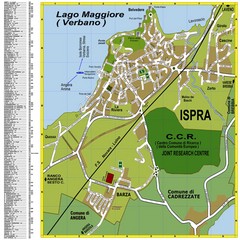
Ispra Town Map
Town map of Ispra, Italy on east side of Lake Maggiore (Lombardy region, Northern Italy). With...
200 miles away
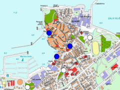
Izola Slovenia Parking map
Parking places in Izola (blue sign - payable parking, white sign - free parking).
202 miles away
Cres & Losinj Island Map
Tourist map of island of Cres and island of Losinj, Croatia.
202 miles away

Cres Island Map
Road map of island of Cres, Croatia. Biggest island in Croatia.
202 miles away
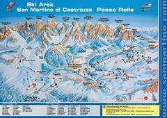
San Martino di Cartozza Ski Trail Map
Ski trail map of San Martino di Cartozza, Italy
204 miles away
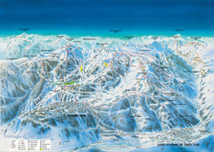
Auron Saint-Etienne-de-Tinée Ski Trail Map
Trail map from Auron Saint-Etienne-de-Tinée.
204 miles away
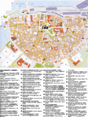
Koper Tourist Map
Tourist map of Koper, Slovenia. Shows 55 tourist sights.
205 miles away
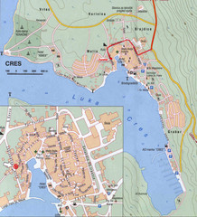
Cres City Map
City map of Cres, Island of Cres, Croatia.
206 miles away
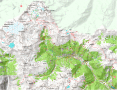
Val di Rabbi Topo Map
Detailed topographic map of Val di Rabbi, Italy on the edge of Stelvio National Park
206 miles away
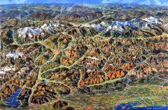
Eastern Alps Italy and Austria Overview Map
Panoramic map of the mountains and towns of northern Italy, the Tyrol, and southern Austria
206 miles away
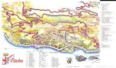
Stresa Map
206 miles away
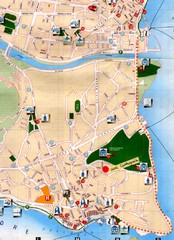
Verbania Pallatzo City Map
City map of Verbania-Pallanza, Italy on Lago Maggiore
208 miles away
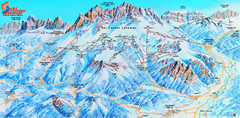
Latemar (Val di Fiemme, Obereggen) Ski Center...
Trail map from Latemar (Val di Fiemme, Obereggen), which provides downhill and nordic skiing. This...
209 miles away
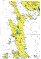
Cres hajózási Map
209 miles away
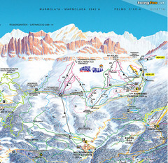
Welschnofen—Karersee (Carezza) Ski Trail Map
Trail map from Welschnofen—Karersee (Carezza), which provides downhill and nordic skiing. This...
211 miles away
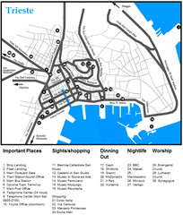
Trieste Map
212 miles away
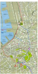
Trieste City Map
City map of Trieste with projects plans.
212 miles away
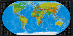
Worldwide Telephone Prefix Numbers Map
Telephone dialing prefixes on a world map
212 miles away
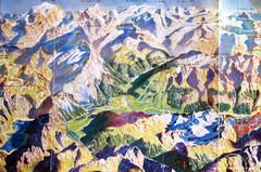
Bormio Panorama Map
Panorama tourist map of Bormio, Italy. Shows Ortler Alps in distance. From photo.
212 miles away
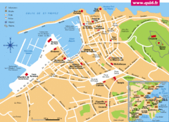
St. Tropez Tourist Map
Tourist map of Saint Tropez, France. Shows points of interest. Inset shows surrounding area.
212 miles away
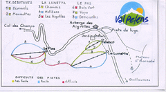
Val Pelens Ski Trail Map
Trail map from Val Pelens.
213 miles away
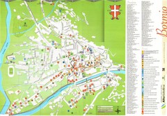
Bormio Tourist Map
Tourist map of town of Bormio, Italy. Legend of all streets and services.
213 miles away
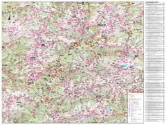
Val di Fassa Hiking Map
Hiking trail map of the Val di Fassa, Italy region. Highly detailed.
214 miles away

