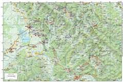
Bike Route starting in Ivanić-Grad Map
Bike route and trails through the cradle of Croatia’s oil drilling industry and the wondrous...
299 miles away
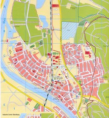
Erlenbach Map
Street map of town of Erlenbach
299 miles away
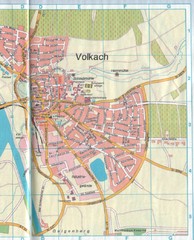
Volkach Map
Street map of town of Volkach
299 miles away
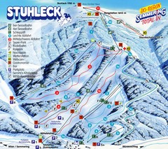
Stuhleck – Spital am Semmering Ski Trail Map
Trail map from Stuhleck – Spital am Semmering, which provides downhill skiing. This ski area...
300 miles away
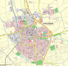
Gerolzhofen Map
Detailed street map of Gerolzhofen
302 miles away

Sulmona vicinity Map
303 miles away
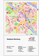
Bamberg Tourist Map
Tourist map of downtown Bamberg
303 miles away
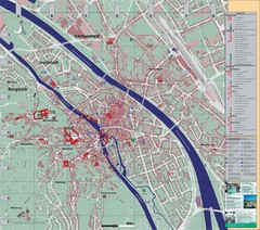
Bamberg City Map
City map of Bamberg, Germany
303 miles away
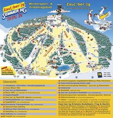
Semmering Ski Trail Map
Trail map from Semmering.
303 miles away

Sulmona Map
304 miles away

Arles Map
304 miles away
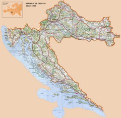
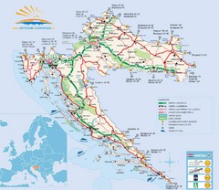
Croatia Road Map
305 miles away
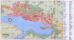
Sibenik City Map
City map of Sibenik, Croatia. Shows index for points of interest. In Croatian.
306 miles away
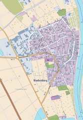
Niedernberg Map
Street map of Niedernberg
307 miles away
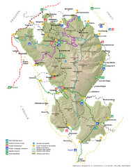
Parco Nazionale della Majella Map
General map of Majella National Park (Parco Naz. della Majella) in Italy. In Italian.
307 miles away
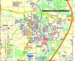
Windischeschenbach Tourist Map
Tourist street map of Windischeschenbach
308 miles away
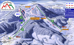
Mönichkirchen Ski Trail Map
Trail map from Mönichkirchen.
308 miles away
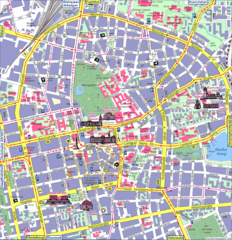
Darmstadt Tourist Map
Tourist street map of Darmstadt
309 miles away
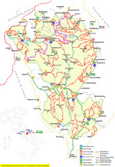
Parco Nazionale della Majella Trail Map
Trail map of Majella National Park (Parco Naz. della Majella) in Italy. Indicates under revision...
309 miles away
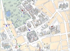
Darmstadt City Map
City map of Darmstadt, Germany. Shows major buildings and the Herrngarten.
310 miles away

Zeil am Main Tourist Map
Tourist street map of Zeil am Main and surrounding region
310 miles away

Oppenheim Map
Street map of city of Oppenheim
311 miles away
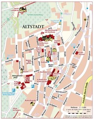
Oppenheim Altstadt Map
Street map of Altstadt area Oppenheim
311 miles away
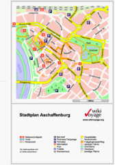
Aschaffenburg Tourist Map
Tourist street map of Aschaffenburg
311 miles away
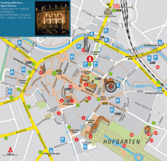
Bayreuth Tourist Map
Tourist map of Bayreuth town center
311 miles away
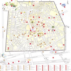
Nimes - centre Map
311 miles away

Nimes Map
311 miles away
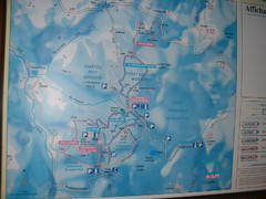
Station du Haut-Folin ? Nordic Ski Trail Map
Trail map from Station du Haut-Folin, which provides nordic skiing. This ski area has its own...
312 miles away
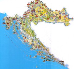
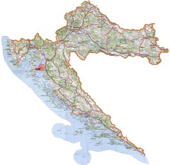
Tourist Map of Croatia
313 miles away
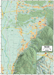
Cycling Paths in Croatia - Medvednica Nature Park...
Bike Paths and Routes for the picturesque western foothills of Medvednica Nature Park. Note: The...
314 miles away
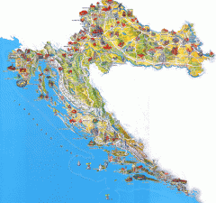
Croatia Tourist Map
Cool illustrated tourist map highlights significant tourist destinations with drawings of buildings...
314 miles away

