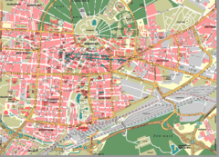
Karlsruhe Map
City street map of Karlsruhe
255 miles away
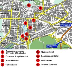
Karlsruhe Hotel Map
255 miles away
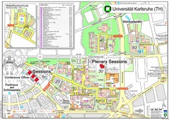
Karlsruhe University Campus Map
Campus map of Universität Karlsruhe, the oldest Technical University in Germany, founded in...
255 miles away
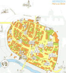
Herrieden Map
Street map of town center of Herrieden
256 miles away
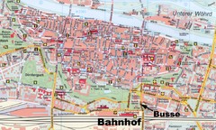
Regensburg Tourist Map
Tourist map of Regensburg city center
256 miles away
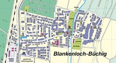
Buechig Map
Street map of town of Buechig
256 miles away
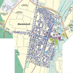
Blankenloch Map
Street map of town of Blankenloch
257 miles away
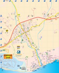
La Londe Tourist Map
Tourist map of La Londe, France. Shows services, businesses, and points of interest.
258 miles away
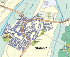
Staffort Map
Street map of town of Staffort
259 miles away

Western Strasbourg Tourist Map
259 miles away
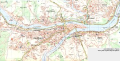
Passau Map
City map of Passau and surrounding area
259 miles away
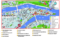
Passau Tourist Map
Tourist map of Passau, Germany. Shows points of interest. In English.
259 miles away
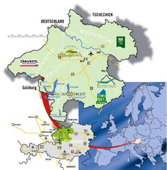
Upper Austria Tourist Map
260 miles away
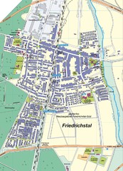
Friedrichstal Map
Street map of town of Friedrichstal
260 miles away
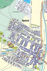
Spoeck Map
Street map of town of Spoeck
260 miles away
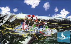
Mont Serein Ski Trail Map
Trail map from Mont Serein, which provides downhill skiing. This ski area has its own website.
260 miles away
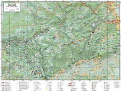
Samobor Region Cycling Route Map
Cycling route map for region west of Samobor, Croatia. Shows all routes in km
260 miles away
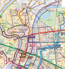
Lyon Map
Street map of Lyon, France. Shows metro lines.
261 miles away
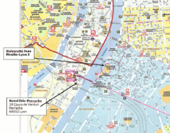
Lyon, France Tourist Map
261 miles away
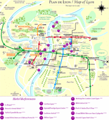
Lyon Tourist Map
261 miles away
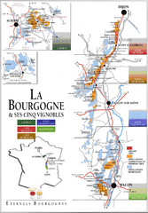
Burgandy Region Wine Districts Map
Shows wine districts of La Bourgogne region, France from Dijon to Macon.
262 miles away

Teramo Map
263 miles away
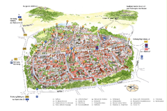
Neumarkt in der Oberpfalz Map
Tourist map of city center of Neumarkt in der Oberpfalz, Germany. In German
265 miles away
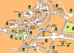
Signes Map
266 miles away
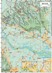
Sulta and Sava Croatia Cycling Route Map
the trails on this map are through picturesque hills to the confluence of the Sutla and Sava Rivers...
267 miles away
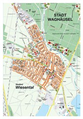
Wiesental Map
Street map of town of Wiesental
267 miles away

Giulianova Centro Storico Map
267 miles away
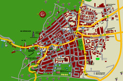
Bad Bergzabern Tourist Map
Tourist street map of Bad Bergzabern
268 miles away

Giulianova Map
268 miles away
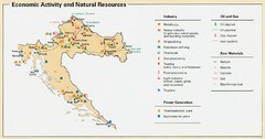
Croatia Economic Activity Map
Map of Croatia's economic activity and natural resources
268 miles away

Vaison la Romaine Map
268 miles away
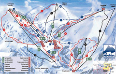
Hochkar Ski Trail Map
Trail map from Hochkar.
268 miles away
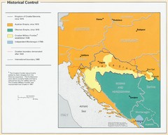
Croatia Historical Control Map
269 miles away
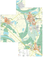
Philippsburg Map
Street map of Philippsburg
269 miles away
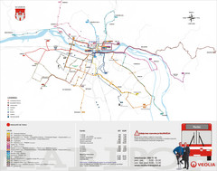
Maribor Bus Map
A map of bus lines in Maribor, Slovenia (Slovenian).
269 miles away
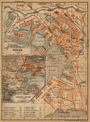
Toulon Map
The following maps are from "Southern France Including Corsica; Handbook for Travellers"...
270 miles away
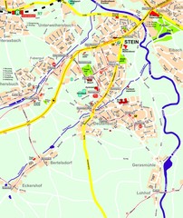
Stein Map
Street map of Stein and surrounding region
271 miles away
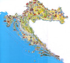
Croatia Tourist Map
Attractions and locations in Croatia
271 miles away
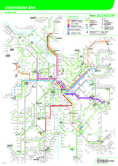
Graz Tram and Bus Map
Shows 8 tram lines and 23 bus lines in Graz, Austria
271 miles away

