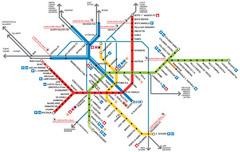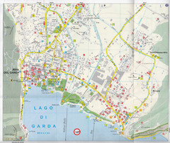
Riva del Garda Map
38 miles away
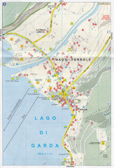
Nago-Torbole Map
40 miles away
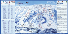
Aprica Ski Trail Map
Trail map from Aprica, which provides downhill skiing. This ski area has its own website.
43 miles away
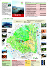
Monte Barro Map
45 miles away
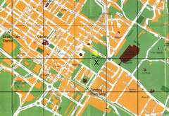
Sesto Map
46 miles away
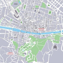
Porta Romana Town Map
50 miles away
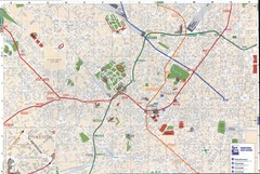
Milan downtown Map
50 miles away
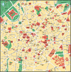
Milan Center Map
50 miles away
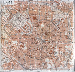
Milan Tourist Map
50 miles away
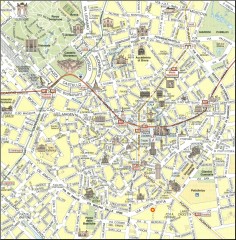
Milan Tourist Map
Tourist map of central Milan, Italy. Shows major buildings.
50 miles away
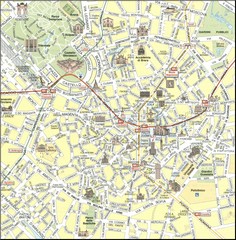
Milan Center Map
51 miles away
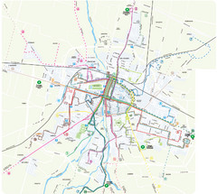
Parma Bus Lines Map
51 miles away

Parma Map
51 miles away

Parma centro storico Map
51 miles away
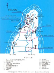
Bellagio Map
56 miles away
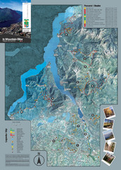
Lake Como Mountain Biking Trail Map
Trail map of mountain biking routes around Lake Como, Italy.
56 miles away
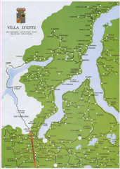
Lake Como Map
Map of lake with detail of surrounding towns
56 miles away
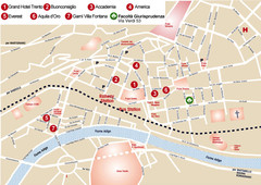
Trento center Map
56 miles away
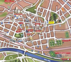
Trento Tourist Map
Tourist map of central Trento, Italy. Shows major buildings.
57 miles away
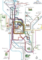
Trento Bus Route Map (Italian)
57 miles away

Pavia Map
57 miles away
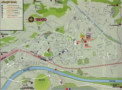
Trento Map
57 miles away
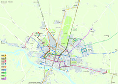
Pavia Map
57 miles away
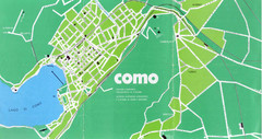
Como City Map
City map and historical sites of Como, Italy.
58 miles away
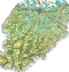
Piacenza Province Map
Physical map of Piacenza Province, Italy
59 miles away
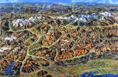
Eastern Alps Italy and Austria Overview Map
Panoramic map of the mountains and towns of northern Italy, the Tyrol, and southern Austria
64 miles away
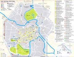
Vicenza Map
64 miles away
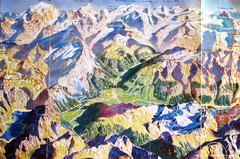
Bormio Panorama Map
Panorama tourist map of Bormio, Italy. Shows Ortler Alps in distance. From photo.
64 miles away
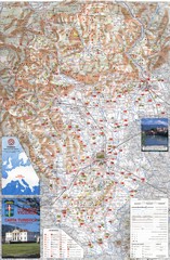
Vicenza Tourist Map
Tourist map of region around Vicenza, Italy. Shows points of interest. In Italian. Scanned.
64 miles away
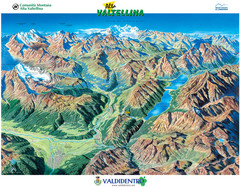
Valdidentro Alta Valtellina Summer Map
Panorama tourist map of the region of Valdidentro Alta Valtellina from Bormio, Italy to Livigno...
65 miles away
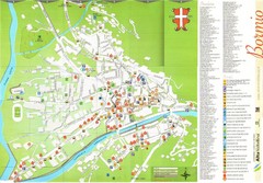
Bormio Tourist Map
Tourist map of town of Bormio, Italy. Legend of all streets and services.
65 miles away
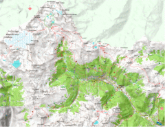
Val di Rabbi Topo Map
Detailed topographic map of Val di Rabbi, Italy on the edge of Stelvio National Park
66 miles away
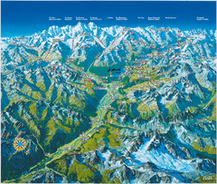
Engadin St. Moritz Region Summer Map
Summer panoramic tourist map of Engadin region of Switzerland. Includes St. Moritz, Piz Bernina...
68 miles away

St. Moritz Tourist Map
Tourist map of St. Moritz, Switzerland. Shows summer and winter points of interest.
69 miles away

Sulden Trafoi Summer Hiking Map
Summer hiking route map of Sulden (Solda) Italy, Trafoi, Italy and Stelvio, Italy. Shows hiking...
70 miles away

Sulden Ski Trail Map
Ski trail map of Sulden (Solda), Italy in the Ortler Alps. Shows trails and lifts.
71 miles away
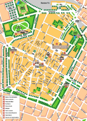
Modena Tourist Map
Tourist map of center of Modena, Italy. Shows points of interest.
71 miles away
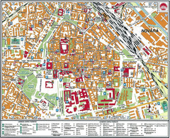
Novara Map
78 miles away
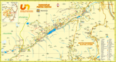
Ultental Deutschnonsberg St. Walburg Tourist Map
Tourist map of the southern Tyrol region around Ultental, Deutschnonsberg, and St. Walburg/ S...
78 miles away

