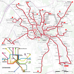
Salzburg Trolleybus Map
207 miles away
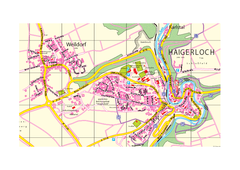
Haigerloch & Weildorf Map
Map of Haigerloch / Weildorf area
207 miles away
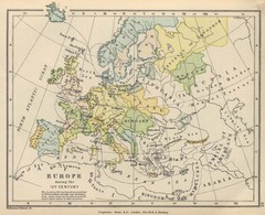
Europe 15th Century Colbeck Map
Europe during the 15th Century
207 miles away

Old European map
207 miles away
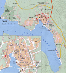
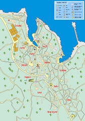
Cres City Map
City map of Cres, Island of Cres, Croatia.
208 miles away

Assisi Map
208 miles away
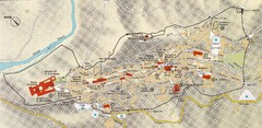
Assisi Tourist Map
Tourist map of Assisi, Italy
208 miles away
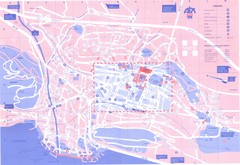
Aix le Bain Map
209 miles away
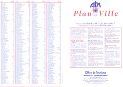
Aix le Bain - index Map
209 miles away
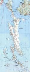
Cres & Losinj Island Map
Tourist map of island of Cres and island of Losinj, Croatia.
209 miles away

Cres Island Map
Road map of island of Cres, Croatia. Biggest island in Croatia.
209 miles away
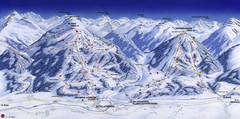
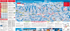
Planai-Hochwurzen Ski Trail Map
Trail map from Schladming.
209 miles away
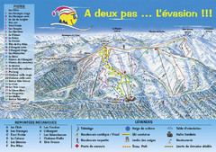
Chabanon Ski Trail Map
Trail map from Chabanon.
209 miles away
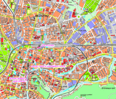
Ljubljana Tourist Map
Tourist map of central Ljubljana, Slovenia.
209 miles away
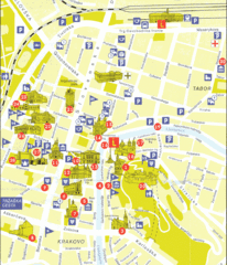
Ljubljana Slovenia Tourist Map
Tourist Map of Ljubljana Slovenia showing sites and roads of the city.
209 miles away
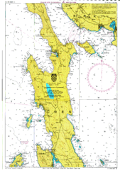
Cres hajózási Map
210 miles away
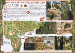
Sovana. Parco archeologico "Citta del tufo...
210 miles away
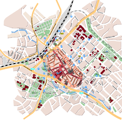
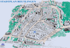
Reutlingen Tourist Map
Tourist street map of Reutlingen
210 miles away
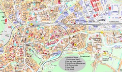
Ljubljana City Map
City map of Ljubljana, Slovenia. Shows some points of interest.
210 miles away
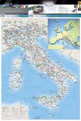
Italy Physical Map
High quality physical map of Italy, with shaded relief. Inset shows Italy in context of Europe.
210 miles away
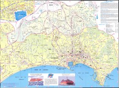
Cannes Map
210 miles away
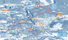
Les Rousses Nordic Ski Trail Map
Trail map from Les Rousses.
210 miles away
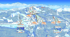
Les Rousses Ski Trail Map
Trail map from Les Rousses.
210 miles away
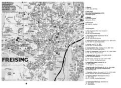
Freising City Map
211 miles away
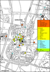
Garching Map
Map of Garching, a suburb to the north of Munich, with hotels, restaurants and bus stops marked.
211 miles away
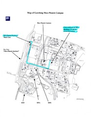
Garching Max-Planck Campus Map
Map of the Max-Planch Campus in Garching, Germany. Includes information on Accommodation and...
211 miles away
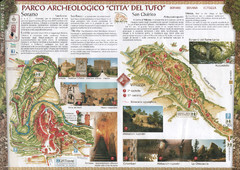
Sorano. Parco archeologico "Citta del tufo...
211 miles away
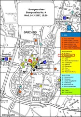
Map of the city of Garching, Germany
General visitor information including the locations of restaurants, hotels, bus stops and more.
211 miles away

Wuerttembergische Landeskirche Map
Karte der Evang. Landeskirche in Wuerttemberg, The Evangelical-Lutheran Church in Wuerttemberg
212 miles away
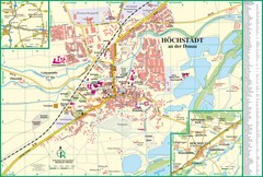
Höchstädt an der Donau Map
Street map of Höchstädt an der Donau
213 miles away
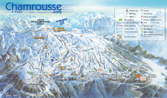
Chamrousse Ski Trail Map
Trail map from Chamrousse.
213 miles away
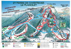
La Planolet Ski Trail Map
Trail map from La Planolet.
213 miles away
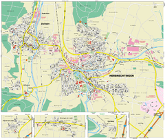
Herbrechtingen Map
Street map of city of Herbrechtingen
213 miles away
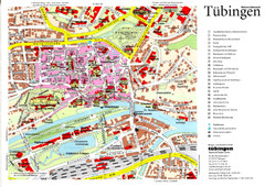
Tübingen Tourist Map
Tourist map of Old Town center of Tübingen
213 miles away
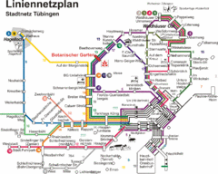
Tubingen Bus Map
Bus routes and connections, Tubingen, Germany. (German).
214 miles away
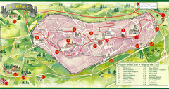
Spello Tourist Map
Tourist map of city of Spello, Italy. Shows points of interest. In English and Italian.
214 miles away

Spello Map
214 miles away

