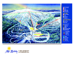
Mt. Baldy Family Ski Area Ski Trail Map
Trail map from Mt. Baldy Family Ski Area.
200 miles away
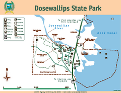
Dosewallips State Park Map
Map of park with detail of trails and recreation zones
200 miles away
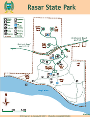
Rasar State Park Map
Map of park with detail of trails and recreation zones
200 miles away
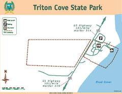
Triton Cove State Park Map
Map of park with detail of trails and recreation zones
200 miles away

Whidbey Island tourist map
Tourist map of Whidbey Island and Coupeville, Washington. Shows all businesses.
200 miles away
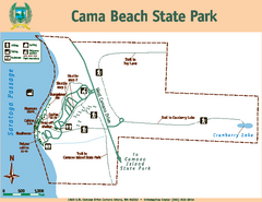
Cama Beach State Park Map
Map of park with detail of trails and recreation zones
204 miles away
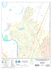
Keizer Oregon Road Map
204 miles away
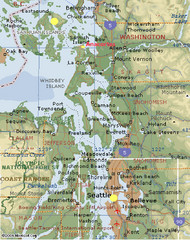
Washington State - West Coast Map
Washington State - West Coast Map
204 miles away
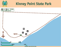
Kinney Point State Park Map
Map of island with detail of trails and recreation zones
204 miles away
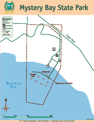
Mystery Bay State Park Map
Map of park with detail of trails and recreation zones
205 miles away
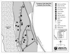
Thompson Falls State Park Map
This shaded, quiet campground is located on the Clark Fork River near the town of Thompson Falls in...
205 miles away

Red Mountain Trail Map
Ski trail map
205 miles away
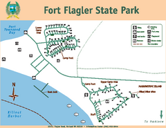
Fort Flagler State Park Map
Map of park with detail of trails and recreation zones
207 miles away

Red Mountain Ski Trail Map
Trail map from Red Mountain.
207 miles away
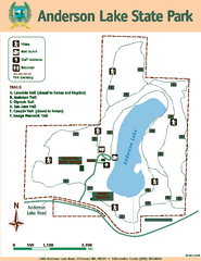
Anderson Lake State Park Map
Map of park and trails
207 miles away
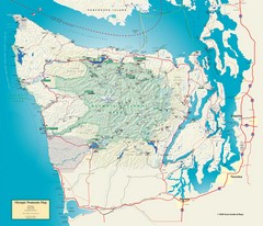
Olympic National Park and Peninsula Map
Guide to the Olympic National Park and surrounding region
207 miles away

2006–08 Black Jack Nordic Map
Trail map from Black Jack.
207 miles away
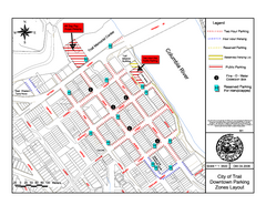
City of Trail Downtown Parking Map
Parking map of downtown Trail, British Columbia
208 miles away

City of Trail BC Map
Map of city of Trail, BC on the Columbia River
208 miles away
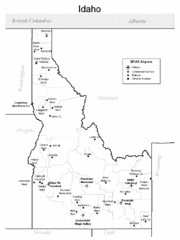
Idaho Airports Map
209 miles away
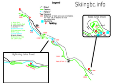
Manning Park Resort 2004–07 Manning Park...
Trail map from Manning Park Resort, which provides downhill and nordic skiing. It has 4 lifts...
209 miles away
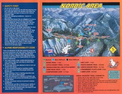
Manning Park Resort 2004–07 Manning Park Cross...
Trail map from Manning Park Resort, which provides downhill and nordic skiing. It has 4 lifts...
209 miles away
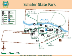
Schafer State Park Map
Map of park with detail of trails and recreation zones
209 miles away
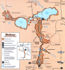
Malheur National Wildlife Refuge Map
Detailed Map of the Malheur Wildlife Refuge in Oregon showing places of interest, roads and...
209 miles away
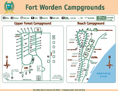
Fort Worden Campgrounds Map
Map of park campgrounds
211 miles away
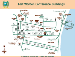
Fort Worden Conference Buildings Map
Map of conference buildings in Fort Worden State Park
211 miles away
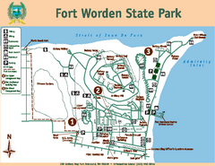
Fort Worden State Park Map
Map of park with detail of trails and recreation zones
211 miles away

Coupeville tourist map
Tourist map of Coupeville, Washington. Shows all businesses.
211 miles away
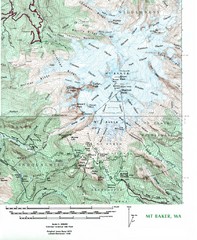
Mt. Baker Topo Map
Topo map of Mt. Baker, Washington, elevation 10,778ft.
212 miles away
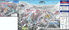
Mt. Baker Ski Trail Map
Official ski trail map of Mount Baker ski area from the 2007-2008 season.
212 miles away
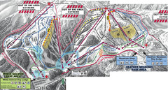
Mt. Baker Ski Area Ski Trail Map
Trail map from Mt. Baker Ski Area, which provides terrain park skiing. It has 10 lifts servicing 38...
213 miles away

Oak Harbor tourist map
Tourist map of Oak Harbor, Washington. Shows all businesses.
213 miles away
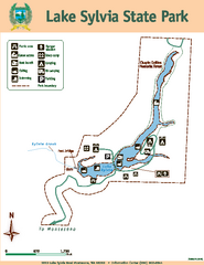
Lake Sylvia State Park Map
Map of island with detail of trails and recreation zones
213 miles away
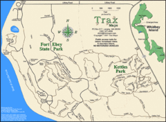
Ft Ebey/Kettle Park Trail Map
Trail map of Fort Ebey Park and Kettle Park, Washington
213 miles away
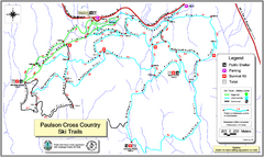
Paulson X-C (Castlegar Nordic) Ski Trail Map
Trail map from Paulson X-C (Castlegar Nordic), which provides nordic skiing. This ski area has its...
214 miles away

Skagit County Washington, 1909 Map
214 miles away
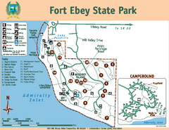
Fort Ebey State Park Map
Map of park with detail of trails and recreation zones
214 miles away
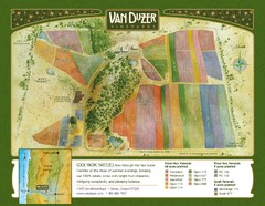
Van Duzer Vineyard Map
"A colorful vineyard map that shows the location of Van Duzer’s numerous grape varietals...
215 miles away

Independence Oregon Road Map
215 miles away
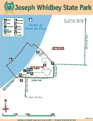
Joseph Whidbey State Park Map
Map of park with detail of trails and recreation zones
216 miles away

