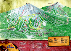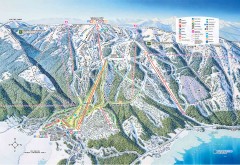
Tamarack Ski Trail Map
Official ski trail map of Tamarack ski area from the 2007-2008 season.
186 miles away
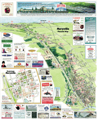
Marysville tourist map
Tourist map of Marysville, Washington. Shows all businesses.
186 miles away
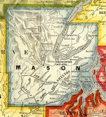
Mason County Washington, 1909 Map
186 miles away
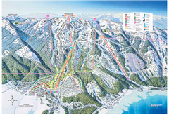
Tamarack Resort Ski Trail Map
Trail map from Tamarack Resort, which provides downhill, nordic, and terrain park skiing. It has 7...
187 miles away

Sandpoint City Map
Street map of downtown Sandpoint
187 miles away
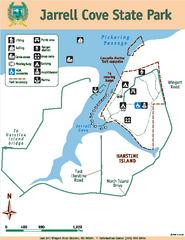
Jarrell Cove State Park Map
Map of park with detail of trails and recreation zones
187 miles away
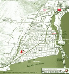
Map of Sandpoint, Idaho
Map of the entire town of Sandpoint including all streets, highways and other information.
187 miles away
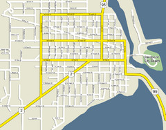
Sandpoint City Beach Map
Downtown Sandpoint Map.
187 miles away
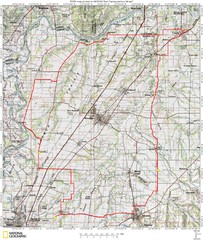
Spring Century Bike Route Map
Oregon Spring Century Ride
188 miles away

Schweitzer Mountain Trail Map
Map of ski trails
189 miles away
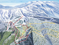
Schweitzer Mountain Trail Map
Ski trail map of Schweitzer Mountin
189 miles away
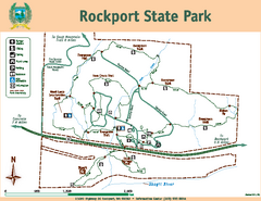
Rockport State Park Map
Map of park with detail of trails and recreation zones
190 miles away
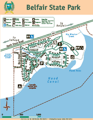
Belfair State Park Map
Map of park, with detail of trails and recreation zones
190 miles away

Arlington tourist map
Tourist map of Arlington, Washington. Shows all businesses.
190 miles away
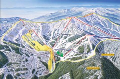
Schweitzer Ski Trail Map - Front
Official ski trail map of front side of Schweitzer ski area from the 2007-2008 season.
191 miles away
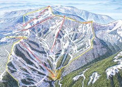
Schweitzer Ski Trail Map - Outback Bowl
Official ski trail map of back side of Schweitzer ski area from the 2007-2008 season.
191 miles away
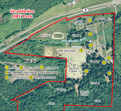
Grays Harbor County Straddleline ORV Park...
Park Map near Olympia
192 miles away
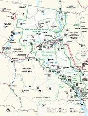
North Cascades National Park map
Official NPS map of North Cascades National Park, Washington. Shows the entire park and...
192 miles away

Arlington and Smokey Point tourist map
Tourist map of Arlington and Smokey Point, Washington. Shows all businesses.
193 miles away
Stottlemeyer trails Map
193 miles away
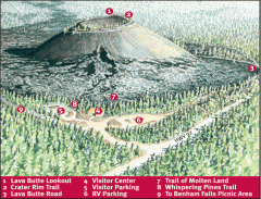
Newberry National Volcanic Monument - Lava Lands...
Map of Lava Butte which rises 500 feet above the visitor center. This cinder cone erupted 7,000...
193 miles away
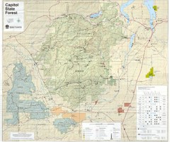
Capitol State Forest Map
193 miles away
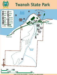
Twanoh State Park Map
Map of park with detail of trails and recreation zones
193 miles away
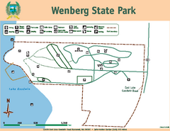
Wenberg State Park Map
Map of park with detail of trails and recreation zones
193 miles away

South Whidbey Island tourist map
Tourist map of South Whidbey Island, Washington. Shows all businesses.
193 miles away
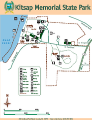
Kitsap Memorial State Park Map
Map of island with detail of trails and recreation zones
194 miles away
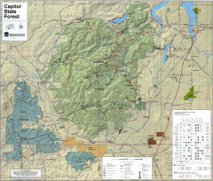
Capitol State Forest Map
Shows all trails in Capitol State Forest and surrounding area, including Lower Chehalis State...
194 miles away
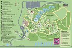
Oregon Garden Map
Map and key marking trails and more in this amazing garden.
194 miles away
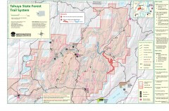
Tahuya State Forest Trail Map
Shows trails of Tahuya State Forest. Show roads, doubletrack, singletrack, and 4WD only.
194 miles away

South Whidbey tourist map
Tourist map of South Whidbey, Washington. Shows all businesses.
194 miles away
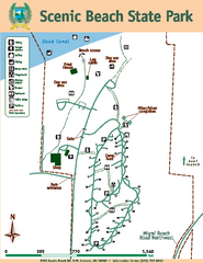
Scenic Beach State Park Map
Map of park with detail of trails and recreation zones
196 miles away

Kettle Valley Trails Map
Map of Kettle Valley Trails. Includes all trails, streets, and attractions.
196 miles away
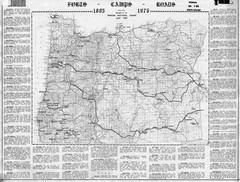
Oregon Military Map
Detailed guide to military forts, camps and roads on teh western Oregon coast
197 miles away
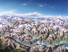
North Cascades National Park Oblique Map
Oblique map looking across Ross Damn, and Diablo Lake towards Seattle
197 miles away
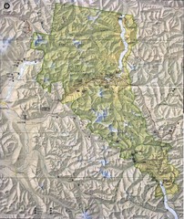
North Cascades National Park Physical Map
National Park
197 miles away

BANKS-VERNONIA STATE TRAIL Map
197 miles away
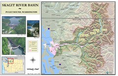
Skagit River Map
Skagit River Basin Overview Map (Pink shading is the FEMA 100 Year Flood)
197 miles away
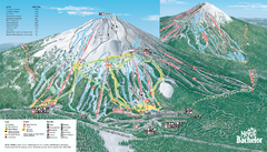
Mt. Bachelor Ski Trail map
Official ski trail map of Mount Bachelor ski area from the 2006-2007 season.
198 miles away

Phoenix Mountain Ski Trail Map
Trail map from Phoenix Mountain.
199 miles away

