Magnolia tourist map
Tourist map of Magnolia, Washington. Shows all businesses.
178 miles away

Centennial Trail Map
178 miles away
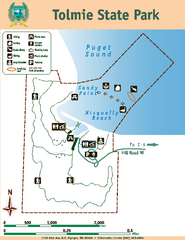
Tolmie State Park Map
Map of park with detail of trails and recreation zones
178 miles away
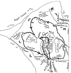
Discovery Park Walking Map Seattle Map
You can walk the Historic Parade Grounds in Fort Lawton (1.5 miles) and/or the 2.8 mile Trail Loop...
178 miles away
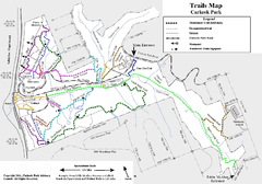
Carkeek Park Trail Map
Trail map of Carkeek Park on the Puget Sound, Seattle, WA. Shows maintained and unmaintained trails.
179 miles away
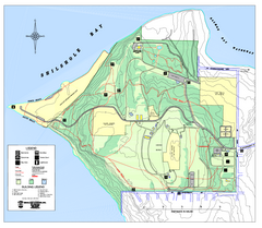
Discovery Park trail map
Trail and facility map of Discovery Park. Discovery Park is a 534 acre natural area park operated...
179 miles away
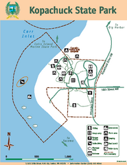
Kopachuck State Park Map
Map of island with detail of trails and recreation zones
179 miles away
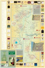
Oregon Winery Map / Local Side
179 miles away
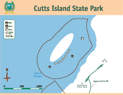
Cutts Island Stay Park Map
Map of park with detail of trails and recreation zones
179 miles away

Centennial Trail Map
Centennial Trail has 23 miles completed (Snohomish to Bryant) with more in progress.
180 miles away
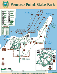
Penrose Point State Park Map
Map of park with detail of trails and recreation zones
180 miles away

Tigard Oregon Road Map
180 miles away
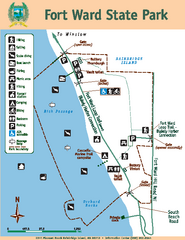
Fort Ward State Park Map
Map of park with detail of trails and recreation zones
181 miles away
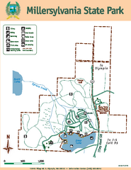
Millersylvania State Park Map
Map of park with detail of trails and recreation zones
181 miles away
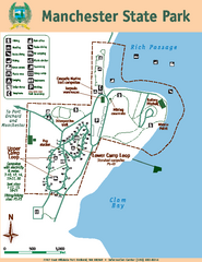
Manchester State Park Map
Map of park with detail of trails and recreation zones
181 miles away
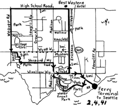
Bainbridge Walking Map
From Seattle Ferry Terminal, take the Bainbridge Ferry to Winslow. The walk is 4 miles with...
181 miles away

Downtown Edmonds tourist map
Tourist map of Downtown Edmonds, Washington. Shows all businesses.
182 miles away
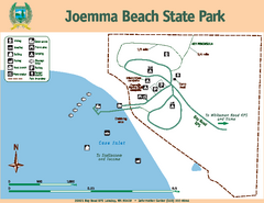
Joemma Beach State Park Map
Map of park with detail of trails and recreation zones
182 miles away
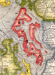
Island County Washington, 1909 Map
182 miles away
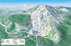
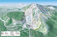
Hoodoo Mountain Ski Trail Map
Ski trail map of Hoodoo Mountain ski area.
182 miles away

Olympia Map
Map of downtown Olympia's parking and shuttle routes.
182 miles away
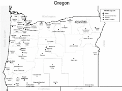
Oregon Airport Map
182 miles away

King City Oregon Road Map
182 miles away
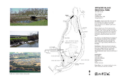
Spencer Island Park map
183 miles away
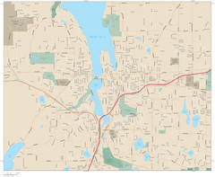
Olympia, Washington City Map
183 miles away
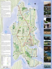
Bainbridge Island Hiking and Biking Map
Shows trails and bike routes on Bainbridge Island, Washington in the Puget Sound. Also shows...
183 miles away

Edmonds tourist map
Tourist map of Edmonds, Washington. Shows all businesses.
183 miles away
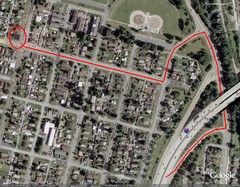
19th and Walnut in Everett, WA Map
183 miles away
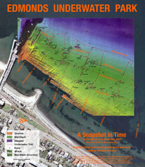
Edmonds Underwater Park Map
Map of underwater park for divers
183 miles away
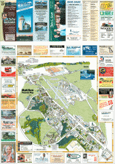
Mukilteo tourist map
Mukilteo, Washington tourist map. Shows all businesses.
183 miles away
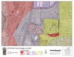
Bend, Oregon Zoning Map
Map of the zoning area changes in Bend, Oregon. Includes color-coded zoning areas.
183 miles away
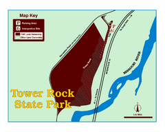
Tower Rock State Park Map
Tower Rock State Park is one of Montana's newest state parks. The 400-foot high igneous rock...
184 miles away
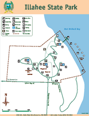
Illahee State Park Map
Map of park with detail of trails and recreation zones
184 miles away
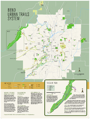
Bend urban trails system Map
The Bend Urban Trail System currently includes approximately 48 developed miles of trails which...
184 miles away
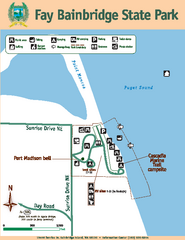
Fay Bainbridge State Park Map
Map of park with detail of trails and recreation zones
184 miles away

3-D Panoramic Map of the Puget Sound
A 3D panoramic map of a view from a private residence over Puget Sound toward the Olympic mountains.
185 miles away

Mukilteo tourist map
Greater Mukilteo, Washington tourist map. Shows all businesses.
185 miles away
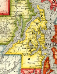
Kitsap County Washington, 1909 Map
185 miles away
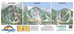
Lookout Pass Ski Trail Map
Official ski trail map of Lookout Pass ski area from the 2007-2008 season. Shows Montana, Idaho...
186 miles away

