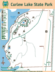
Curlew Lake State Park Map
Map of park with detail of trails and recreation zones
152 miles away
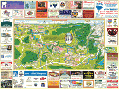
Snoqualmie tourist map
Snoqualmie, Washington tourist map. Shows all businesses.
154 miles away
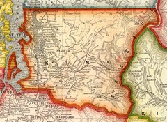
King County Washington, 1909 Map
154 miles away
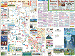
Snoqualmie Valley tourist map
Tourist map of the Snoqualmie Valley, Washington. Shows all businesses.
155 miles away
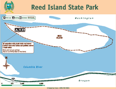
Reed Island State Park Map
Map of park with detail of trails and recreation zones
156 miles away
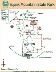
Squak Mountain State Park Map
Map of park with detail of trails and recreation zones
158 miles away
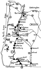
Oregon Walks Map
Walks in Portland, Oregon City, Corvallis, Salem, Lebanon, Albany, Eugene, Springfield, Junction...
159 miles away
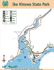
Ike Kinswa State Park Map
Map of park with detail of trails and recreation zones
159 miles away
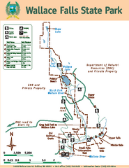
Wallace Falls State Park Map
Map of park with detail of trails and recreation zones
159 miles away
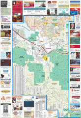
Issaquah tourist map
Issaquah, Washington tourist map. Shows all businesses.
160 miles away
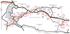
Trail of the Coeur d'Alenes Map
Shows the Trail of the Coeur d'Alenes, a 72 mile bike path that follows the Union Pacific...
160 miles away
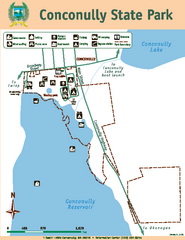
Conconully State Park Map
Map of park with detail of trails and recreation zones
160 miles away
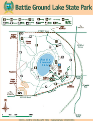
Battle Ground Lake State Park Map
Map of park with detail of trails and recreation zones
160 miles away
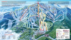
49 Degrees North Ski Trail Map
Official ski trail map of ski area from the 2007-2008 season.
160 miles away
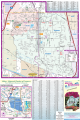
Milton and Edgewood tourist map
Tourist map of Milton and Edgewood, Washington. Shows all businesses.
160 miles away
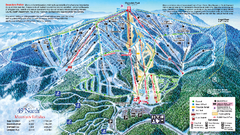
49 North Mountain Resort Ski Trail Map
Trail map from 49 North Mountain Resort, which provides downhill, night, nordic, and terrain park...
161 miles away
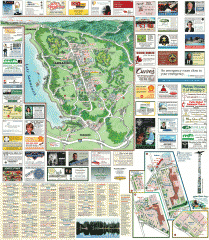
Sammamish tourist map
Sammamish, Washington tourist map. Shows all businesses.
161 miles away
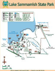
Lake Sammamish State Park Map
Map of island with detail of trails and recreation zones
161 miles away
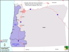
Oregon Coho Salmon Map
Shows federally listed coho salmon evolutionarily significant units in Washington state.
161 miles away
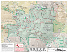
Cougar Mountain Park Trail Map
Trail map of Cougar Mountain Regional Wildland Park, part of the "Issaquah Alps"
161 miles away
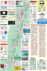
Milton tourist map
Tourist map of Milton, Washington. Shows all businesses.
162 miles away
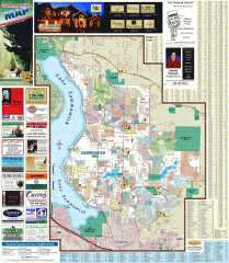
Sammamish tourist map
Tourist map of Sammamish, Washington. Shows all businesses.
162 miles away
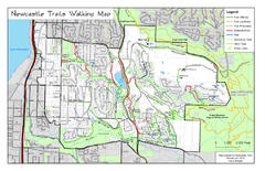
Newcastle Trails Trail Map
Trail map of existing and proposed trails in Newcastle, WA
164 miles away
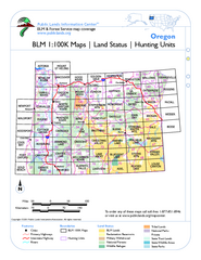
Oregon Hunting Unit/BLM Map Index
This map shows which BLM land ownership maps cover all hunting units in Oregon. Color indicates...
164 miles away
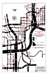
Renton WA Traffic Flow Map
City of Renton, WA traffic flow map
164 miles away
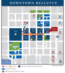
Downtown Bellevue Map
Driving Directions and Downtown Map
166 miles away

Tourist map of Downtown Des Moines, Washington
Tourist map of Downtown Des Moines, Washington. Shows all businesses.
166 miles away

Des Moines Washington tourist map
Tourist map of Des Moines, Washington, including Kent and SeaTac airport.
166 miles away
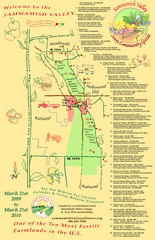
Sammamish Valley Guide Map
166 miles away
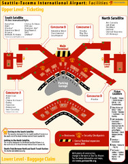
SeaTac Airport Map
167 miles away
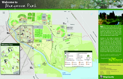
Marymoor Park Map
167 miles away
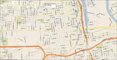
Tacoma, Washington City Map
167 miles away
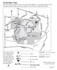
Powell Butte Nature Park Trail Map
Trail map of Powell Butte Nature Park. Shows over 9 miles of trails
167 miles away
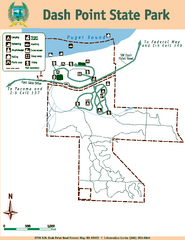
Dash Point State Park Map
Map of park with detail of trails and recreation zones
167 miles away

Shadowrun Redmond Map
167 miles away
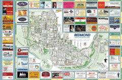
Redmond tourist map
Tourist map of Redmond, Washington. Shows all businesses.
167 miles away
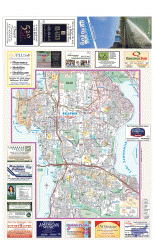
Bellevue tourist map
Tourist map of Bellevue, Washington. Shows all businesses.
168 miles away
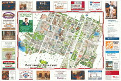
Tourist map of Downtown Bellevue
Tourist map of Downtown Bellevue, Washington. Shows all businesses.
168 miles away

Maywood Park Oregon Road Map
168 miles away

