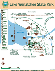
Lake Wenatchee State Park Map
Map of island with detail of trails and recreation zones
128 miles away
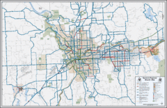
Spokane, Washington Bike Map
128 miles away
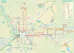
Spokane Guide Map
Roads and areas in and around Spokane, Washington
129 miles away
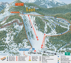
The Summit at Snoqualmie Summit East Ski Trail Map
Trail map from The Summit at Snoqualmie, which provides night and terrain park skiing. It has 30...
131 miles away
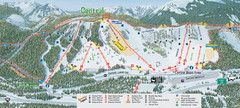
The Summit at Snoqualmie Summit Central Ski Trail...
Trail map from The Summit at Snoqualmie, which provides night and terrain park skiing. It has 30...
131 miles away
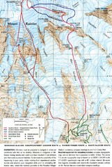
Mount Rainier Topo Map
Map of Mount Rainier Ascent. We ascended the "Muir Snowfield" and then went up the "...
131 miles away
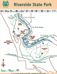
Riverside State Park Map
Map of park with detail of trails and recreation zones
131 miles away
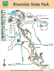
Riverside State Park Map
Map of park with detail of trails and recreation zones
131 miles away
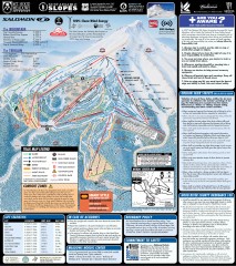
Mt. Hood Meadows Ski Trail Map
Official ski trail map of Mt. Hood Meadows ski area from the 2007-2008 season.
134 miles away
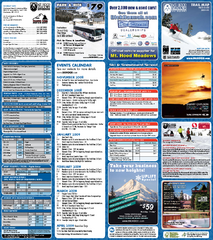
Mt. Hood Meadows Ski Resort Ski Trail Map
Trail map from Mt. Hood Meadows Ski Resort.
134 miles away
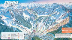
Stevens Pass Ski Trail Map
Official ski trail map of Stevens Pass ski area
135 miles away
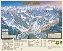
Stevens Pass Trail Map
135 miles away
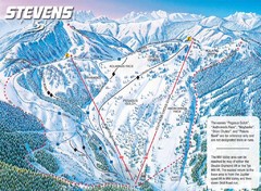
Stevens Pass Ski Area Stevens Pass Mill Valley...
Trail map from Stevens Pass Ski Area, which provides night and terrain park skiing. It has 8 lifts...
135 miles away

Timberline Ski Area Ski Trail Map
Trail map from Timberline Ski Area.
136 miles away
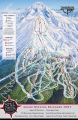
Timberline Ski Trail Map
Official ski trail map of Timberline Lodge ski area from the 2007-2008 season.
136 miles away
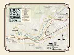
Iron Goat Trail Map
137 miles away
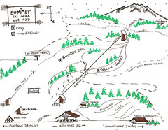
Summit Ski Area Ski Trail Map
Trail map from Summit Ski Area.
139 miles away
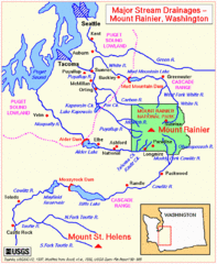
Mount Rainier Major Stream Drainages Map
139 miles away

Mt. Hood SkiBowl Ski Trail Map
Trail map from Mt. Hood SkiBowl.
139 miles away
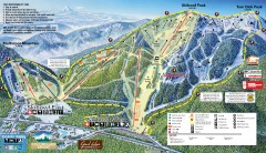
Mt. Hood Skibowl Ski Trail Map
Official ski trail map of ski area from the 2007-2008 season.
140 miles away
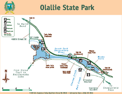
Olallie State Park Map
Map of park with detail of trails and recreation zones
140 miles away
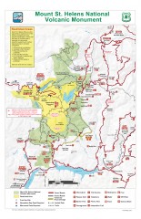
Mt. Saint Helens National Volcanic Monument...
Official recreation map showing all roads, trails, campgrounds, and other facilities. Also shows...
141 miles away
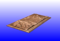
Mount St. Helens carved in wood by carvedmaps.com...
Mount St. Helens carved in wood by carvedmaps.com
141 miles away
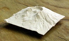
Mt. St. Helens 3D Print Map
This is a 3D-printed map of the cone, crater, and summit of Mt. St. Helens in Washington, USA. It...
142 miles away
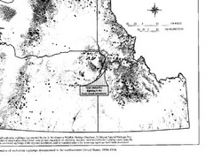
Map of Wolverine Sightings: 1886 -- 1998
145 miles away
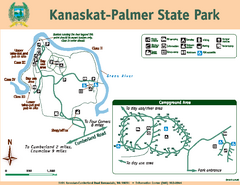
Kanaskat-Palmer State Park Map
Map of park with detail of trails and recreation zones
146 miles away
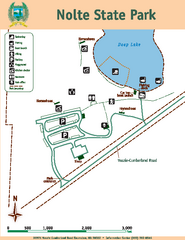
Nolte State Park Map
Map of park with detail of trails and recreation zones
146 miles away
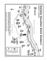
Historic Columbia River Highway Map
Official map from the US Forest Service. Shows the Corbett to Dodson stretch of Highway 30 with...
147 miles away
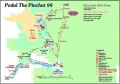
Pedal the Pinchot Bike Ride Route Map
Route Map for the Pedal the Pinchot 99 bike ride - annotated on a Park trail map.
148 miles away
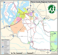
Pierce County Regional Trail Map
County-wide system of trails
148 miles away
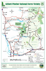
Gifford Pinchot National Forest Vicinity Map
Gifford Pinchot National Forest and surrounding areas including Mt. St Helens.
149 miles away
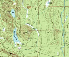
Fuller Mountain Topo Map
Fuller Mountain map with lakes, mountains and elevations identified.
150 miles away

Pierce County Washington Map, 1909 Map
150 miles away
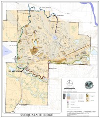
Snoqualmie Trail Map
Shows both soft surface and paved trails for biking, running/hiking/wailking, and horseback riding
150 miles away
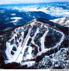
Loup Loup Ski Bowl Ski Trail Map
Trail map from Loup Loup Ski Bowl, which provides downhill, night, and nordic skiing. It has 2...
150 miles away
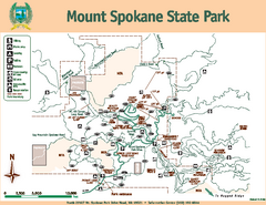
Mount Spokane State Park Map
Map of park with detail of trails and recreation zones
151 miles away
Mount Spokane Trail Map
Contour map of Mount Spokane
152 miles away
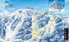
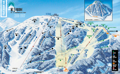
Mt. Spokane Ski Trail Map
Official ski trail map of Mount Spokane ski area from the 2006-2007 season.
152 miles away

