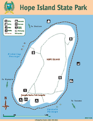
Hope Island State Park Map
Map of park with detail of trails and recreation zones
216 miles away
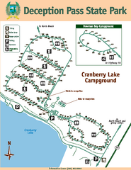
Deception Pass State Park Map
Map of park with detail of trails and recreation zones
217 miles away
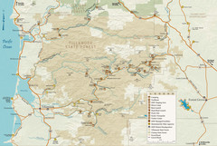
Tillamook State Forest Map
Recreation map of Tillamook State Forest. Over 60 miles of non-motorized trails and 150 miles of...
217 miles away
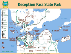
Deception Pass State Park Map
Map of park with detail of trails and recreation zones
217 miles away
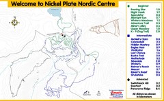
Nickel Plate Nordic Centre Ski Trail Map
Trail map from Nickel Plate Nordic Centre.
218 miles away
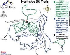
Nickel Plate Nordic Centre North Ski Trail Map
Trail map from Nickel Plate Nordic Centre.
218 miles away
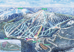
Apex Mountain Ski Trail Map
Official ski trail map of Apex Mountain ski area
218 miles away
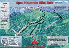
Apex Mountain Resort Biking Ski Trail Map
Trail map from Apex Mountain Resort, which provides downhill and terrain park skiing. It has 5...
218 miles away
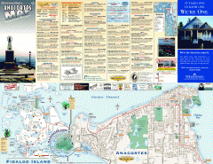
Fidalgo Island tourist map
Tourist map of Fidalgo Island in Anacortes, Washington. Shows recreation and points of interest.
218 miles away
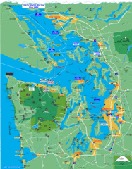
Seattle Ferry Guide Map
Map of ferries around Seattle, Puget Sound and Olympic Peninsula
219 miles away
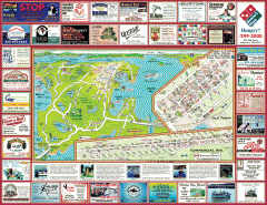
Anacortes tourist map
Tourist map of Anacortes, Washington. Shows recreation and points of interest.
220 miles away
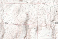
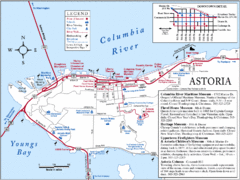
Astoria Oregon Map
A detailed topographic map of Astoria, Oregon and the Columbia River.
220 miles away
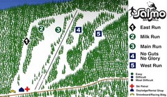
Salmo Ski Area Ski Trail Map
Trail map from Salmo Ski Area, which provides downhill skiing. This ski area has its own website.
221 miles away
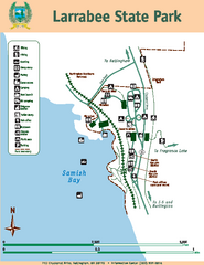
Larrabee State Park Map
Map of island with detail of trails and recreation zones
224 miles away
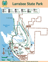
Larrabee State Park Map
Map of island with detail of trails and recreation zones
224 miles away
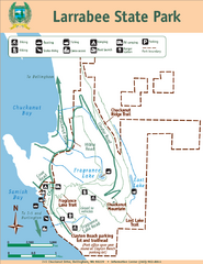
Larrabee State Park Map
Park map of Larrabee State Park, Washington.
224 miles away
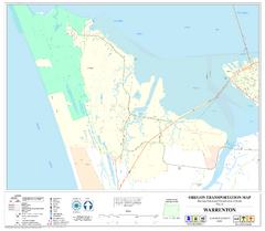
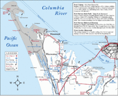
Warrenton Oregon Road Map
225 miles away
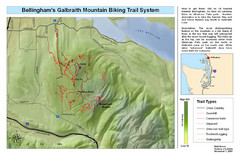
Bellingham Galbraith Mountain Biking Trail Map
Mountain biking trail map of Whatcom Falls Park near Bellingham, WA
225 miles away
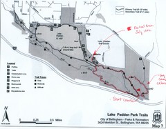
Lake Padden Park Trails Map
Course Elevation Map noted in handwriting on map. Festival location noted as well.
226 miles away
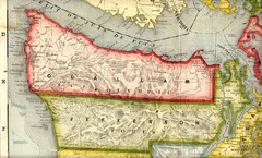
Clallam and Jefferson Counties Washington, 1909...
229 miles away
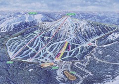
Apex Mountain Ski Resort Map
Apex Mountain Trail Map, Lifts and Elevations
229 miles away
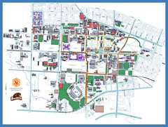
Oregon State University Campus Map
Campus map of Oregon State University in Corvallis, Oregon
229 miles away
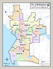
Bellingham Ward Map
Guide to wards in Bellingham, WA
230 miles away
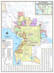
Bellingham, Washington City Map
230 miles away
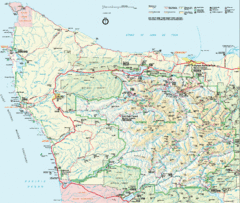
Olympic National Park Map
230 miles away
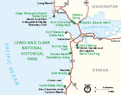
Lewis & Clark National Historic Trail...
Official NPS map of Lewis & Clark National Historic Trail in Oregon-Washington. Shows all areas...
230 miles away
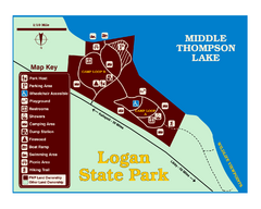
Logan State Park Map
With frontage on the north shore of Middle Thompson Lake, Logan is heavily forested with western...
231 miles away
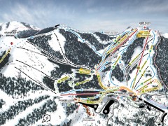
Bogus Basin Ski Trail Map - Front
Official ski trail map of frontside of Bogus Basin ski area from the 2007-2008 season.
231 miles away
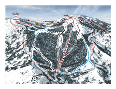
Bogus Basin Pine Creek Ski Trail Map
Trail map from Bogus Basin, which provides downhill, night, nordic, and terrain park skiing. It has...
231 miles away
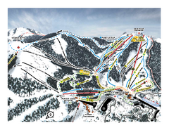
Bogus Basin Frontside Ski Trail Map
Trail map from Bogus Basin, which provides downhill, night, nordic, and terrain park skiing. It has...
231 miles away
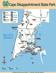
Cape Dissapointment State Park Map
Map of park with detail of trails and recreation zones
231 miles away
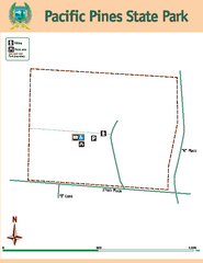
Pacific Pines State Park Map
Map of park with detail of trails and recreation zones
231 miles away
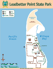
Leadbetter Point State Park Map
Map of park with detail of recreation zones and trails
231 miles away
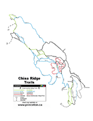
China Ridge XC Ski Trail Map
Trail map from China Ridge XC, which provides nordic skiing.
231 miles away
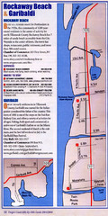
Rockaway Beach Map
231 miles away
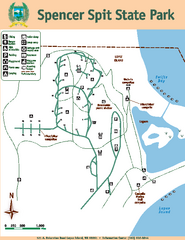
Spencer Spit State Park Map
Map of park with detail of trails and recreation zones
231 miles away
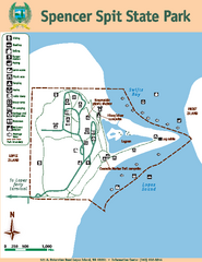
Spencer Spit State Park Map
Map of park with detail of trails and recreation zones
231 miles away
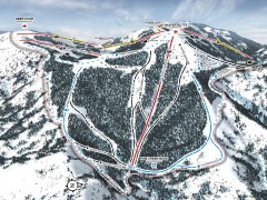
Bogus Basin Ski Trail Map - Pine Creek
Official ski trail map of Pine Creek area of Bogus Basinski area from the 2007-2008 season.
231 miles away

