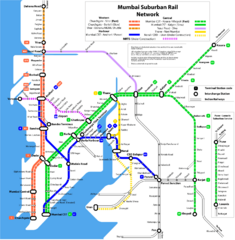
Mumbai Suburban Rail Map
Guide to Mumbai (Bombay) Suburban Railway
621 miles away
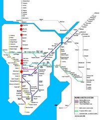
Mumbai Public Transportation Map
623 miles away
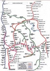
Mumbai Railway Map
623 miles away
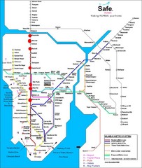
Mumbai Metro System Map
Map shows Metro lines in Mumbai, India with the airport and other tourist sites identified.
623 miles away
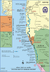
Konkan Railway Map
624 miles away
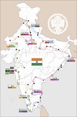
India Transportation Map
625 miles away

India Tourist Map
625 miles away

India Map
625 miles away

India Tourist Map
Map of India showing cities, roads, state boundaries and heritage sites.
625 miles away

India Tourist map
Map of India showing tourist centers, places of interest, cities and roads.
625 miles away
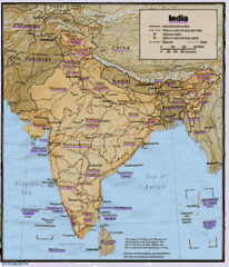
India Map
Tourist Destinations highlighted on India map. Map contains cities, major roads, railways and...
625 miles away

India Map
Map of India showing major cities and roads.
625 miles away

India Tourist Map
Simple map of India showing tourist sites with a star, cities, borders and airports.
625 miles away
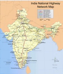
India Roadway Map
India National Highway Network Map
625 miles away
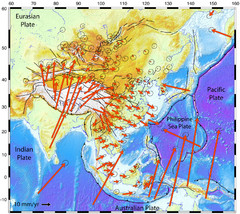
Horizontal Surface Motions map
This map illustrates the horizontal surface motions of sites in Asia. Eric Calais, a Purdue...
625 miles away
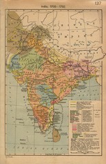
18th century India Map
625 miles away
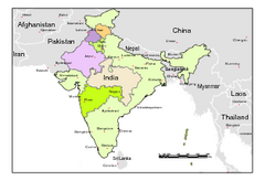
Political Map of India, Fully Editable in...
Political Map of India with boundaries of few Western and Northern states. Major cities have been...
625 miles away
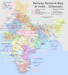
India Railway Network Schematic Map
Schematic rail map of India showing trunk and other routes.
625 miles away
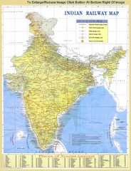
India Railway and Tourist Map
Railway and tourist map of India.
625 miles away
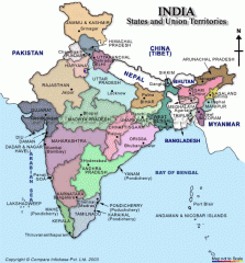
India states and union territories Map
India states and union territories
625 miles away
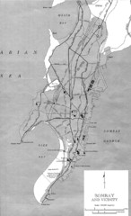
Bombay Street Map
Bombay (Mumbai), India street map.
626 miles away
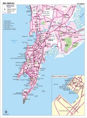
Mumbai City Map
Mumbai City map with tourist attractions and hospitals.
629 miles away
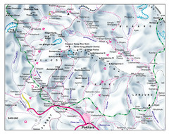
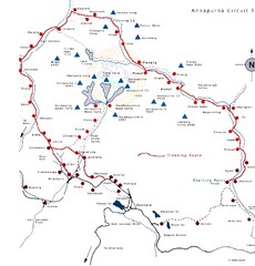
Gandaki Mountain Trail Map
Map of hiking trails for Gandaki Moutain range, Nepal.
653 miles away
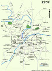
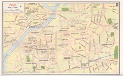
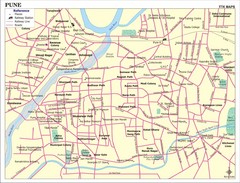
Pune Tourist Map
658 miles away
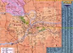
Pune Tourist Map
Tourist map of Pune, India area
658 miles away
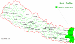
Nepal Tea Growing Regions Map
659 miles away
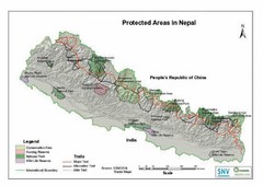
Nepal Protected Areas Map
659 miles away
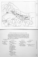
Early Geographical Locations of Vedic Schools Map
The map shows the homelands and the early spreading of the major Vedic sakhas in hte Middle and...
659 miles away
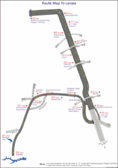
Road to Lavasa India Map
Map shows the roads and sights along the way from Chandani Chowk Toll Plaza to Lavasa.
662 miles away
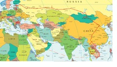
Partial Europe, Middle East, Asia, Partial Russia...
Map that shows the Eastern half of Europe, the Southern half of Russia, the Northern half of Africa...
665 miles away
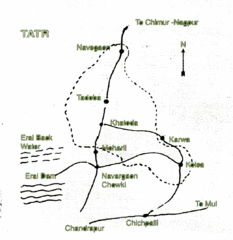
Tadoba National Park Map
Hand drawn map of Tadoba National Park, Chandrapur, India which is part of Tadoba -Andhari Tiger...
672 miles away
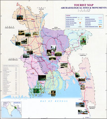
India Archaelogical Sites Map
Archaeological sites and monuments.
680 miles away
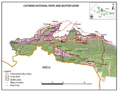
Royal Chitwan National Park Nepal Map
684 miles away

