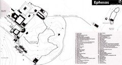
Map of Ancient Ephesos (Ephesus)
Guide to ancient Greek city, now in Turkey
234 miles away
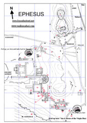
Ephesus, Turkey Map
Detailed map of Ephesus, with all of the key sights numbered. Visit the source site for a list of...
234 miles away
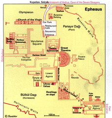
Ephesus, Turkey Map
Great simplistic map for a walking tour of the ancient city of Ephesus in Turkey.
235 miles away
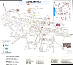
Selcuk Map
235 miles away
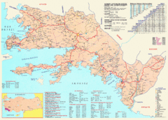
Muğla District Tourist Map
Tourist map of the Muğla district in Turkey. Includes cities of Bodrum, Mugla, and Fethiye...
241 miles away
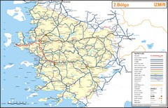
Izmir Region Highways Map
247 miles away
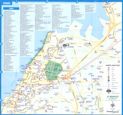
Izmir - Konak Map
255 miles away
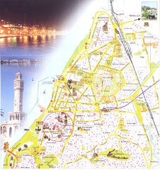
Izmir center Map
255 miles away
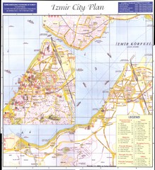
Izmir city plan Map
256 miles away
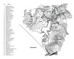
Patara plan map
Patara / Turkey is a touristic place of Mugla region
258 miles away
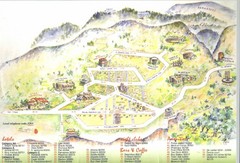
Delphi Tourist Map
Tourist map of Delphi (Delfi), Greece. Shows amenities, nightclubs, bars, cafes, and hotels...
259 miles away
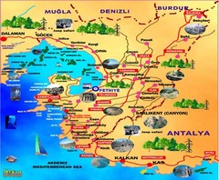
Fethiye guide of tourist map
260 miles away

Agean Sea Map
263 miles away
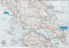
Greece Road Map
Map of Greece with the Aktion and Eleftherios Venizelos Airports marked.
266 miles away
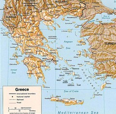
Greece Map
Map of Greece and surrounding countries showing cities, roads, railroads and borders.
267 miles away
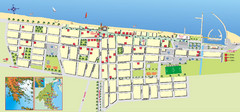
Paralia Tourist Map
Tourist map of Paralia, Greece. Shows hotel locations. Insets show location in Greece.
267 miles away
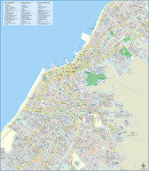
Patra Tourist Map
Tourist map of central Patra, Greece. Shows points of interest.
269 miles away
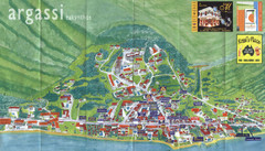
Argassi Tourist Map
Tourist map of Argassi, Zakynthos Island, Greece. Shows all businesses. Scanned.
278 miles away
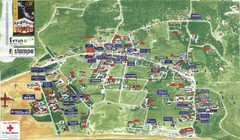
Kalamaki Zakynthos Tourist Map
Tourist map of town of Kalamaki on Zakynthos Island. Scanned.
278 miles away
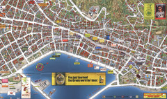
Zakynthos Town Map
Detailed tourist map of Zakynthos Town, Zakynthos Island, Greece. Shows businesses.
280 miles away
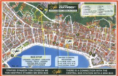
Zakynthos City Tourist Map
Tourist map of Zakynthos city on Zakynthos Island. Shows major points of interest and bus routes...
280 miles away
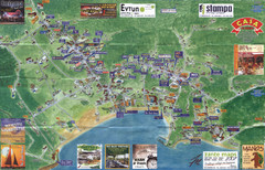
Tsilivi Tourist Map
Tourist map of town of Tsilivi, Zakynthos Island, Greece. Shows businesses. Scanned
282 miles away
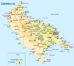
Zakinthos Tourist Map
Tourist map of island of Zakinthos, Greece. Shows symbols for tourist activities.
283 miles away
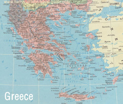
Big Greece Map
283 miles away
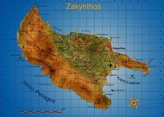
Zakynthos Tourist Map
Tourist map of island of Zakynthos, Greece. Shows points of interest. Scanned.
285 miles away
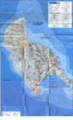
Zakynthos Island Map
Detailed map of Zakynthos Island. Scanned
285 miles away
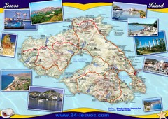
Lesvos (Lesbos) Tourist Map
Tourist map of island of Lesbos (Lesvos), Greece. In English and Greek. Shows points of interest...
286 miles away
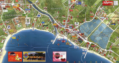
Alykanas and Alykes Map
Tourist map of Alykanas and Alykes, Zakynthos Island, Greece. Shows businesses.
288 miles away
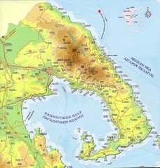
Pelion Tourist Map
Tourist map of Pelion region of Greece including city of Volos. Shows points of interest. Scanned.
297 miles away
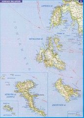
Ionian Islands Map
Overview map of the Greek Ionian Islands including Lefkada, Kefalonia, Zakynthos, Corfu, and Paxo...
303 miles away
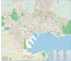
Volos Tourist Map
Tourist map of Volos, Greece. Shows points of interest and some conference info.
303 miles away
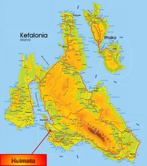
Kefalonia Map
311 miles away
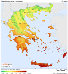
Solar Radiation Map of Greece
Solar Radiation Map Based on high resolution Solar Radiation Database: SolarGIS. On the Solar Map...
312 miles away
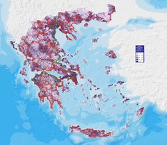
Greece Population Density Map
Shows population density of Greece. Inhabitants per square kilometer.
312 miles away
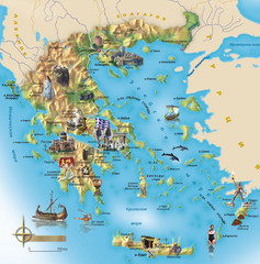
Greece Tourist Map
Stylized tourist map of Greece showing ancient points of interest. In Russian.
312 miles away
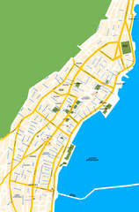
Argostoli City Map
Simple street map of island city of Argostoli, Kefalonia, Greece. Some points of interest shown.
314 miles away
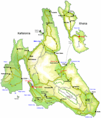
Kefalonia and Ithaka Overview Map
Overview map of the islands of Kefalonia and Ithaka (Ithaki), Greece.
314 miles away
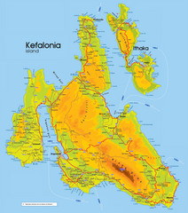
Kefalonia and Ithaka Map
Detailed elevation map of islands of Kefalonia and Ithaka (Ithaki), Greece
315 miles away
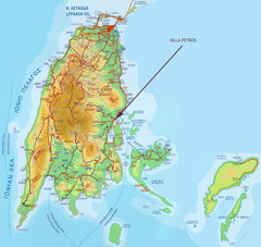
Lefkada Tourist Map
Tourist map of island of Lefkada, Greece.
333 miles away


