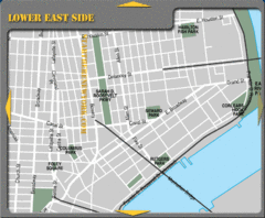
Lower Eastside New York City Hotel Map
0 miles away
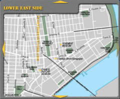
Lower Eastside New York City Tourist Map
less than 1 mile away
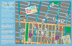
Deli Magazine's Lower East Side Music venues...
less than 1 mile away
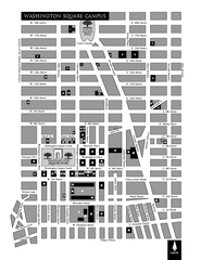
New York University Map
Campus map of New York University. All buildings included.
less than 1 mile away
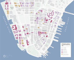
Lower Manhattan Map
less than 1 mile away
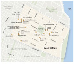
East Village walking tour map
Walking tour of the East Village in New York City, showing points of interest.
less than 1 mile away
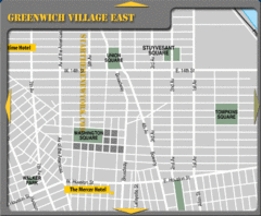
Greenhich Village New York City Hotel Map
less than 1 mile away
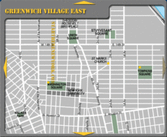
East Greenwich Village New York City Tourist Map
less than 1 mile away

Downtown Manhattan Tourist Map
Detailed tourist map of Downtown Manhattan showing points of interest and modes of transportation
less than 1 mile away
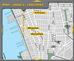
Chinatown New York City Hotel Map
less than 1 mile away

Manhattan Bus Map
1 mile away
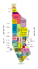
New York Neighborhoods Map
1 mile away
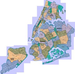
New York: A City of Neighborhoods Map
This is a map of NYC's Community Districts and neighborhoods. This map is pasted together from...
1 mile away

Sanitary & Topographical Map of the City and...
The 1865 Viele Map of Manhattan is still used today to locate springs and streams that have long...
1 mile away
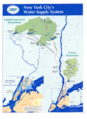
New York City's Water Supply System Map
Map of the reservoirs, aqueducts, and tunnels that supply water to NYC.
1 mile away
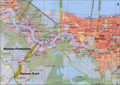
New Orleans Tourist Map
1 mile away
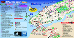
New York City Bus Tour Map
1 mile away
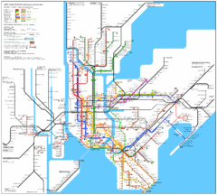
New York City Subway Map
1 mile away
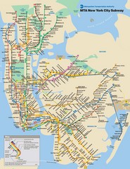
New York City Public Transportation Map
1 mile away
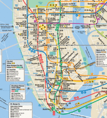
New York City Subway Map
1 mile away
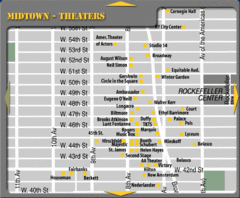
Broadway Theatre New York City Map
1 mile away
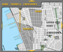
Chinatown New York City Tourist Map
1 mile away
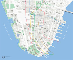
Lower Manhattan Map
1 mile away
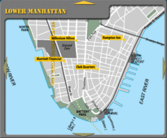
Lower Manhattan New York City Hotel Map
1 mile away
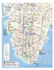
Lower Manhattan Public Transportation Map
Official MTA map of subway, bus, and ferry routes in Lower Manhattan.
1 mile away
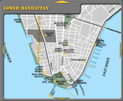
Lowe Manhattan New York City Tourist Map
1 mile away

Battery Park City Map
1 mile away
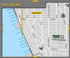
West Village New York City Hotel Map
1 mile away
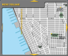
West Village New York City Tourist Map
2 miles away
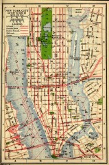
Antique map of Manhattan from 1916
"New York City Battery to 110th Street" from Rider's New York City, Henry Holt and...
2 miles away
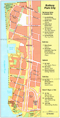
Battery Park City Map
City map of Battery Park City, an area of Manhattan, with art highlighted
2 miles away
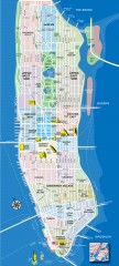
Manhattan Tourist Map
Tourist map of Manhattan, showing Museums, buildings of interest, and various neighborhoods.
2 miles away
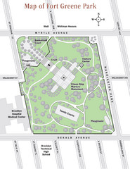
Fort Greene Park Map
Overview map of Fort Greene Park. Shows the park's historic structures and recreational...
2 miles away
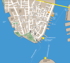
Lower Manhattan Area Map
2 miles away

Manhattan Neighborhood map
Excellent New York City neighborhood map created by graphic designer Alexander Cheek
2 miles away
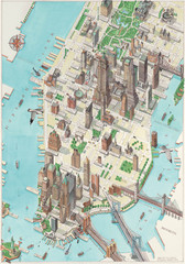
Manhattan New York Map
Aerial map of New York illustrated by UK illustrator Katherine Baxter.
2 miles away
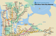
New York City Subway Map
Official MTA map of the NYC subway system... note not drawn to scale.
2 miles away
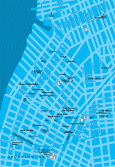
Williamsburg Art Gallery map
Map of Williamsburg and Greenpoint art galleries in Brooklyn, New York. Shows subway stops as well.
2 miles away
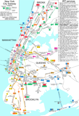
New York City Subway Map
Map of NYC subway transit system and stops
2 miles away
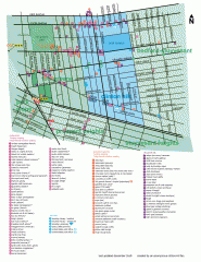
Clinton Hill Neighborhood map
Business and transportation map of the Clinton Hill neighborhood in Brooklyn, New York.
2 miles away

