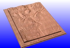
Durango, Colorado carved by CarvedMaps.com Map
Wooden map of Durango carved by Tom Justin at CarvedMaps.com. CarvedMaps.com does a beautiful...
757 miles away
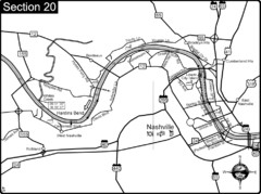
Nashville, TN-Cumberland River Map
The Cumberland River is an important waterway to the city of Nashville. Nashville is also a great...
757 miles away
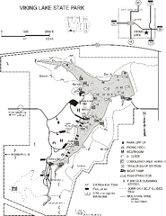
Viking Lake State Park Map
Map of trails, lake depths, fishing spots and park facilities in Viking Lake State Park.
757 miles away
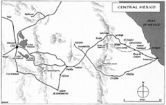
Invasion of Veracruz to Mexico City Historical Map
758 miles away
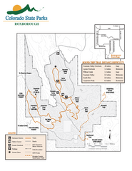
Roxborough State Park Map
Map of park with detail of recreation zones
758 miles away

Carlyle Lake, Illinois Site Map
758 miles away
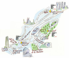
Santa Fe shopping area Map
Map created for Vogue's Fashion's Night Out in Mexico City, The map shows locations of...
759 miles away
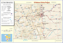
Colorado Cities Map
759 miles away

Little River Canyon Tourist Map
Little River Canyon, Alabama
760 miles away
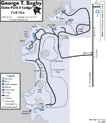
George T. Bagby State Park Map
Map of park with detail of trails and recreation zones
760 miles away
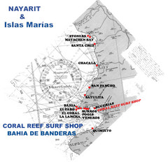
Nayarit Surf Map
Surf map of the state of Nayarit
760 miles away
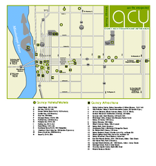
Downtown Quincy, Illinois Map
Tourist map of downtown Quincy, Illinois, showing lodging opportunities, visitors centers, museums...
760 miles away
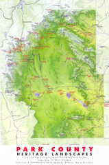
Park County Heritage Map
Shaded relief map of Park County, Colorado shows heritage landscapes, mountains, and
761 miles away
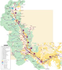
Central Colorado Fishing Guide Map
761 miles away

Route of Cortez Map
761 miles away
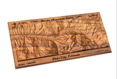
Lake City, CO carved by carvedmaps.com Map
Lake City, CO map carved by carvedmaps.com
761 miles away
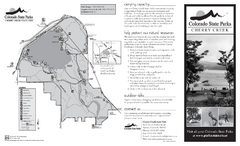
Cherry Creek State Park Map
Map of park with detail of recreation ares
762 miles away
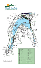
Chatfield State Park map
Detailed recreation map for Chatfield State Park in Colorado
763 miles away
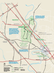
Stones River National Battlefield Official Map
Official NPS map of Stones River National Battlefield in Virginia. 8 AM to 5 PM Daily Pedestrians...
763 miles away
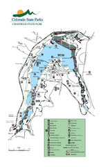
Chatfield State Park Map
Map of park with detail of recreation areas
763 miles away
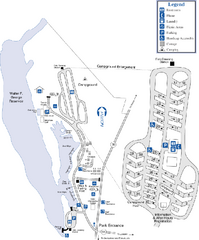
Florence Marina State Park Map
Map of park with detail of trails and recreation zones
764 miles away
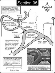
Mount Vernon, IN Wabash River & Ohio River Map
This is a page from the Wabash River Guidebook. The map shows important information for boaters and...
764 miles away
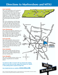
Middle Tennessee State University Map
Middle Tennessee State University Campus Map. All buildings shown.
764 miles away
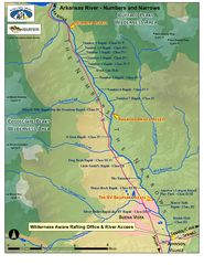
Arkansas River Numbers and Narrows Rafting Map
Rafting map of the Numbers and Narrows rapids sections of the Arkansas River near Buena Vista...
765 miles away
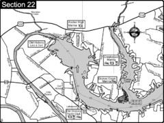
Old Hickory Lake-Cumberland River Map
Section 22 from the Cumberland River Guidebook shows the dam that forms Old Hickory Lake near...
765 miles away
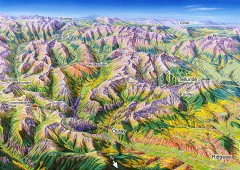
Ouray, Colorado area map
Regional artistic aerial view of the Ouray area and surrounding San Juan Mountains. Shows...
766 miles away
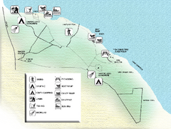
Three Rivers State Park Map
Map of park with detail of recreation zones
766 miles away
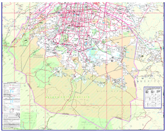
Mexico City (Distrito Federal) Map - South
Detailed street map of the south part of Mexico City (Distrito Federal). In Spanish.
766 miles away
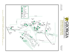
Kolomoki Mounds State Park Map
Map of park with detail of trails and recreation zones
767 miles away
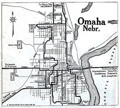
Omaha Nebraska 1920 Map
767 miles away
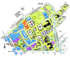
University of Colorado Denver Map
768 miles away
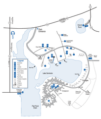
Seminole State Park Map
Map of park with detail of trails and recreation zones
769 miles away
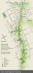
Sand Creek Regional Greenway Map
While the Sand Creek Regional Greenway trail is now usable, the Greenway will be under construction...
769 miles away
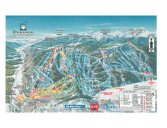
Durango Mountain Ski Trail Map
Official ski trail map of Durango Mountain Resort (formerly Purgatory) from 2003
769 miles away
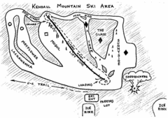
Kendall Mountain Ski Trail Map
Trail map from Kendall Mountain, which provides downhill and nordic skiing. It has 1 lift servicing...
770 miles away
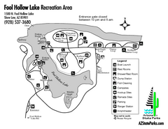
Fool Hollow Lake Recreation Area Map
Map of recreation area with detail of trails and recreation zones
770 miles away
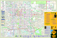
Denver Bike Map - Front
Shows all bike routes in the Denver metro area. This is the Front side of a 2-sided map.
770 miles away
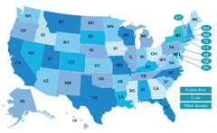
USA States Map
771 miles away
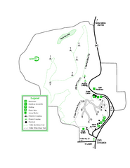
Providence Canyon State Park Map
Map of park with detail of trails and recreation zones
771 miles away
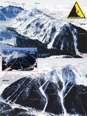
Silverton Ski Trail Map
Ski trail map of Silverton Mountain in Silverton, Colorado. Lift-serviced backcountry conditions...
771 miles away

