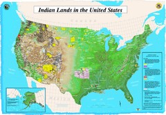
Indian Lands Map
Map of Indian Lands throughout the US
708 miles away
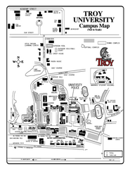
Troy University Map
Campus map of Troy University Troy campus. All areas shown.
708 miles away
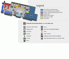
Huntsville International Airport Map
Official Map of Huntsville International Airport in Wisconsin. Shows all terminals and facilities.
710 miles away
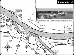
Ohio River & Tennessee River at Paducah, KY...
This is a page from the Ohio River Guidebook. The map shows important information for boaters and...
710 miles away

Weldon Springs State Park, Illinois Site Map
711 miles away
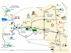
San Luis Valley Tourist Map
Tourist map of San Luis Valley, Colorado area. Shows attractions.
711 miles away
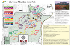
Cheyenne Mountain State Park Map
Trail map of park
711 miles away
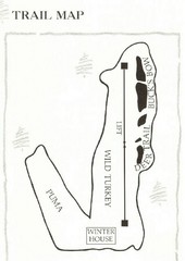
Ski Broadmoor Ski Trail Map
Trail map from Ski Broadmoor. This ski area opened in 1960’s.
712 miles away
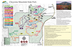
Cheyenne Mountain State Park trail map
Trail map for Cheyenne Mountain State Park in Colorado.
712 miles away
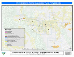
Arkansas River Planning and Zoning Map
General locations along the Arkansas River
712 miles away
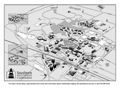
Southern Illinois University Carbondale Map
Campus Map of the Southern Illinois University Carbondale. All buildings shown.
712 miles away
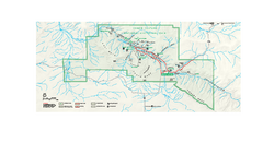
Chaco Culture National Historical Park Official...
Official NPS map of Chaco Culture National Historical Park in New Mexico. The park is open...
712 miles away
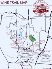
Shawnee Hills Wine Trail Map
Wineries in the Shawnee Hills area of Illinois.
713 miles away
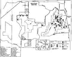
Ferne Clyffe State Park, Illinois Site Map
713 miles away
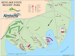
KenLake State Resort Park Map
Map of trails, facilities, and golf course for the KenLake State Resort Park located on the mid...
714 miles away
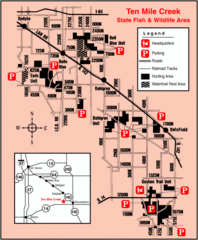
Ten Mile Creek State Wildlife Area, Illinois Site...
716 miles away

Colorado Springs, Colorado City Map
716 miles away
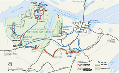
Fort Donelson National Battlefield Official Map
Official NPS map of Fort Donelson National Battlefield in Tennessee. Fort Donelson visitor center...
716 miles away
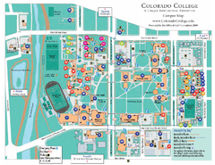
Colorado College Map
717 miles away
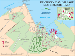
Kentucky Dam Village State Resort Park Map
Map of golf course and facilities for Kentucky Dam Village State Resort Park, one of three state...
718 miles away
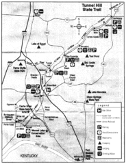
Tunnel Hill State Trail, Illinois Site Map
718 miles away

Wolf Creek Ski Trail Map
Official ski trail map of Wolf Creek ski area
718 miles away
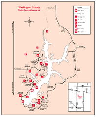
Washington County State Recreational Area...
718 miles away
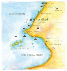
Costa Azul, Mexico Beach Map
719 miles away

Wolf Creek Ski Area Ski Trail Map
Trail map from Wolf Creek Ski Area, which provides downhill and nordic skiing. It has 7 lifts...
719 miles away

University of Colorado at Colorado Springs Map
719 miles away
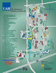
University of Alabama in Huntsville Map
Campus Map
719 miles away
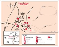
Dixon Springs State Park, Illinois Site Map
719 miles away
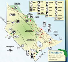
St. Andrews State Park Map
Overview map of St. Andrews State Park, #2 beach in America by TripAdvisor.com, 2008
720 miles away
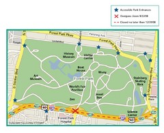
Forest Park, St. Louis Map
720 miles away
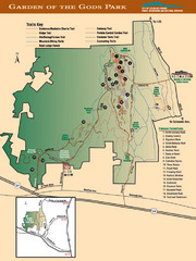
Garden of the Gods Park Map
720 miles away
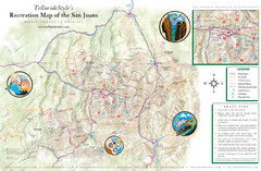
San Juan Mountains Trail Map
720 miles away
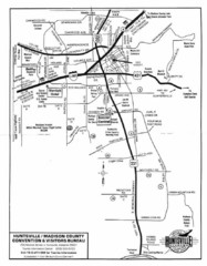
Huntsville City Map
City map of Huntsville, Alabama
720 miles away
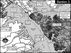
Kentucky Lake Tennesssee River-Land Between the...
This is the upper end of Kentucky Lake which is the Tennessee River. The map is designed for...
720 miles away
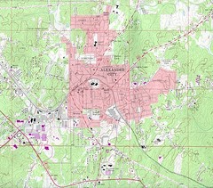
Alexander City Map
Topography city map of Alexander City, Alabama
721 miles away
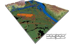
DEM SAUGET INDUSTRIAL PARK Map
OVERLAY OF TRIMBLE GPS VECTOR DATA OF SAUGET INDUSTRIAL PARK ONTO PAINTED DEM USING RGB COLOR MODEL...
721 miles away
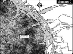
Lake Barkley-Cumberland River Map
Portion of Lake Barkley formed on the Cumberland River. In this section the state line is shown...
721 miles away
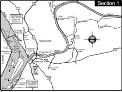
Smithland, KY Cumberland & Ohio Rivers Map
This is the mouth (end) of the Cumberland River as it pours into the Ohio River after flowing 695...
721 miles away
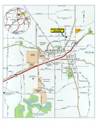
Huntsville, Alabama City Map
721 miles away
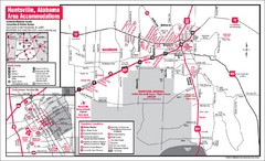
Huntsville Alabama Tourist Map
Map of Huntsville, Alabama showing hotels and streets for the downtown area.
721 miles away

