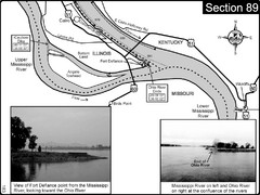
Ohio River at Cairo, IL and the Mississippi River...
The Ohio River ends at it's confluence with the Mississippi River at mile 981. This is a page...
681 miles away
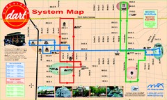
UAB and Area 5 Dart Sysetm Map
681 miles away
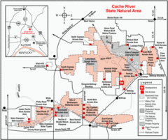
Cache River, Illinois Site Map
682 miles away
Lake Pueblo State Park Map
Map of park with detail of recreation zones
682 miles away
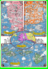
A MAD Pictorial Map of the United States - Back...
I found these raw assembled scans in a dieing torrent in 2010. Hash code...
682 miles away
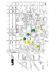
University of Alabama at Birmingham Map
University of Alabama at Birmingham Campus Map. All buildings shown.
682 miles away

Brookwood Medical Center Map
683 miles away
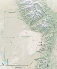
Great Sand Dunes National Park and Preserve map
Official NPS map of Great Sand Dunes National Park and Preserve. Park includes the tallest dune in...
684 miles away
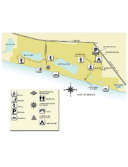
Topsail Hill Preserve State Park Map
Map of park with detail of recreation zones
685 miles away
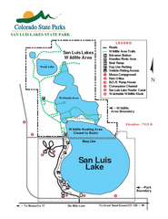
San Luis State Park Map
Map of park with detail of recreation zones
687 miles away
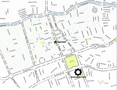
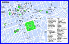
Queretaro City Map
City map of Queretaro with places of interest
688 miles away
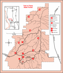
Trail of Tears State Park, Illinois Map
689 miles away
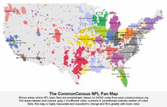
NFL Fan Bases Map
Shows US fan bases of NFL teams
692 miles away
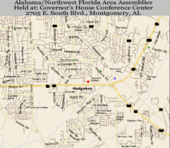
Montgomery, Alabama City Map
693 miles away
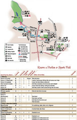
City of Festus Parks Map
694 miles away
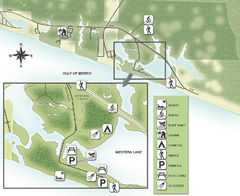
Grayton Beach State Park Map
Map of park with detail of trails and recreation zones
694 miles away
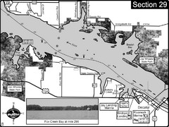
Decatur, AL Tennessee River/Wheeler Lake Map
For boating navigational information and river road travel along the Tennessee River. This section...
694 miles away
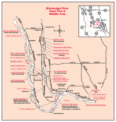
Mississippi River, Illinois Site Map
694 miles away
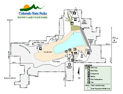
Bonny Lake State Park Map
Map of park with detail of recreation areas
694 miles away
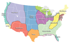
Regions of the United States Map
Appalachia- Hills, hills and more hills. Appalachian landforms contribute to landscapes of...
695 miles away
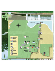
Eden Gardens State Park Map
Map of park with detail of gardens
696 miles away
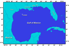
Gulf of Mexico Map
696 miles away
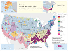
Census 2000 Data Top US Ancestries by County Map
Guide to Ancestries in the US
696 miles away
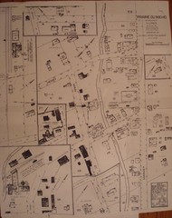
Prairie du Rocher City Map
Historical city map of Prairie du Rocher, Illinois
697 miles away
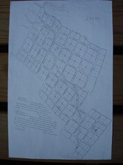
Prairie du Rocher City Map
Historical city map of Prairie du Rocher
697 miles away
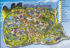
Six Flags St. Louis Map
Official Park Map of Six Flags St. Louis.
701 miles away
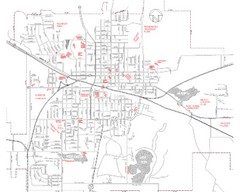
Mexico Missouri Street Map
City street map of Mexico, Missouri
702 miles away

Hidden Valley Ski Trail Map
Official ski trail map of Hidden Valley ski area
702 miles away

Hidden Valley Ski Trail Map
Trail map from Hidden Valley.
702 miles away

Piney Creek Ravine, Illinois Site Map
702 miles away
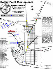
Rocky Point, New Mexico Tourist Map
703 miles away
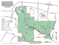
Map of Rockwoods Reservation, MO
Natural Area and hiking trails near St. Louis, MO.
703 miles away
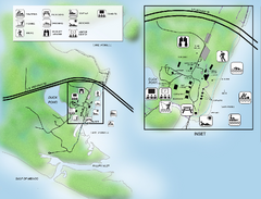
Camp Helen State Park Map
Map of park with detail of various recreation zones
704 miles away
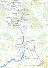
Salem Backroads Century Course Map
Route map for Salem Backroads Century bike race.
704 miles away
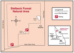
Sielbeck Forest, Illinois Site Map
705 miles away
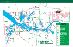
Wheeler National Wildlife Refuge Map
Map of Wheeler National Wildlife Refuge. Includes all roads, hiking trails, camp grounds and...
706 miles away
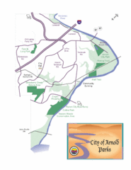
City of Arnold Parks Map
706 miles away
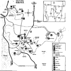
Giant City, Illinois Site Map
707 miles away

Randolph County State Park, Illinois Site Map
708 miles away

