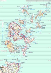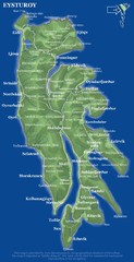
Eysturoy island Map
488 miles away
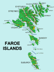
Faroe Islands Map
Overview map of the Faroe Islands.
494 miles away
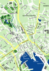
Downtown Torshavn Map
Street map of downtown Torshavn
495 miles away
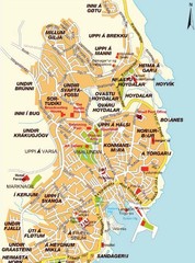
Torshavn city Map
495 miles away
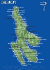
Bordoy island Map
496 miles away
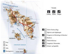
Sandoy Island Tourist Map
Tourist map of Sandoy, Faroe Islands. Shows ferry and bus stops and 7 hikes rated by difficulty
501 miles away
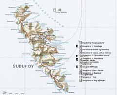
Suðuroy Tourist Map
Tourist map of Suduroy, Faroe Islands.
508 miles away

Jan Mayen island Map
591 miles away
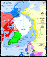
Arctic Circle Map
660 miles away
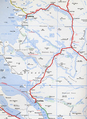
Elphin Map
701 miles away
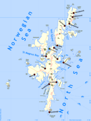
Shetland Islands Tourist Map
711 miles away
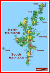
Shetland Islands Tourist Map
711 miles away
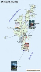
Shetland Islands Tourist Map
711 miles away
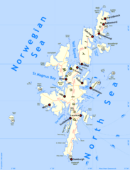
Shetland Islands Map
711 miles away
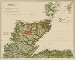
Sutherland Historical Map
Map of Sutherland and Caithness in Saga-Time
711 miles away
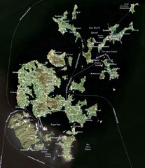
Orkney Islands Map
Guide to the Orkney Islands, northern most islands of the United Kingdom
715 miles away
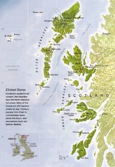
Hebrides Islands Map
716 miles away
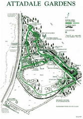
Attadale Gardens Map
Map of beautiful gardens and paths for a relaxing time. 20 acres of conifers and rhododendrons.
722 miles away
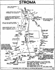
Stroma Tourist Map
724 miles away
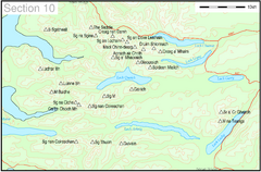
Munro Colour Contour Map Sec10
The list of hills and the grid references are from Wikipedia. The coastline is derived from data...
743 miles away
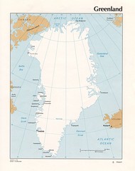
Greenland Tourist Map
743 miles away
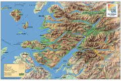
Fort William Area Shaded Relief Map
Shaded relief map of the Fort William, Lochaber, Scotland area. Shows roads, peaks, and vegetation...
747 miles away
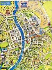
Inverness City Map
Pictorial map of Inverness
750 miles away
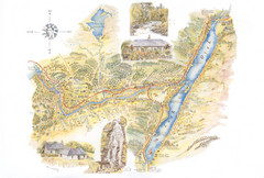
Invergarry Tourist Map
Tourist map of Invergarry, Scotland
755 miles away

Isle of Bute Guide Map
758 miles away
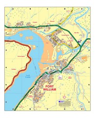
Fort William, Scotland Map
Map shows Fort William including all streets, train tracks, rivers, and streams.
760 miles away
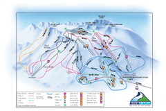
Nevis Range Ski Trail Map
Trail map from Nevis Range.
763 miles away
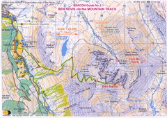
Ben Nevis Trail map
Map of the mountain track to the summit of Ben Nevis, the highest mountain in Scotland and the...
764 miles away
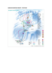
Glen Coe Ski Trail Map
Trail map from Glen Coe.
774 miles away
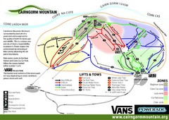
Cairn Gorm Ski Trail Map
Trail map from Cairn Gorm.
775 miles away
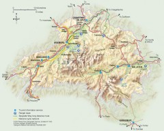
Cairngorms National Park Map
Official map of Cairngorms National Park, Britain's largest National Park at 3800 sq km. 4 of...
782 miles away
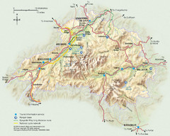
Cairngorms National Park Map
This map shows the boundaries of the Cairngorms National Park, which stretch from Grantown on Spey...
783 miles away
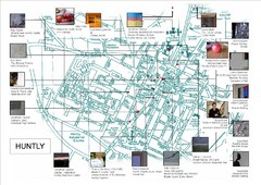
Huntly Town Collection Map
Visual public art in Huntly, Scotland. With photos. From site: "Artists working with Deveron...
789 miles away
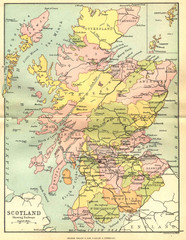
Scotland Counties Map
Map of Scotland and its counties
790 miles away
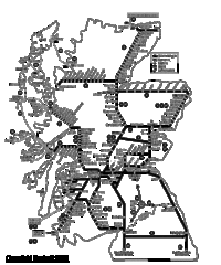
Scotland Rail Map
Guide to rail and ferries in Scotland
790 miles away
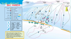
The Lecht Ski Trail Map
Trail map from The Lecht.
794 miles away
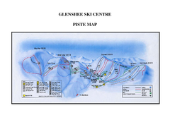
Glenshee Ski Centre Ski Trail Map
Trail map from Glenshee Ski Centre.
795 miles away
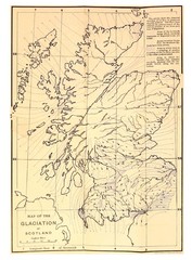
Scotland Glaciation Map
Guide to glacial movement that formed Scotland
795 miles away
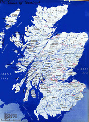
Scotland Clan Map
Guide to clans and prominent families in Scotland
795 miles away

