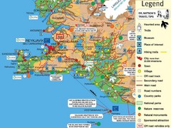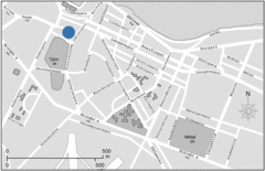
Central Reykjavik, Iceland Tourist Map
less than 1 mile away
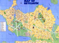
Reykjavik City Map
City map of Reykjavik, Iceland. Scanned, blurry.
less than 1 mile away
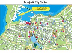
Reykjavik City Centre Tourist Map
less than 1 mile away
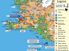
Reykjavik, Iceland Tourist Map
less than 1 mile away
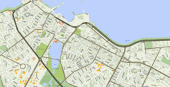
Reykjavik, Iceland Tourist Map
less than 1 mile away
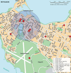
Reykjavik, Iceland Tourist Map
less than 1 mile away
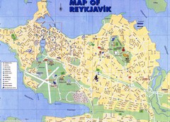
Reykjavik Map
less than 1 mile away
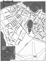
Reykjavik City Map
City map of Reykjavik
less than 1 mile away
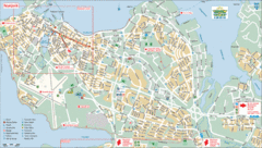
Reykjavik Tourist Map
Tourist map of Reykjavik, Iceland. Shows points of interest.
less than 1 mile away
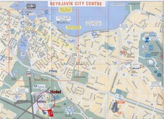
Reykjavik Center Map
less than 1 mile away
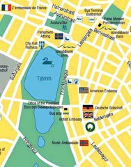
Hijomskalagarour, Iceland Tourist Map
less than 1 mile away
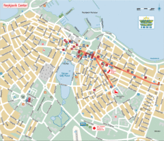
Reykjavik Center Tourist Map
Tourist map of the center of Reykjavik, Iceland. Shows points of interest.
1 mile away
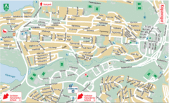
Kópavogur Tourist Map
Tourist map of Kópavogur, Iceland. Shows points of interest.
2 miles away
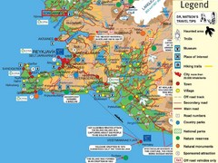
Reykjavik Borgarnes Area Tourist Map
Tourist map of Reykjavik-Borgarnes, Iceland area
7 miles away
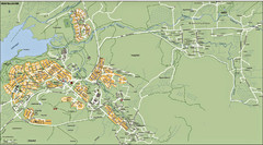
Mosfellsbaer Tourist Map
8 miles away
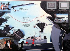
Blue Lagoon Map
24 miles away

Bláfjöll Ski Trail Map
Trail map from Bláfjöll.
87 miles away
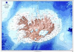
Iceland Physical Map
94 miles away
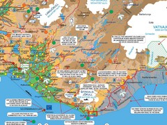
Vik Area Tourist Map
Tourist map of southern portion of Iceland near Vik, Iceland
100 miles away
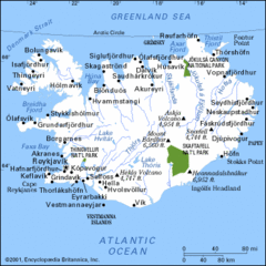
Iceland Hiking Map
103 miles away
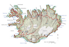
Iceland Tourist Map
103 miles away
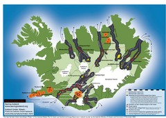
Iceland Dam and Geothermal Impact Map
Shows environmental impact of proposed dams, reservoirs, and geothermal plants in Iceland
103 miles away
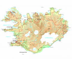
Iceland Physical Relief map
Physical map of Iceland with color-shaded relief.
103 miles away
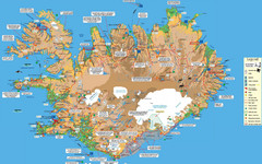
Iceland Tourist Map
Tourist map of entire country of Iceland. Shows museums, places of interest, hiking trails, towns...
114 miles away
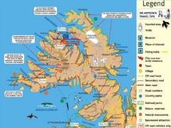
Ísafjördur Peninsula Tourist Map
Tourist map of area around Ísafjördur, Iceland. Contains some of most remote areas of...
119 miles away
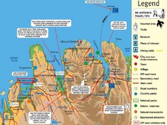
Akureyri Area Tourist Map
138 miles away
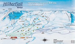
Hlíðarfjall Ski Trail Map
Trail map from Hlíðarfjall.
151 miles away
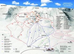
Hlíðarfjall Ski Trail Map
Trail map from Hlíðarfjall.
151 miles away
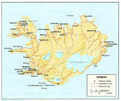
Iceland Map
151 miles away
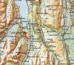
Akureyri area Map
153 miles away
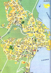
Akureyri City Map
156 miles away
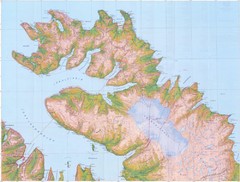
Hornstrandir Topo Map
Topo map of Hornstrandir, Iceland peninsula. Shows a kayak route.
157 miles away
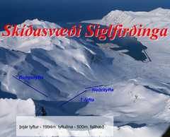
Siglufjordur Ski Trail Map
Trail map from Siglufjordur, which provides downhill and night skiing. This ski area has its own...
161 miles away
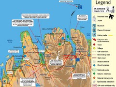
Akureyri Iceland Tourist Map
Tourist map of Northern Iceland showing cities, roads, interesting places and facts.
167 miles away
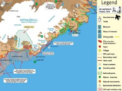
Vatnajökull National Park Map
Home of Iceland's highest mountain 2119m
180 miles away
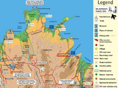
Vopnafjördur Tourist Map
Tourist map of the area around Vopnafjördur, Iceland
230 miles away
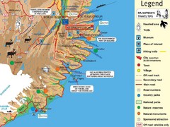
Neskaupstadur Area Tourist Map
Tourist map of eastern Iceland area near Neskaupstadur.
242 miles away
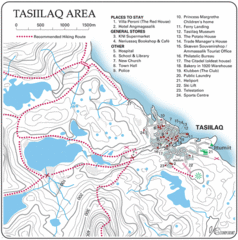
Tasiilaq City Map
Clear map marking facilities and roads.
474 miles away
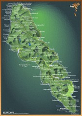
Streymoy Island Map
484 miles away

