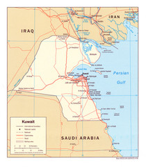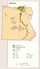
Kuwait water Map
1899 miles away
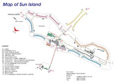
Sun Island Resort Map
Resort map of Sun Island in Nalaguraidhoo, Southern Ari Atoll, Maldives
1901 miles away
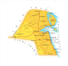
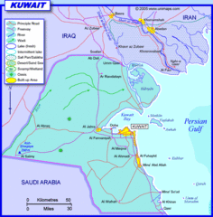
Kuwait Map
1906 miles away
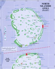
North Nilandu atoll Map
1906 miles away
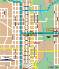
Bulawayo City Tourist Map
Map of city center with detail of streets and hotels
1910 miles away
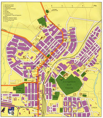
Livingstone Zambia Tourist Map
Livingstone city, ZambiaTourist Map.
1913 miles away
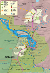
Victoria Falls and vicinity Map
1915 miles away
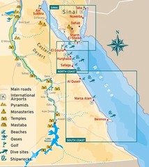
Eastern Egypt Tourist Map
1916 miles away
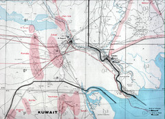
Kuwait frontier with Iran Map
1925 miles away

Baa atoll Map
1928 miles away
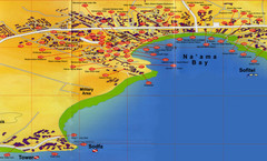
Na'ama Bay Hotel Map
1928 miles away
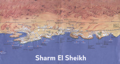
Sharm El Sheikh Coastal Map
Landmarks, hotels and areas in Sharm El Sheikh
1929 miles away
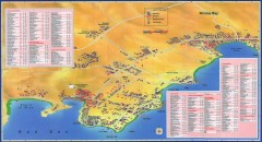
Na'ama Bay, Egypt Tourist Map
Tourist map of Na'ama Bay and Sharm el Sheikh Egypt. Show hotels, restaurants, bars, banks...
1929 miles away
Maldives Map
Detailed map of the Maldive Islands
1930 miles away

Maldives Islands Map
1932 miles away
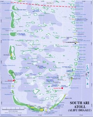
South Ari Atoll Map
1935 miles away
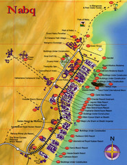
Nabq Bay Tourist Map
1937 miles away

Maldives Overview Map
Overview map of the Maldives Islands in the Indian Ocean. Shows all atolls, towns/cities with...
1937 miles away
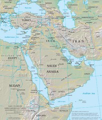
Middle East Physical Map
Physical map of the Middle East with shaded relief.
1941 miles away

Rodrigues Island with Cap Soleil Agency Map
1943 miles away
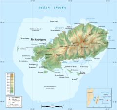
Rodrigues Island Topo Map
Island topographic map of Rodrigues Island. In French.
1943 miles away
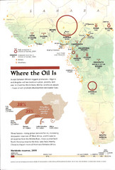
Sub-Saharan Africa Oil Map
Shows major oil producing countries in Sub-Saharan Africa. Biggest two countries are Nigeria and...
1946 miles away
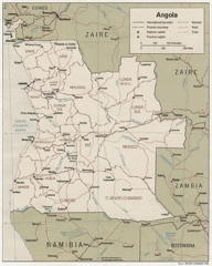
Angola Political Map
Guide to regions of the country of Angola
1949 miles away
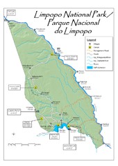
Limpopo National Park Map
1950 miles away
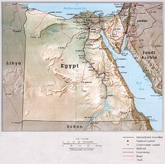
Egypt Map
Map of Egypt in northern Africa. Includes highways, cities, towns, waterways and surrounding...
1951 miles away
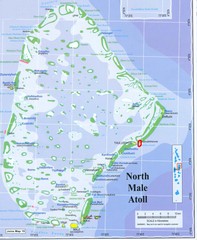
North Male Atoll Map
1953 miles away
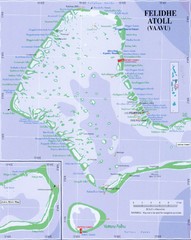
Felidhe atoll Map
1953 miles away
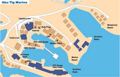
Abu Tig Marina Map
Simple and clear map of the Abu Tig marina.
1963 miles away
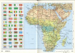
Africa Flag Map
Physical map of Africa with flag legend for all countries. Scanned.
1963 miles away
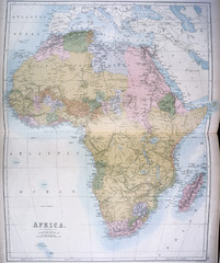
Africa Map 1885
Shows Africa with pre-colonial boundaries demarcated at the Berlin Conference of 1885.
1963 miles away
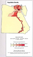
Egypt Population Density Map
Map of Egypt's population density
1966 miles away
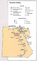
Egypt Economic Activity Map
Map of Egypt's economic activity
1966 miles away
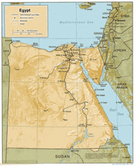
Egypt Country Map
1966 miles away
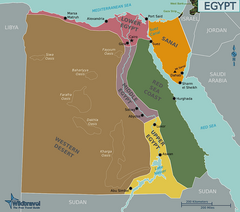
Egypt Regions Map
1966 miles away

Draft Elevation Map Nile Delta
Draft Elevation Map Nile Delta with contour lines
1966 miles away
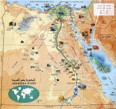
Egypt Tourist Map
Shows major Egyptian tourist sites
1966 miles away
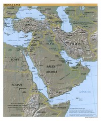
Middle East Reference Map
Reference map of Middle East with shaded relief
1978 miles away
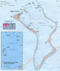
British Indian Ocean Territory Map
Guide to the atolls that comprise the British Indian Ocean Territory or the Chagos Islands
1982 miles away

