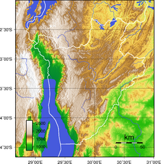
Burundi Topography Map
Color-coded physical relief map of country of Burundi
1127 miles away
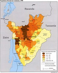
Burundi Population Density Map
Map of Burundi's population density by commune
1129 miles away
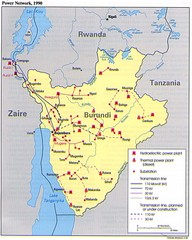
Burundi Power Plant Map
Map marking hydroelectric and thermal power plants, plus transmission lines.
1129 miles away
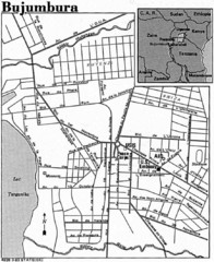
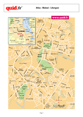
Burundi City Map
Simple city map labeling road systems.
1129 miles away
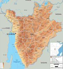
Burundi Physical Map
1131 miles away
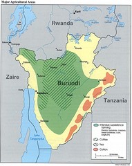
Burundi Agricultural Map
Map of Burundi's major agricultural areas
1132 miles away
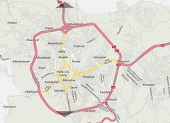
Abha City Map
1135 miles away
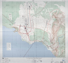
Goma Map
Goma, Democratic Republic of the Congo • original scale 1:7,500, Edition 3-DMA, Series Z091.
1142 miles away
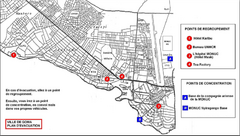
City of Goma Evacuation Plan, late 2007 Map
Map of Goma indicating evacuation points for Congolese government push against rebel groups (mostly...
1142 miles away
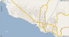
Goma, Congo street map
Street map of eastern Congo–Kinshasha city of Gome, near the Rwanda border. Produced by...
1142 miles away

Lake Malawi Map
1154 miles away
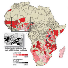
African distrust and the slave trade Map
1165 miles away
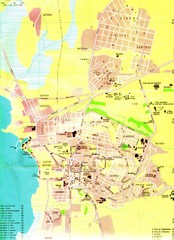
Bujumbura City Map
1165 miles away
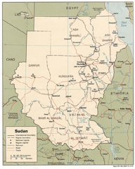
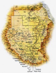
Sudan Map
Railroads, tracks, cities and borders are are marked on this clear map and legend.
1227 miles away
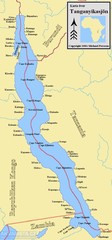
Lake Tanganyika Map
Deepest Lake in Africa at 4823 ft.
1229 miles away
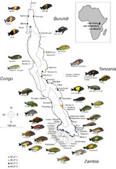
Fish of Lake Tanganyika Map
1232 miles away
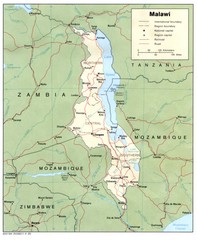
Malawi Map
Guide to Malawi, a country in Africa
1250 miles away
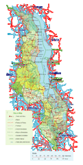
Malawi Overview Map
Overview of country of Malawi on Lake Malawi. Shows roads and rivers.
1253 miles away
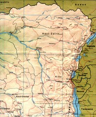
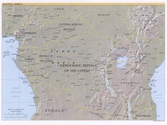
Zaire (Eastern Region) Map
Eastern Zaire (now Democratic Republic of the Congo)
1260 miles away
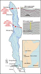
Lake Malawi Bathemetric Map
1266 miles away
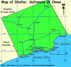
Dhofar region Oman Map
1267 miles away
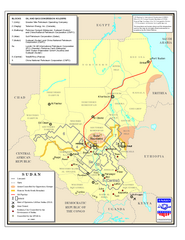
Sudan Oil and Gas Map
Map of Sudan's oil and gas concession holders
1276 miles away
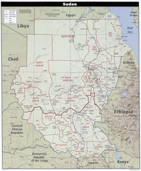
Sudan Map
Clear map of this amazing African nation.
1276 miles away
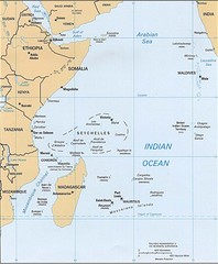
Indian Ocean Islands Map
Guide to the islands and atolls of the Indian Ocean
1282 miles away

Canyon Reef Map
Dving map of Canyon Reef, Farasan Banks, Saudi Arabia. Farasan Banks is an extensive shoal of...
1286 miles away
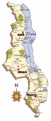
Malawi Map
1301 miles away
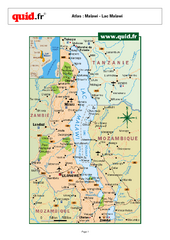
Lake Malawi Map
Map of Lake Malawi and surrounding region
1325 miles away
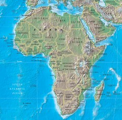
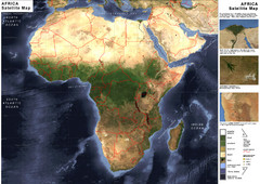
Physical Africa Map
1328 miles away

Malaria Risk Map
Shows global malaria risk for all regions: stable, unstable, and malaria free
1339 miles away

Red Sea Topography Map
1342 miles away
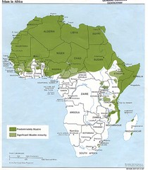
Islam in Africa Map
Map of Islamic population densities throughout Africa
1347 miles away
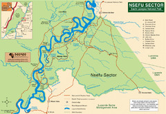
Nsfeu Sector South Luangwa National Park Map
1382 miles away
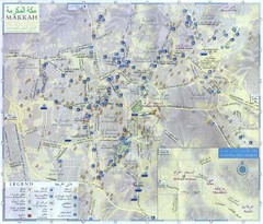
Makkah City Map
City map of Makkah with information and attractions
1391 miles away
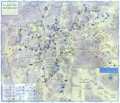
Mecca City Map
City map of Muslim holy city of Mecca, Saudi Arabia (Al Makkah). Shows mosques and other points of...
1391 miles away

Mfuwe Area South Luangwe National Park Map
1396 miles away

