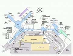
Spokane International Airport Terminal Map
Official Map of Spokane International Airport in Washington state. Shows all terminals.
290 miles away
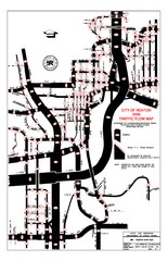
Renton WA Traffic Flow Map
City of Renton, WA traffic flow map
290 miles away
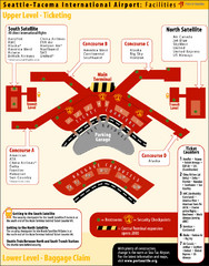
SeaTac Airport Map
290 miles away
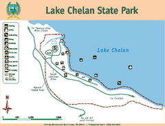
Lake Chelan State Park Map
Map of island with detail of trails and recreation zones
291 miles away
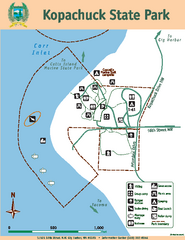
Kopachuck State Park Map
Map of island with detail of trails and recreation zones
291 miles away
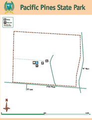
Pacific Pines State Park Map
Map of park with detail of trails and recreation zones
291 miles away
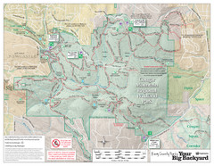
Cougar Mountain Park Trail Map
Trail map of Cougar Mountain Regional Wildland Park, part of the "Issaquah Alps"
291 miles away
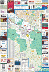
Issaquah tourist map
Issaquah, Washington tourist map. Shows all businesses.
291 miles away
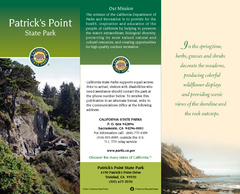
Patrick's Point State Park Map
Map of park with detail of trails and recreation zones
291 miles away
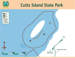
Cutts Island Stay Park Map
Map of park with detail of trails and recreation zones
292 miles away
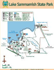
Lake Sammamish State Park Map
Map of island with detail of trails and recreation zones
292 miles away
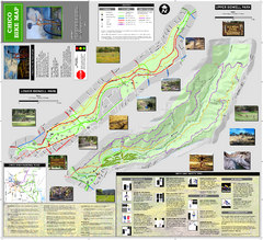
Upper and Lower Bidwell Park Bike Map
Bike map of Upper Bidwell Park and Lower Bidwell Park in Chico, California
292 miles away
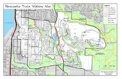
Newcastle Trails Trail Map
Trail map of existing and proposed trails in Newcastle, WA
292 miles away
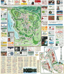
Sammamish tourist map
Sammamish, Washington tourist map. Shows all businesses.
294 miles away
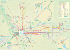
Spokane Guide Map
Roads and areas in and around Spokane, Washington
294 miles away
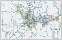
Spokane, Washington Bike Map
294 miles away
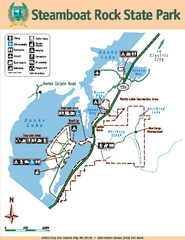
Steamboat Rock State Park Map
Map of park with detail of trails and recreation zones
294 miles away
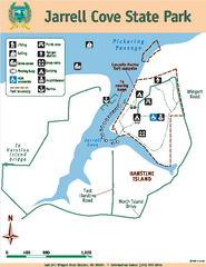
Jarrell Cove State Park Map
Map of park with detail of trails and recreation zones
295 miles away

Chico, California City Map
295 miles away
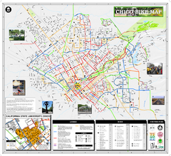
Chico Bike Map
Bicycle route map of Chico, California
295 miles away
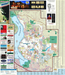
Sammamish tourist map
Tourist map of Sammamish, Washington. Shows all businesses.
295 miles away
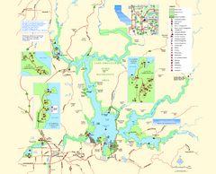
Lake Oroville State Recreation Area Map
Map of recreation area with detail of trails and recreation zones
295 miles away
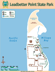
Leadbetter Point State Park Map
Map of park with detail of recreation zones and trails
296 miles away
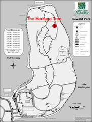
Seward Park Trails Map
Map of the trails in Seward Park, a 300-acre park on a peninsula in the south Seattle, WA area.
296 miles away
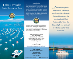
Lake Oroville State Recreation Area Map
Map of recreation area with detail of trails and recreation zones
296 miles away
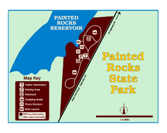
Painted Rocks State Park Map
Located in the scenic Bitterroot Mountains, this 23-acre park offers boating and water sport...
296 miles away
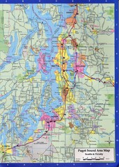
Seattle, Washington City Map
296 miles away
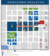
Downtown Bellevue Map
Driving Directions and Downtown Map
297 miles away
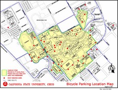
California State University, Chico Bike Parking...
Map that highlights all the available bike parking area and bike routes throughout the campus and...
297 miles away
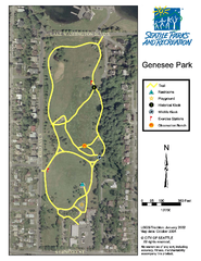
Genesee Park Trail Map
Trail map of Genesee Park in Mt Baker, Seattle, WA
297 miles away
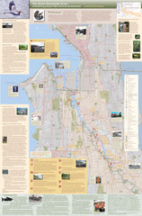
Duwamish River Community Map
This is a printed map, 32" X 40", created for the Duwamish River Cleanup Coalition in...
298 miles away
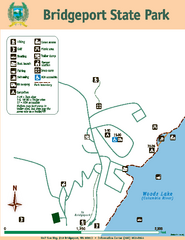
Bridgeport State Park Map
Map of park with detail of trails and recreation zones
298 miles away
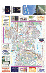
Bellevue tourist map
Tourist map of Bellevue, Washington. Shows all businesses.
298 miles away
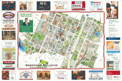
Tourist map of Downtown Bellevue
Tourist map of Downtown Bellevue, Washington. Shows all businesses.
298 miles away
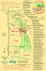
Sammamish Valley Guide Map
299 miles away
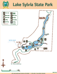
Lake Sylvia State Park Map
Map of island with detail of trails and recreation zones
299 miles away
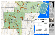
Frink Park and Leschi Park Map
299 miles away
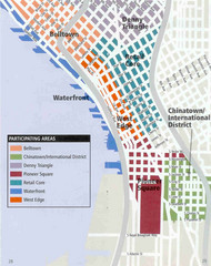
Seattle Neighborhoods Map
Map outlines several neighborhoods in Seattle, Wahsington
300 miles away
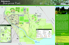
Marymoor Park Map
300 miles away
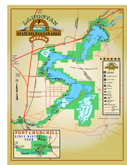
Lahontan State Recreation Area Map
Overview map of Lahontan State Recreation Area. Shows Lahontan Reservoir formed by Lahontan Dam...
300 miles away

