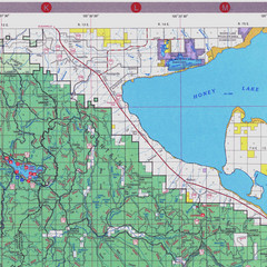
Lassen National Park Map
Forest Visitor Map of the farthest east of the park, shows all camping and recreational areas and...
263 miles away
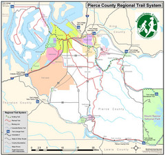
Pierce County Regional Trail Map
County-wide system of trails
263 miles away
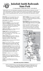
Jedediah Smith Redwoods State Park Campground Map
Map of campground region of park with detail of trails and recreation zones
264 miles away
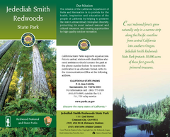
Jedediah Smith Redwoods State Park Map
Map of park with detail of trails and recreation zones
264 miles away
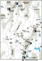
Cross-country Skiing, Elko County, Nevada Map
Map of cross-country skiing opportunities in Elko County, Nevada. Shows skiing locations, roads...
265 miles away
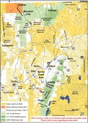
Land Use Map of Elko County, Nevada
Land use map of Elko County, Nevada. Shows lands classified as public or private, and owners of...
265 miles away

Nevada Map
265 miles away
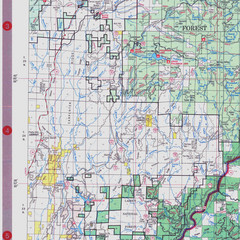
Lassen National Park Map
Visitor Map that shows most of Lassen National Forest with locations of camp grounds and...
265 miles away
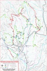
Weaverville Basin Trail System Map
Guide to trails near Weaverville, CA
265 miles away

Weaverville Joss House State Historic Park Map
Map of park with detail of trails and recreation zones
266 miles away
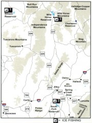
Icefishing Map, Elko County, Nevada
Map of ice fishing locations in Elko County, NV. Shows reservoirs, roads and towns.
266 miles away
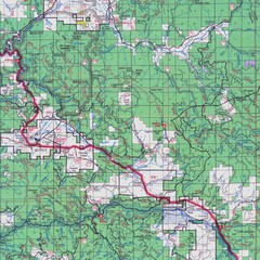
Lassen National Park Map
Forest Visitor Map showing locations of most camping and recreational areas in the eastern part of...
267 miles away
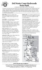
Del Norte Coast Redwoods State Park Campground Map
Map of park with detail of trails and recreation zones
268 miles away
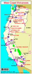
Major West Coast Volcanoes (Washington, Oregon...
268 miles away
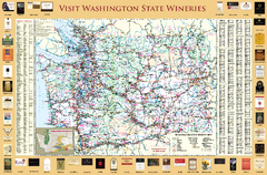
Washington State Winery Map
Washington State Winery Map
269 miles away
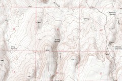
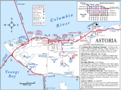
Astoria Oregon Map
A detailed topographic map of Astoria, Oregon and the Columbia River.
269 miles away
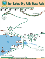
Sun Lakes-Dry Falls State Park Map
Map of park with detail of trails and recreation zones
270 miles away
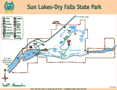
Sun Lakes-Dry Falls State Park Map
Map of park with detail of trails and recreation zones
270 miles away
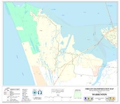
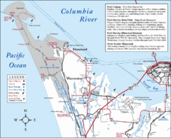
Warrenton Oregon Road Map
271 miles away
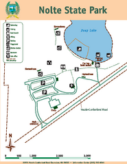
Nolte State Park Map
Map of park with detail of trails and recreation zones
272 miles away
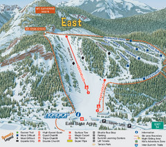
The Summit at Snoqualmie Summit East Ski Trail Map
Trail map from The Summit at Snoqualmie, which provides night and terrain park skiing. It has 30...
272 miles away
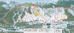
The Summit at Snoqualmie Summit Central Ski Trail...
Trail map from The Summit at Snoqualmie, which provides night and terrain park skiing. It has 30...
272 miles away
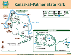
Kanaskat-Palmer State Park Map
Map of park with detail of trails and recreation zones
274 miles away
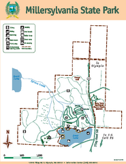
Millersylvania State Park Map
Map of park with detail of trails and recreation zones
275 miles away
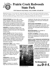
Prairie Creek Redwoods State Park Campground Map
Map of campground region of park with detail of trails and recreation zones
275 miles away
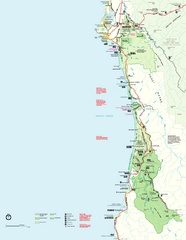
Redwood National Park Map
Official NPS map of Redwood National Park, California. Also shows Jedediah Smith Redwoods State...
276 miles away
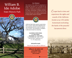
William B. Ide Adobe State Historic Park Map
Map of park with detail of trails and recreation zones
276 miles away
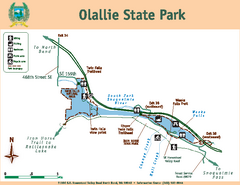
Olallie State Park Map
Map of park with detail of trails and recreation zones
277 miles away
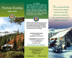
Plumas-Eureka State Park Map
Map of park with detail of trails and recreation zones
278 miles away
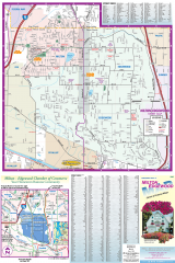
Milton and Edgewood tourist map
Tourist map of Milton and Edgewood, Washington. Shows all businesses.
278 miles away
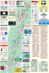
Milton tourist map
Tourist map of Milton, Washington. Shows all businesses.
279 miles away
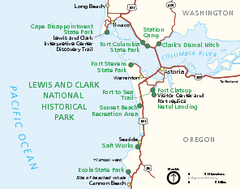
Lewis & Clark National Historic Trail...
Official NPS map of Lewis & Clark National Historic Trail in Oregon-Washington. Shows all areas...
280 miles away
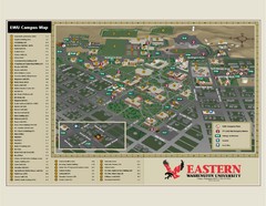
Eastern Washington University Campus Map
Campus map of Eastern Washington University in Cheney, Washington
281 miles away
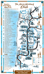
Orick Redwood National Park Map
281 miles away
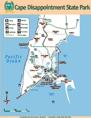
Cape Dissapointment State Park Map
Map of park with detail of trails and recreation zones
281 miles away
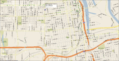
Tacoma, Washington City Map
281 miles away

Olympia Map
Map of downtown Olympia's parking and shuttle routes.
281 miles away
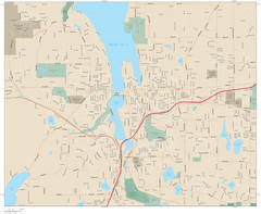
Olympia, Washington City Map
281 miles away

