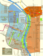
Central Portland, Oregon Map
Tourist map of Portland, Oregon. Shows museums, sports arenas, parks, and public transportation.
197 miles away
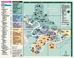
Oregon Zoo Map 2009
198 miles away
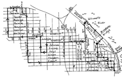
Pearl District Walking Map, Portland Oregon Map
Walk through the Pearl District, along the Willamette River and up to 23rd Street. Detour to the...
198 miles away
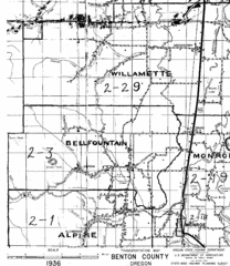
Transportaion for Benton County 1936 Map
1936 Map of Benton County, Oregon known as Muddy Area with counties, roads and towns marked
198 miles away
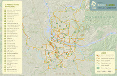
Bi-State Regional Trail System Plan Map
Shows plan for developing 37 Bi-State Regional Trails
199 miles away
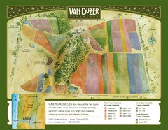
Van Duzer Vineyard Map
"A colorful vineyard map that shows the location of Van Duzer’s numerous grape varietals...
202 miles away
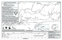
Forest Park Mountain Biking Map
Forest Park now includes over 5,100 wooded acres making it the largest, forested natural area...
202 miles away

Burning Map 2005 Map
Artistic representation of Burning Man's Black Rock City.
203 miles away
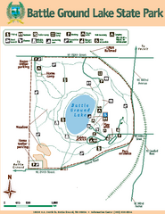
Battle Ground Lake State Park Map
Map of park with detail of trails and recreation zones
203 miles away
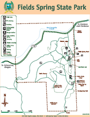
Fields Spring State Park Map
Map of park with detail of trails and recreation zones
204 miles away
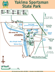
Yakima Sportsman State Park Map
Map of park with detail of trails and recreation zones
205 miles away

Yakima, Washington City Map
206 miles away
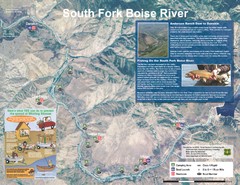
South Fork Boise River Map
Map of the South Fork of the Boise River from Anderson Ranch Dam to Neal Bridge. Premier wild...
206 miles away
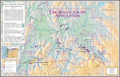
Oregon Rogue Valley wineries Map
Southern Oregon's Rogue Valley wineries
206 miles away
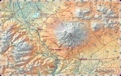
Mt. Shasta Scenic Area map
Great map of the Mt. Shasta region. Shows roads (including 4WD), mountains, lakes, and hiking...
209 miles away
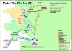
Pedal the Pinchot Bike Ride Route Map
Route Map for the Pedal the Pinchot 99 bike ride - annotated on a Park trail map.
210 miles away
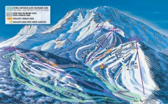
Mt. Shasta Ski Park Ski Trail Map
Official ski trail map of Mount Shasta Ski Park ski area
210 miles away
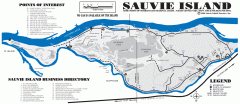
Sauvie Island tourist map
Tourist map of Sauvie Island in Oregon. Shows all businesses and points of interest.
211 miles away
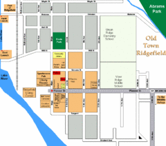
Guide Map of Old Town Ridgefield
Guide Map of Old Town Ridgefield, Washington
212 miles away
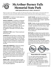
McArthur-Burney Falls Memorial State Park...
Map of park with detail of trails and recreation zones
212 miles away
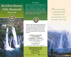
McArthur-Burney Falls Memorial State Park Map
Map of park with detail of trails and recreation zones
212 miles away
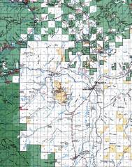
Clip07 Map
Visitor Maps of Klamath, central-western part of the park. Includes all roads, camp grounds...
214 miles away
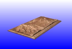
Mount St. Helens carved in wood by carvedmaps.com...
Mount St. Helens carved in wood by carvedmaps.com
214 miles away
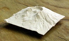
Mt. St. Helens 3D Print Map
This is a 3D-printed map of the cone, crater, and summit of Mt. St. Helens in Washington, USA. It...
214 miles away
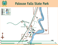
Palouse Falls State Park Map
Map of park with detail of trails and recreation zones
216 miles away
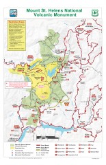
Mt. Saint Helens National Volcanic Monument...
Official recreation map showing all roads, trails, campgrounds, and other facilities. Also shows...
218 miles away
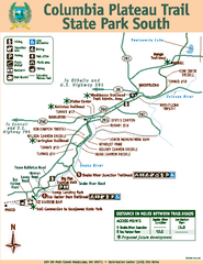
Columbia Plateau Trail State Park South Map
Map of park with detail of trails and recreation zones
221 miles away
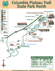
Columbia Plateau Trail State Park North Map
Map of park with detail of trails and recreation zones
221 miles away
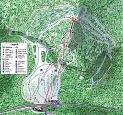
White Pass Ski Area Ski Trail Map
Trail map from White Pass Ski Area, which provides downhill, nordic, and terrain park skiing. It...
221 miles away
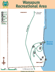
Wanapum Recreational Area Map
Map of park with detail of trails and recreation zones
223 miles away
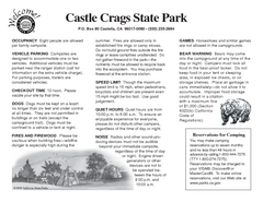
Castle Crags State Park Map
Map of park with detail of trails and recreation zones
223 miles away
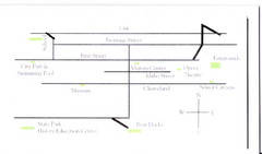
Glenns Ferry City Map
City map of Glenns Ferry, Idaho with information
223 miles away
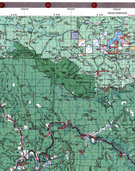
Klamath National Forest Map
Visitor Map of Klamath, western part of the park. Includes all roads, lakes, rivers and camping...
225 miles away
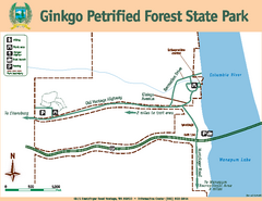
Ginkgo Petrified Forest State Park Map
Map of park with detail of trails and recreation zones
226 miles away
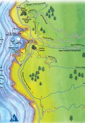
Cape Perpetua Map
227 miles away
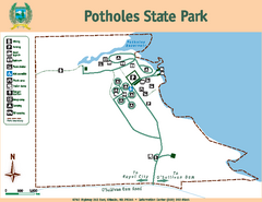
Potholes State Park Map
Map of park with detail of trails and recreation zones
227 miles away
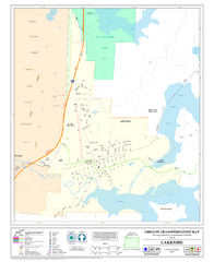
Lakeside Oregon Road Map
228 miles away
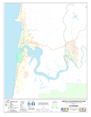
Newport Oregon Road Map
229 miles away
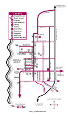
Nye Beach Tourist Map
230 miles away
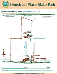
Olmstead Place State Park Map
Map of park with detail of trails and recreation zones
231 miles away

