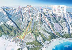
Tamarack Ski Trail Map
Official ski trail map of Tamarack ski area from the 2007-2008 season.
185 miles away
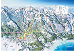
Tamarack Resort Ski Trail Map
Trail map from Tamarack Resort, which provides downhill, nordic, and terrain park skiing. It has 7...
186 miles away
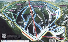
Bluewood Ski Trail Map
Trail map from Bluewood, which provides downhill, nordic, and terrain park skiing. It has 3 lifts...
186 miles away
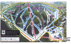
Bluewood Ski Trail Map
186 miles away
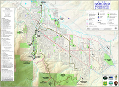
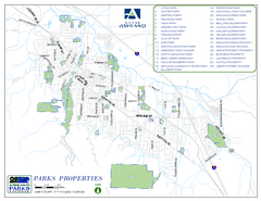
Ashland Trails Map
Trail map of Ashland, Oregon. Shows bicycle routes and public parks and trails.
187 miles away
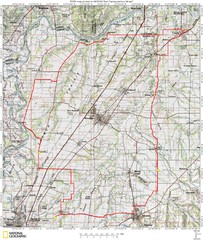
Spring Century Bike Route Map
Oregon Spring Century Ride
187 miles away

Happy Valley Oregon Road Map
188 miles away
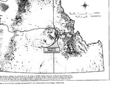
Map of Wolverine Sightings: 1886 -- 1998
188 miles away
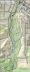
Lithia Park Trail Map
Trail map of Lithia Park in town of Ashland, Oregon. Adjacent to the Oregon Shakespeare Festival.
188 miles away
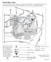
Powell Butte Nature Park Trail Map
Trail map of Powell Butte Nature Park. Shows over 9 miles of trails
189 miles away
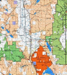
Modoc National Park Map
Visitor Map of Modoc National Park, eastern part. Includes all roads, lakes, camping and boating...
189 miles away

Bear Creek Greenway Map
Trail map of the Bear Creek Greenway connecting Central Point to Ashland, Oregon. Will eventually...
189 miles away
Medford, Oregon City Map
189 miles away
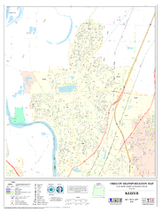
Keizer Oregon Road Map
191 miles away
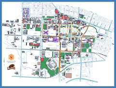
Oregon State University Campus Map
Campus map of Oregon State University in Corvallis, Oregon
191 miles away

Lake Oswego Oregon Road Map
192 miles away
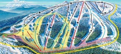
Mt. Ashland Ski Trail Map
Ski trail map of Mt. Ashland ski area near Ashland, Oregon
192 miles away
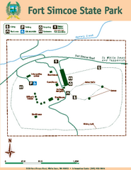
Fort Simcoe State Park Map
Map of park with detail of trails and recreation zones
193 miles away

Maywood Park Oregon Road Map
194 miles away
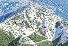
Brundage Mountain Resort Lakeview Bowl Ski Trail...
Trail map from Brundage Mountain Resort, which provides downhill and terrain park skiing. It has 5...
194 miles away
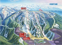
Brundage Mountain Resort Frontside Ski Trail Map
Trail map from Brundage Mountain Resort, which provides downhill and terrain park skiing. It has 5...
194 miles away

Independence Oregon Road Map
194 miles away
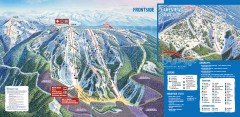
Brundage Ski Trail Map
Official ski trail map of Brundage ski area from the 2007-2008 season.
194 miles away
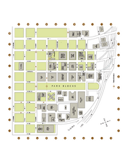
Portland State University Map
Campus Map of Portland State University. All buildings shown.
196 miles away

Tigard Oregon Road Map
196 miles away
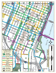
South Downtown Portland Bike Map
Biking map of southern downtown Portland, Oregon. Shows bike paths, bike parking, and bike shops.
196 miles away
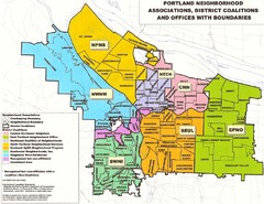
Portland Neighborhood Map
Shows neighborhood associations of Portland, Oregon.
196 miles away
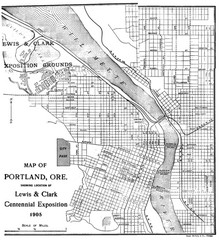
Portland, Oregon Map
Map of Portland, Oregon during centennial exposition of the Lewis & Clark Exploration...
197 miles away

King City Oregon Road Map
197 miles away
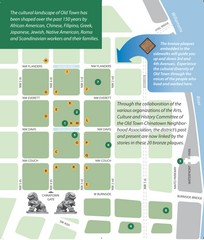
Old Town-China Town Map
Portland's oldest neighborhoods and history are easily seen in Old Town-China Town.
197 miles away
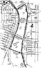
Portland Oregon downtown walk Map
Walk from the Amtrak Station to the Oregon Museum of Science and Industry. 4 miles round trip...
197 miles away
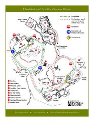
Portland Japanese Garden Map
So Far My favorite Japanese Garden
197 miles away
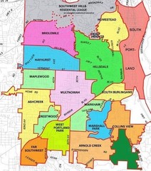
Portland, Oregon Neighborhood Map
197 miles away
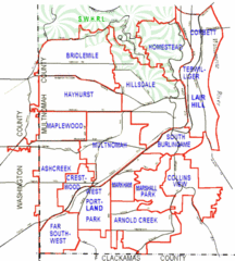
Portland, Oregon Neighborhood Map
197 miles away
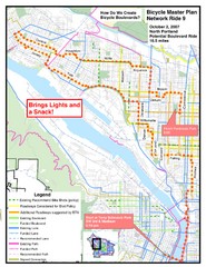
Portland, Oregon Bike Map
197 miles away
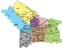
Portland, Oregon Neighborhood Map
197 miles away
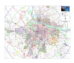
Portland, Oregon Tourist Map
197 miles away
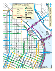
North Downtown Portland Bike Parking Map
Biking map of northern downtown Portland, Oregon. Shows bike paths, parking, and stores.
197 miles away

