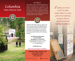
Columbia State Historic Park Map
Map of park with detail of trails and recreation zones
393 miles away
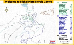
Nickel Plate Nordic Centre Ski Trail Map
Trail map from Nickel Plate Nordic Centre.
394 miles away
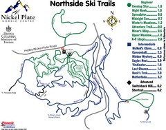
Nickel Plate Nordic Centre North Ski Trail Map
Trail map from Nickel Plate Nordic Centre.
394 miles away
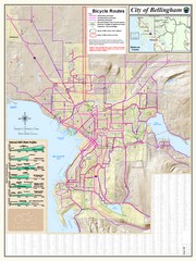
Bellingham, Washington City Map
394 miles away
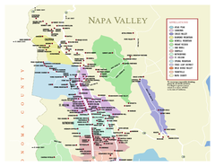
Napa County Wineries, California Map
Map of wineries in Napa County, California. Shows wineries and appellations.
394 miles away
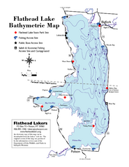
Bathymetric Map of Flathead Lake
Bathymetry refers to underwater depth
394 miles away
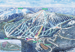
Apex Mountain Ski Trail Map
Official ski trail map of Apex Mountain ski area
394 miles away
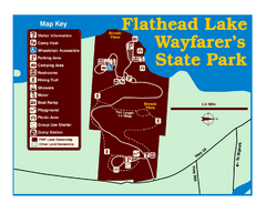
Wayfarers State Park Map
394 miles away
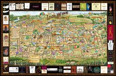
Lodi Valley Wine Map & Visitors Guide
A great source for information about the Lodi Wineries and our valleys rich Wine Region
394 miles away
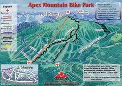
Apex Mountain Resort Biking Ski Trail Map
Trail map from Apex Mountain Resort, which provides downhill and terrain park skiing. It has 5...
394 miles away
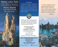
Mono Lake Tufa State Natural Reserve Map
Map of reserve with detail of trails and recreation zones
395 miles away
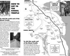
Kinsol Trestle Map
Map of the Kinsol Trestle
395 miles away
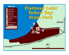
Yellow Bay State Park Map
Yellow Bay is in the heart of the famous Montana sweet cherry orchards, blossoms color the...
395 miles away
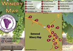
Kenwood Wine Tasting Map
396 miles away
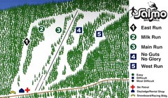
Salmo Ski Area Ski Trail Map
Trail map from Salmo Ski Area, which provides downhill skiing. This ski area has its own website.
396 miles away
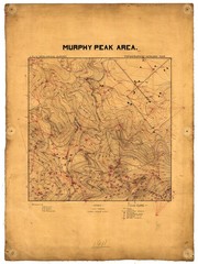
Murphy Peak Area Survey Map
Topographic geology map of Murphy Peak area, California. L.S.J.U. Geological Survey, 1911...
396 miles away
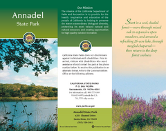
Annadel State Park Map
Map of park with detail of trails and recreation zones
396 miles away
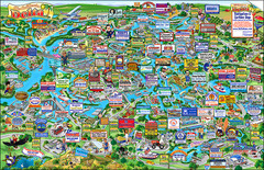
California Delta Boaters Map & Visitors Guide
Map of the California Delta, the Most Current, Legible and Unique Delta Navigation Map to date. Our...
396 miles away
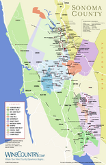
Sonoma Country Wine Map
Wine map of Sonoma, California area. Shows all vineyards.
396 miles away
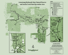
Armstrong Redwoods State Natural Reserve Map and...
Park map of Armstrong Redwoods State Natural Reserve and Austin Creek State Recreation Area in...
397 miles away
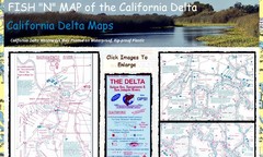
California Delta Maps Map
FISH "N" MAP of the California Delta. Navigation Map with GPS Locations. Printed on...
398 miles away
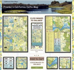
California Delta Maps Map
The "BEST" Navigational Maps of the California Delta. Franko's California...
398 miles away
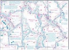
California Delta Maps/Fish "N" Map
The Delta including Suisun Bay, Sacramento & San Joaquin Rivers 10 Foot Underwater Depth...
398 miles away
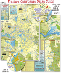
California Delta Maps Map
The "BEST" California Delta Boating, Navigation & Visitors Maps. Printed on Rip-Proof...
398 miles away
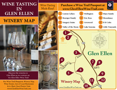
Glen Ellen Wine Tasting Map
398 miles away
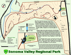
Sonoma Valley Regional Park Map
Trail map of 202 acre Sonoma Valley Regional Park.
399 miles away
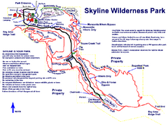
Skyline Wilderness Park Map
Trail map of Skyline Wilderness Park in Napa, California
399 miles away
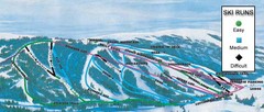
Kelly Canyon Ski Area Ski Trail Map
Trail map from Kelly Canyon Ski Area, which provides downhill, night, and terrain park skiing. It...
400 miles away
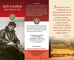
Jack London State Historic Park Map
Map of park with detail of trails and recreation zones
400 miles away
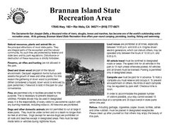
Brannan Island Campground Map
Map of park with detail of trails and recreation zones
401 miles away
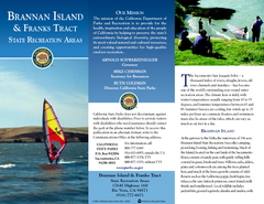
Brannan Island & Franks Tract State...
Map of park with detail of trails and recreation zones
401 miles away
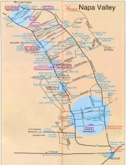
Napa Valley Tourist map
Tourist map of Napa Valley in California, showing wineries and museums in the area.
401 miles away
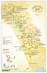
Sonoma Valley Winery Map
High quality map of Sonoma Valley wineries from the vinters and growers. Shows all key roads and...
402 miles away
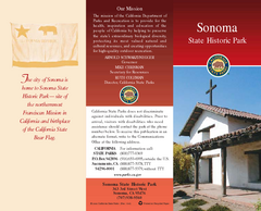
Sonoma State Historic Park Map
Map of park with detail of trails and recreation zones
402 miles away
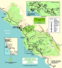
Salt Point State Park Map
Topo park map of Salt Point State Park and Kruse Rhododendron State Reserve. Shows trails by use...
402 miles away
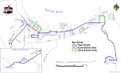
Neah Bay Bus Route Map
402 miles away
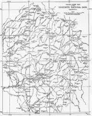
1914 Yosemite National Park Map
403 miles away
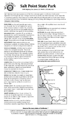
Salt Point State Park Campground Map
Map of campground region of park with detail of trails and recreation zones
403 miles away
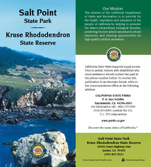
Salt Point State Park Map
Map of park with detail of trails and recreation zones
403 miles away
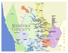
Wineries in Sonoma County, California Map
Map of winery locations in Sonoma County, California. Shows wineries, tasting rooms, and valleys of...
403 miles away

