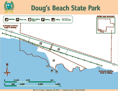
Dougs Beach State Park Map
Map of park with detail of trails and recreation zones
154 miles away
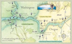
Columbia Gorge Wine Map
Wineries of the Columbia River Gorge area, Oregon.
157 miles away
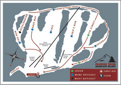
Cooper Spur Ski Area Ski Trail Map
Trail map from Cooper Spur Ski Area.
158 miles away
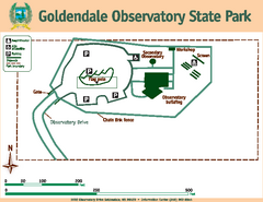
Goldendale State Park Map
Map of park with detail of trails and recreation zones
160 miles away
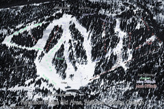
Ferguson Ridge Ski Trail Map
Trail map from Ferguson Ridge.
164 miles away
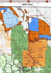
Modoc National Park Map
Visitor Map of Modoc National Park--Western Part. Includes the parameters of the Lava Beds...
164 miles away
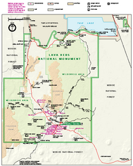
Lava Beds National Monument official park map
Official park map of Lava Beds National Monument. Shows trails, roads, cave entrances, and lava...
165 miles away
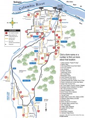
Hood River County Fruit Loop map
35-mile scenic drive through the valley's orchards, forests, farmlands, and friendly...
166 miles away
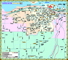
Hood River Map
Tourist map of city of Hood River, Oregon.
167 miles away
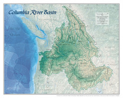
Columbia River Basin Map
168 miles away
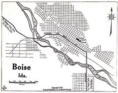
Boise Idaho 1917 Map
169 miles away
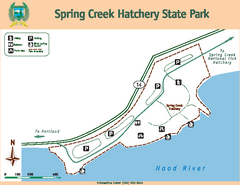
Spring Creek Hatchery State Park map
Map of park with detail of trails and recreation zones
170 miles away
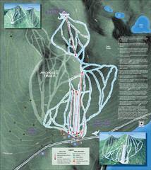
Willamette Pass Ski Trail Map
Trail map from Willamette Pass.
170 miles away
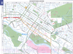
Boise, Idaho Downtown Map
Map of the downtown area of Boise, Idaho includes all streets, parks and the Boise State University.
171 miles away
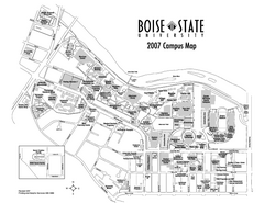
Boise State University Map
Boise State University Campus Map. All areas shown.
172 miles away
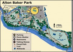
Alton Baker Park Map
Shows parking, picnic shelters, restrooms, talking stones, paved path, trail, and wetlands. Alton...
174 miles away
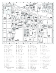
University of Oregon campus map
University of Oregon campus map with building abbreviations
174 miles away

Pacific Crest Trail Map
Shows entire route of 2,650 mile Pacific Crest Trail from Mexico to Canada.
175 miles away
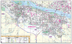
Kennewick, Washington City Map
175 miles away
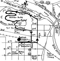
Eugene Oregon Walk, Skinner Butte and River Path...
Walk on the Willamette River Bike path, up Skinner Butte on a forest path and through a historic...
175 miles away
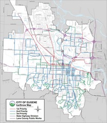
Eugene, Oregon City Map
175 miles away

Eugene Parks map
City of Eugene Parks Map. Includes streets and trails.
176 miles away
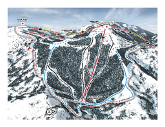
Bogus Basin Pine Creek Ski Trail Map
Trail map from Bogus Basin, which provides downhill, night, nordic, and terrain park skiing. It has...
176 miles away
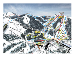
Bogus Basin Frontside Ski Trail Map
Trail map from Bogus Basin, which provides downhill, night, nordic, and terrain park skiing. It has...
176 miles away
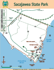
Sacajawea State Park Map
Map of park with detail of trails and recreation zones
176 miles away
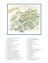
Whitman College Campus Map
Campus map of Whitman College in Walla Walla, WA
176 miles away
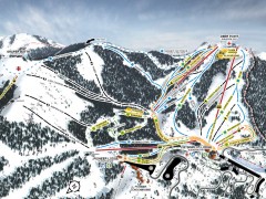
Bogus Basin Ski Trail Map - Front
Official ski trail map of frontside of Bogus Basin ski area from the 2007-2008 season.
176 miles away

City of Kennewick Map
Simple road map of Kennewick.
176 miles away
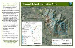
Howard Buford Recreational Area Trails Map
Map of the Howard Buford Recreational Area trails, roads, picnic areas, bathrooms, attractions.
177 miles away
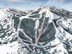
Bogus Basin Ski Trail Map - Pine Creek
Official ski trail map of Pine Creek area of Bogus Basinski area from the 2007-2008 season.
177 miles away
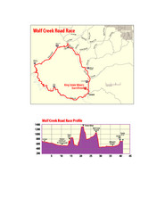
Wolf Creek Road Race Route and Route Elevation Map
Route map and elevation of Wolf Creek bike Race
178 miles away
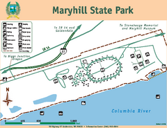
Maryhill State Park Map
Map of park with detail of trails and recreation zones
178 miles away
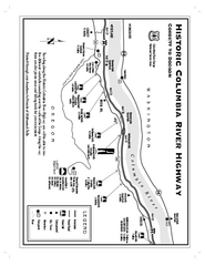
Historic Columbia River Highway Map
Official map from the US Forest Service. Shows the Corbett to Dodson stretch of Highway 30 with...
179 miles away
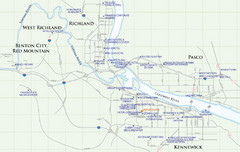
Kennewick Hotel Map
179 miles away
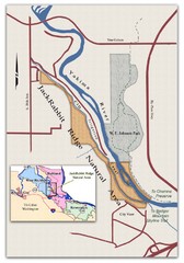
JackRabbit Ridge Natural Area Map
Shows urban wildlands
181 miles away
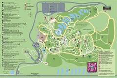
Oregon Garden Map
Map and key marking trails and more in this amazing garden.
181 miles away
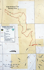
Grizzly Peak Trail Map
Topographic trail map of Grizzly Peak near Ashland, Oregon. Shows trails and distances. From...
181 miles away
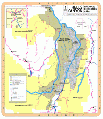
Hells Canyon National Recreation Area Map
Official Forest Service map of the Hells Canyon National Recreation Area. Shows roads, trails...
182 miles away
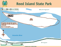
Reed Island State Park Map
Map of park with detail of trails and recreation zones
185 miles away
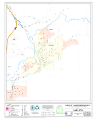
Oakland Oregon Road Map
185 miles away

