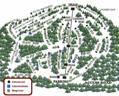
Bodie State Park NW Map
Map of park with detail of trails and recreation zones
380 miles away
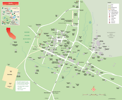
Bodie State Park Map
Map of park with detail of trails and recreation zones
380 miles away

Bodie State Park SW Map
Map of park with detail of trails and recreation zones
381 miles away
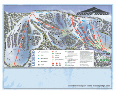
Dodge Ridge Ski Area Ski Trail Map
Trail map from Dodge Ridge Ski Area, which provides downhill, nordic, and terrain park skiing. It...
381 miles away

Bodie State Park SE Map
Map of park with detail of trails and recreation zones
381 miles away
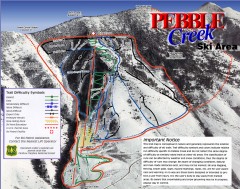
Pebble Creek Ski Trail Map
Official ski trail map of Pebble Creek ski area
382 miles away

Red Mountain Trail Map
Ski trail map
382 miles away
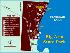
Big Arm State Park Map
Clear map and map key of Park camping grounds.
382 miles away
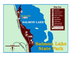
Salmon Lake State Park Map
Immediately adjacent to Montana 83, this park is an access point to one of the beautiful lakes in...
383 miles away

Red Mountain Ski Trail Map
Trail map from Red Mountain.
384 miles away
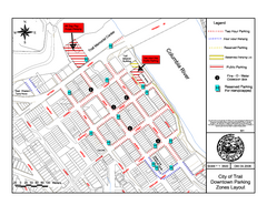
City of Trail Downtown Parking Map
Parking map of downtown Trail, British Columbia
385 miles away

2006–08 Black Jack Nordic Map
Trail map from Black Jack.
385 miles away

City of Trail BC Map
Map of city of Trail, BC on the Columbia River
385 miles away

rthsaanich.ca District Map
385 miles away
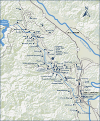
Dry Creek Valley Wineries, California Map
Map of wineries in Dry Creek Valley, California. Shows wineries and roads.
386 miles away
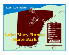
Lake Mary Ronan State Park Map
Off the beaten path just seven miles west of Flathead Lake, this park is shaded by Douglas fir and...
386 miles away
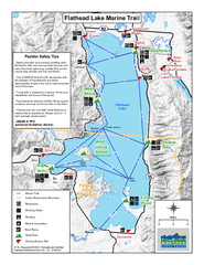
West Shore State Park Map
Glacially carved rock outcrops rise from Flathead Lake to overlooks with spectacular views of the...
387 miles away
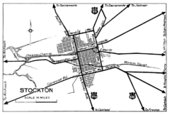
Stockton, California City Map
387 miles away
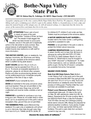
Bothe-Napa Valley State Park Map
Map of park with detail of of trails and recreation zones
387 miles away

The Town of Sidney - Parks Map
388 miles away
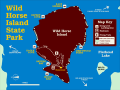
Wild Horse Island State Park Map
Boat access to this day-use-only, primitive park is regulated to protect the 2,000-acre island. The...
388 miles away
Lynden City Park Map
388 miles away
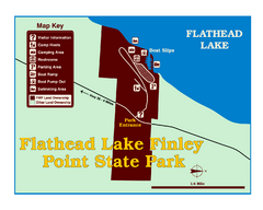
Finley Point State Park Map
This park is located in a secluded, mature pine forest near the south end of Flathead Lake. Enjoy...
389 miles away
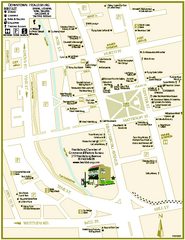
Downtown Healdsburg, California Map
Tourist maps of downtown Healdsburg, California. First map shows restaurants, galleries, wine...
389 miles away

Golden Spike National Monument Map
390 miles away
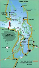
British Columbia, Canada Tourist Map
390 miles away
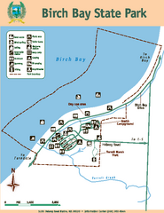
Birch Bay State Park Map
Map of park with detail of trails and recreation zones
390 miles away
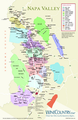
Napa Valley Wine Map
Wine map of Napa Valley, Napa, California. Shows all vineyards and shading by appellations from...
391 miles away
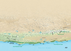
California Redwood Range Map
NPS prospective map of the coastal redwoord range in California, extending from Santa Cruz north to...
391 miles away
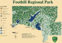
Foothill Regional Park Map
Park map of Foothill Regional Park in Sonoma County, California. Shows trails and 3 lakes.
391 miles away

Blacktail Mountain Ski Area Ski Trail Map
Trail map from Blacktail Mountain Ski Area.
392 miles away
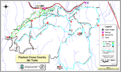
Paulson X-C (Castlegar Nordic) Ski Trail Map
Trail map from Paulson X-C (Castlegar Nordic), which provides nordic skiing. This ski area has its...
392 miles away
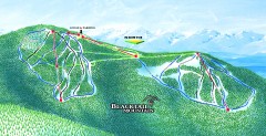
Blacktail Mountain Ski Trail Map
Official ski trail map of Blacktail Mountain ski area. See Blacktail's site for trailnames.
392 miles away
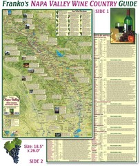
Napa Valley Wine Country Guide Map
Map of the Napa Valley Wine Country. With over 250 local Wineries listed. Printed on waterproof...
392 miles away
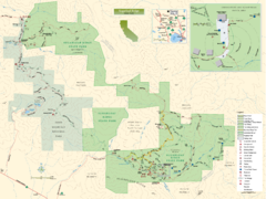
Sugarloaf Ridge State Park Map
Trail map of Sugarloaf Ridge State Park
393 miles away
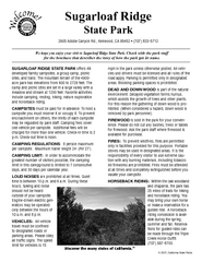
Sugarloaf Ridge State Park Campground Map
Map of park with detail of trails and recreation zones
393 miles away
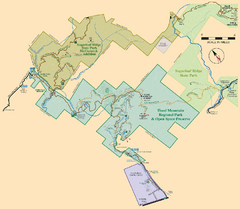
Hood Mountain Regional Park Map and Sugarloaf...
Park map of Hood Mountain Regional Park and Open Space Preserve and Sugarloaf Ridge State Park in...
393 miles away
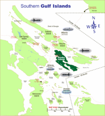
Southern Gulf Islands Map
Map of the region. Shows ferry routes.
393 miles away

