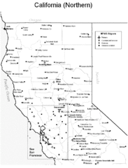
Northern California Airports Map
368 miles away
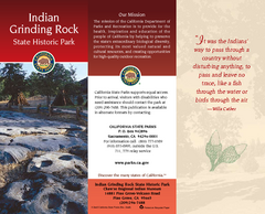
Indian Grinding Rock State Historic Park Map
Map of park with detail of trails and recreation zones
369 miles away
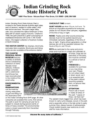
Indian Grinding Rock State Historic Park...
Map of campground region of park with detail of trails and recreation zones
369 miles away
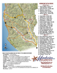
Mendocino Beer and Wine Tasting Map
Beer and wine tasting map of Mendocino county, California. Show breweries and wineries on the...
369 miles away
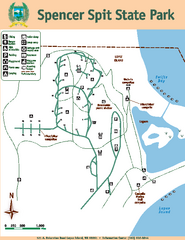
Spencer Spit State Park Map
Map of park with detail of trails and recreation zones
369 miles away
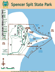
Spencer Spit State Park Map
Map of park with detail of trails and recreation zones
369 miles away
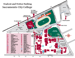
Sacramento City College Campus Map
Sacramento City Campus Map. All buildings shown.
369 miles away
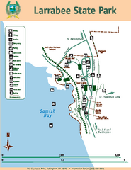
Larrabee State Park Map
Map of island with detail of trails and recreation zones
369 miles away
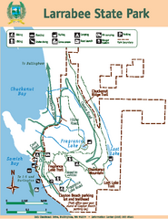
Larrabee State Park Map
Map of island with detail of trails and recreation zones
369 miles away
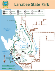
Larrabee State Park Map
Park map of Larrabee State Park, Washington.
370 miles away
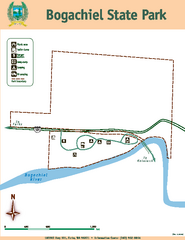
Bogachiel State Park Map
Map of park with detail of trails and recreation zones
370 miles away
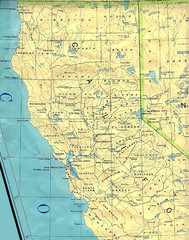
Northern California Map
Map of Northern California including cities, counties, and rivers
370 miles away
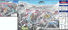
Mt. Baker Ski Trail Map
Official ski trail map of Mount Baker ski area from the 2007-2008 season.
370 miles away
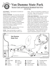
Russian Gulch State Park Campground Map
Map of campground region of park with detail of trails and recreation zones
370 miles away
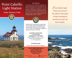
Point Cabrillo Light Station State Historic Park...
Map of park with detail of trails and recreation zones
371 miles away
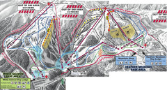
Mt. Baker Ski Area Ski Trail Map
Trail map from Mt. Baker Ski Area, which provides terrain park skiing. It has 10 lifts servicing 38...
371 miles away
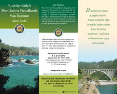
Mendocino Headlands State Parks Map
Map of parks with detail of trails and recreation zones
372 miles away
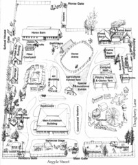
San Juan County Fair Map 2008
Fairgrounds map for the San Juan County Fair, Friday Harbor, Washington
372 miles away
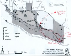
Lake Padden Park Trails Map
Course Elevation Map noted in handwriting on map. Festival location noted as well.
372 miles away
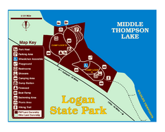
Logan State Park Map
With frontage on the north shore of Middle Thompson Lake, Logan is heavily forested with western...
372 miles away
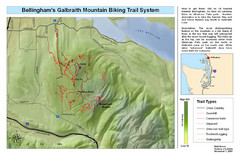
Bellingham Galbraith Mountain Biking Trail Map
Mountain biking trail map of Whatcom Falls Park near Bellingham, WA
372 miles away
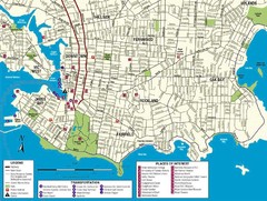
Downtown Victoria Map
372 miles away
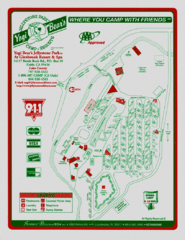
Jellystone Park at Glebrook Resort & Spa Map
372 miles away
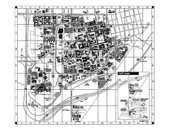
University of California at Davis Map
Campus Map of the University of California at Davis. All buildings shown.
372 miles away
BEACON HILL PARK MAP
373 miles away
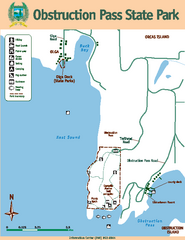
Obstruction Pass State Park Map
Map of park with detail of trails and recreation zones
373 miles away
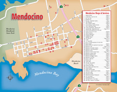
Mendocino Tourist Map
Tourist map of town of Mendocino, California. Shows shops and services.
373 miles away
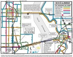
Davis, California BIke Map
373 miles away
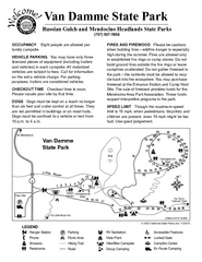
Van Damme State Park Campground Map
Map of campground region of park with detail of trails and recreation zones
373 miles away
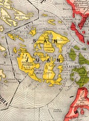
San Juan County Washington, 1909 Map
373 miles away
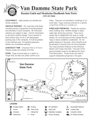
Van Damme State Park Campground Map
Map of campground region of park with detail of trails and recreation zones
373 miles away

Shuttle to Town Map
373 miles away

San Juan Island tourist map
San Juan Island and Friday Harbor tourist map. Shows all businesses.
373 miles away

Van Damme State Park Map
Park map of Van Damme State Park near Mendocino, California. Show Fern Valley Trail through...
373 miles away
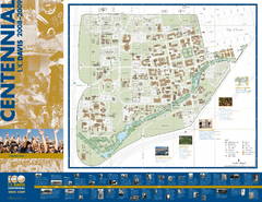
University of California Davis Campus Map
Campus map of UC Davis in Davis, California. Shows all buildings.
374 miles away
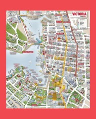
Victoria City Tourist Map
Tourist map of Victoria City on Vancouver Island, BC
374 miles away
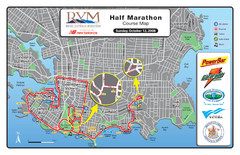
2008 Royal Victoria Half Marathon Map
Course Map for the Royal Victoria Half Marathon. Held Sunday, October 12, 2008
374 miles away
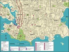
Victoria, British Columbia Tourist Map
374 miles away
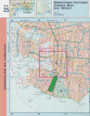
Downtown Victoria, British Columbia Tourist Map
374 miles away
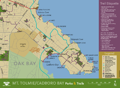
Mt. Tolmie & Cadboro Bay Map
Section of larger map, showing Seaside Touring Route and other regional and local cycling routes...
374 miles away

