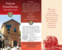
Folsom Powerhouse State Historic Park Map
Map of park with detail of trails and recreation zones
354 miles away
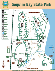
Sequim Bay State Park Map
Map of park with detail of trails and recreation zones
354 miles away
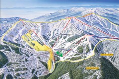
Schweitzer Ski Trail Map - Front
Official ski trail map of front side of Schweitzer ski area from the 2007-2008 season.
355 miles away
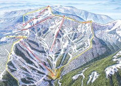
Schweitzer Ski Trail Map - Outback Bowl
Official ski trail map of back side of Schweitzer ski area from the 2007-2008 season.
356 miles away
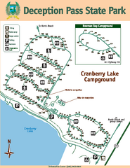
Deception Pass State Park Map
Map of park with detail of trails and recreation zones
356 miles away
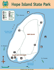
Hope Island State Park Map
Map of park with detail of trails and recreation zones
356 miles away
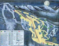
Marshall Mountain Ski Trail Map
Trail map from Marshall Mountain.
356 miles away
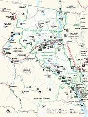
North Cascades National Park map
Official NPS map of North Cascades National Park, Washington. Shows the entire park and...
356 miles away
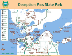
Deception Pass State Park Map
Map of park with detail of trails and recreation zones
357 miles away
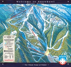
Montana Snowbowl Ski Trail Map
Trail map from Montana Snowbowl.
357 miles away
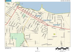
Port Angeles City Map
358 miles away
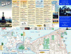
Fidalgo Island tourist map
Tourist map of Fidalgo Island in Anacortes, Washington. Shows recreation and points of interest.
359 miles away
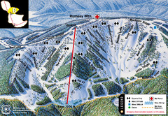
Discovery Basin Ski Area B Ski Trail Map
Trail map from Discovery Basin Ski Area.
359 miles away
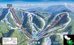
Discovery Basin Ski Area A Ski Trail Map
Trail map from Discovery Basin Ski Area.
359 miles away
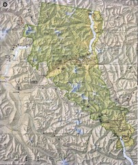
North Cascades National Park Physical Map
National Park
359 miles away
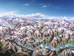
North Cascades National Park Oblique Map
Oblique map looking across Ross Damn, and Diablo Lake towards Seattle
360 miles away

Skagit County Washington, 1909 Map
360 miles away
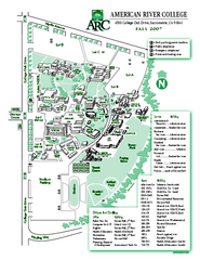
American River College Campus Map
American River College Campus Map. Shows all buildings.
360 miles away
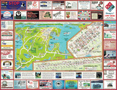
Anacortes tourist map
Tourist map of Anacortes, Washington. Shows recreation and points of interest.
360 miles away
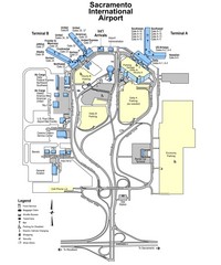
Sacramento International Airport Map
361 miles away
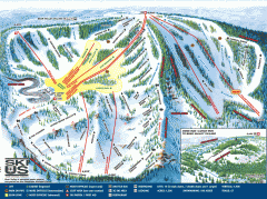
Bear Valley Ski Trail Map
Official ski trail map of Bear Valley ski area from the 2007-2008 season.
361 miles away
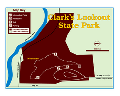
Clark's Lookatout State Park Map
Clearly marked State Park Map.
362 miles away
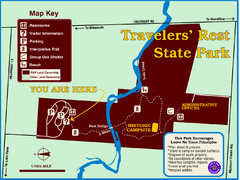
Travelers' Rest State Park Map
The Lewis and Clark expedition camped here twice during their historic journey to locate the...
362 miles away
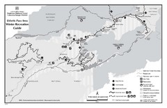
Ebbetts Pass Area Map
Guide to Winter Recreation at Ebbetts Pass
362 miles away
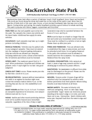
MacKerricher State Park Campground Map
Map of campground region of park with detail of trails and recreation zones
362 miles away
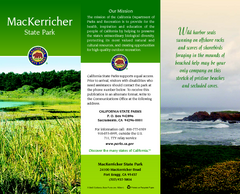
MacKerricher State Park Map
Map of park with detail of trails and recreation zones
363 miles away
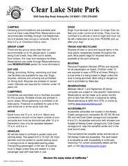
Clear Lake State Park Campground Map
Map of park with detail of trails and recreation zones
364 miles away
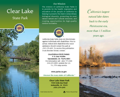
Clear Lake State Park Map
Map of park with detail of trails and recreation zones
364 miles away
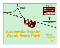
Anaconda Smoke Stack State Park Map
Simple map of State Park.
367 miles away
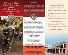
California Railroad Museum Map
Map of historic museum
367 miles away
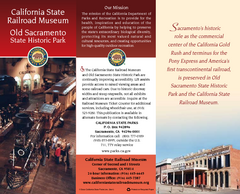
Old Sacramento State Historic Park Map
Map of park and museum with detail of trails and recreation zones
367 miles away
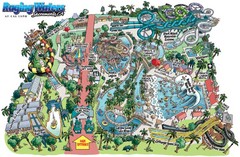
Raging Waters Sacramento Map
Fun and amusing water park for the whole family!
367 miles away

Bonneville Salt Flats International Speedway Map
367 miles away
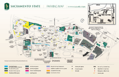
California State University at Sacramento Map
California State University at Sacramento Campus Map. All buildings shown.
367 miles away
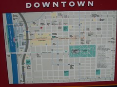
Downtown Sacramento City Map
City map of downtown Sacramento, California. From 2007 photo.
367 miles away
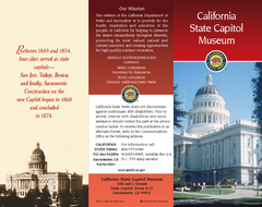
California State Capitol Museum Map
Map of museum and park
367 miles away
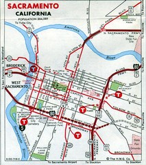
Sacramento, California City Map
367 miles away

Downtown Sacramento, California Map
Tourist map of Downtown Sacramento, California. Museums, lodging, shopping and other attractions...
367 miles away
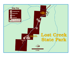
Lost Creek State Park Map
These spectacular gray limestone cliffs and pink and white granite formations rise 1,200 feet above...
367 miles away
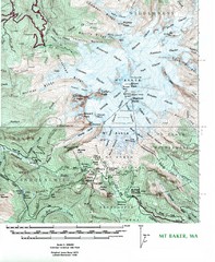
Mt. Baker Topo Map
Topo map of Mt. Baker, Washington, elevation 10,778ft.
367 miles away

