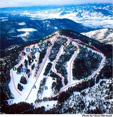
Loup Loup Ski Bowl Ski Trail Map
Trail map from Loup Loup Ski Bowl, which provides downhill, night, and nordic skiing. It has 2...
325 miles away
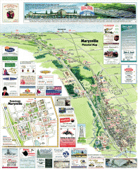
Marysville tourist map
Tourist map of Marysville, Washington. Shows all businesses.
326 miles away
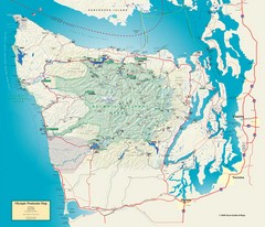
Olympic National Park and Peninsula Map
Guide to the Olympic National Park and surrounding region
327 miles away
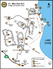
D.L. Bliss State Park Campground Map
Map of park with detail of trails and recreation zones
327 miles away
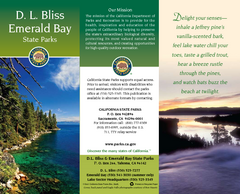
D.L. Bliss State Park Map
Map of park with detail of trails and recreation zones
327 miles away

South Whidbey Island tourist map
Tourist map of South Whidbey Island, Washington. Shows all businesses.
327 miles away
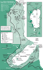
Emerald Bay State Park and DL Bliss State Park...
Trail map of Emerald Bay State Park and DL Bliss State Park on the shores of Lake Tahoe, California
328 miles away
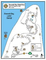
Emerald Bay State Park Campground Map
Map of park with detail of trails and recreation zones
329 miles away
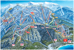
Heavenly Valley Ski Trail Map
Official ski trail map of Heavenly Valley ski area from the 2007-2008 season.
329 miles away

South Whidbey tourist map
Tourist map of South Whidbey, Washington. Shows all businesses.
329 miles away
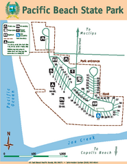
Pacific Beach State Park Map
Map of park with detail of trails and recreation zones
329 miles away
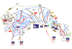
Heavenly Ski Resort Ski Trail Map
Trail map from Heavenly Ski Resort, which provides downhill, nordic, and terrain park skiing. It...
329 miles away
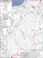
Tahoe Rim Trail: Kingsbury South to Big Meadows...
Topographic hiking map of the Kingsbury South-Big Meadows leg of the Tahoe Rim Trail. Shows...
330 miles away
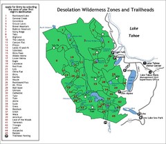
Desolation Wilderness Permits Zone Map
Zone and trailhead map of the Desolation Wilderness near Lake Tahoe, California. Use to figure out...
331 miles away
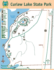
Curlew Lake State Park Map
Map of park with detail of trails and recreation zones
331 miles away
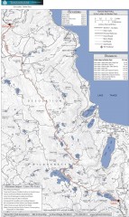
Tahoe Rim Trail: Echo Lake to Barker Pass Map
Topographic hiking map of the Echo Lake-Barker Pass leg of the Tahoe Rim Trail. Shows pedestrian...
332 miles away
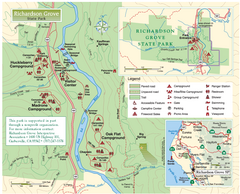
Richardson Grove State Park Map
Park map of Richardson Grove State Park, California. Shows trails, campgrounds, and other...
333 miles away
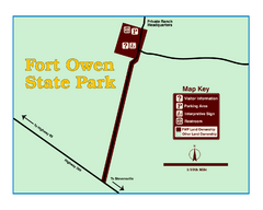
Fort Owen State Park Map
Fort Owen’s adobe and log remains preserves the site of the first permanent white settlement...
333 miles away
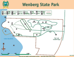
Wenberg State Park Map
Map of park with detail of trails and recreation zones
333 miles away
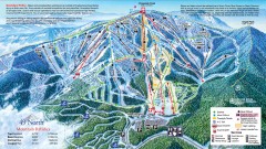
49 Degrees North Ski Trail Map
Official ski trail map of ski area from the 2007-2008 season.
333 miles away
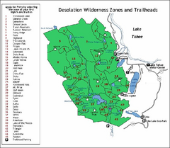
Desolation Wilderness, Lake Tahoe, California Map
Map of Desolation Wilderness, southwest of Lake Tahoe, California. Shows pack-in camping zones...
333 miles away
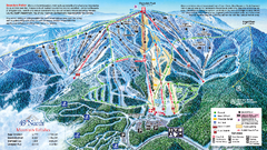
49 North Mountain Resort Ski Trail Map
Trail map from 49 North Mountain Resort, which provides downhill, night, nordic, and terrain park...
334 miles away
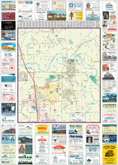
Arlington tourist map
Tourist map of Arlington, Washington. Shows all businesses.
334 miles away
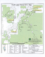
South Lake Tahoe Off-Highway Vehicle Map
Off-Highway Vehicle Map of South Lake Tahoe, California. Shows roads open to motorcycles, ATVs, and...
334 miles away

Whidbey Island tourist map
Tourist map of Whidbey Island and Coupeville, Washington. Shows all businesses.
334 miles away

Arlington and Smokey Point tourist map
Tourist map of Arlington and Smokey Point, Washington. Shows all businesses.
335 miles away
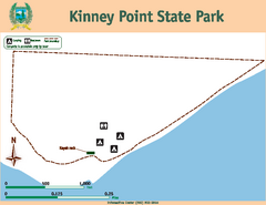
Kinney Point State Park Map
Map of island with detail of trails and recreation zones
336 miles away
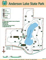
Anderson Lake State Park Map
Map of park and trails
336 miles away
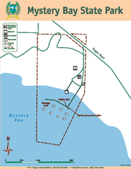
Mystery Bay State Park Map
Map of park with detail of trails and recreation zones
336 miles away
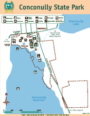
Conconully State Park Map
Map of park with detail of trails and recreation zones
336 miles away
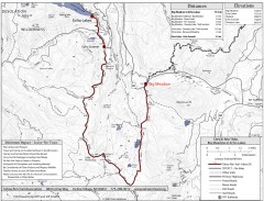
Tahoe Rim Trail: Big Meadow to Echo Lake Map
Topographic hiking map of the Big Meadow-Echo Lake leg of the Tahoe Rim Trail. Bike and pedestrian...
337 miles away
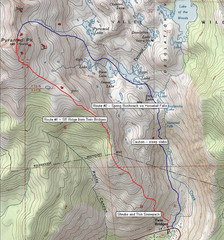
Pyramid Peak Ski Route Map
Backcountry ski route map of Pyramid Peak 9983 ft in the Desolation Wilderness near Lake Tahoe...
337 miles away
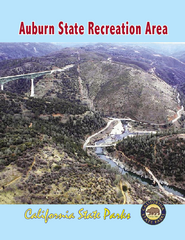
Auburn State Recreation Area Map
Map of park with detail of of trails and recreation zones
338 miles away
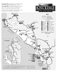
King Range National Conservation Area Trail Map
Trail map of the King Range National Conservation Area, home of the Lost Coast, California. Shows...
339 miles away
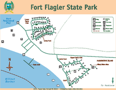
Fort Flagler State Park Map
Map of park with detail of trails and recreation zones
339 miles away
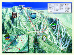
Sierra-at-Tahoe Ski Trail Map
Trail map from Sierra-at-Tahoe, which provides downhill and terrain park skiing. It has 12 lifts...
339 miles away
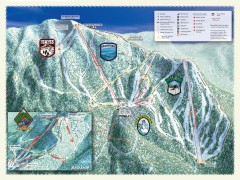
Sierra-at-Tahoe Ski Trail Map
Official ski trail map of Sierra-at-Tahoe ski area from the 2007-2008 season.
339 miles away
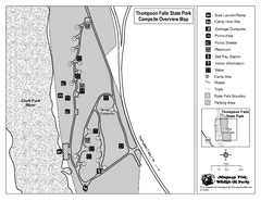
Thompson Falls State Park Map
This shaded, quiet campground is located on the Clark Fork River near the town of Thompson Falls in...
340 miles away
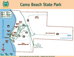
Cama Beach State Park Map
Map of park with detail of trails and recreation zones
340 miles away
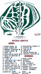
Maverick Mountain Ski Area Ski Trail Map
Trail map from Maverick Mountain Ski Area.
340 miles away

