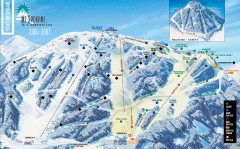
Mt. Spokane Ski Trail Map
Official ski trail map of Mount Spokane ski area from the 2006-2007 season.
317 miles away
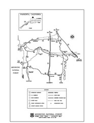
Mendocino National Forest map
Map of the Nome Cult Trail Walk in the Mendocino National Forest.
317 miles away
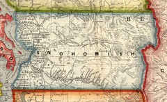
Snohomish County Washington, 1909 Map
317 miles away
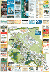
Mukilteo tourist map
Mukilteo, Washington tourist map. Shows all businesses.
318 miles away

Digital Elevation Model Satellite Tahoe Map
Digital Elevation Models
318 miles away
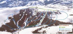
Pomerelle Ski Area Ski Trail Map
Trail map from Pomerelle Ski Area, which provides downhill, night, and terrain park skiing. It has...
318 miles away
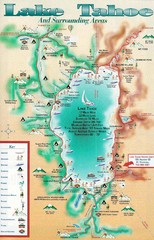
Lake Tahoe and nearby activities Map
Lake Tahoe and nearby resorts and activities
318 miles away
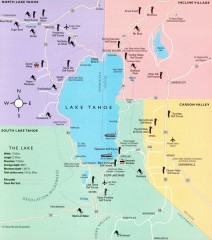
Lake Tahoe Area, California Map
Recreation map of Lake Tahoe, California. Points of interest shown include golfing, skiing, and...
318 miles away
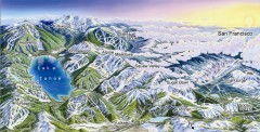
Lake Tahoe Ski Resort map
Winter map of Lake Tahoe showing relative position of all ski resorts. South-facing view. Created...
318 miles away
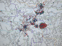
Nevada County Economic Resource Council Activity...
The ERC supports many different businesses in western Nevada County. We provide business assistance...
319 miles away
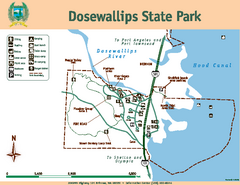
Dosewallips State Park Map
Map of park with detail of trails and recreation zones
319 miles away
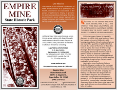
Empire Mine State Historic Park Map
Map of park with detail of trails and recreation zones
319 miles away
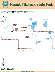
Mount Pilchuck State Park Map
Map of park with detail of trails and recreation zones
320 miles away
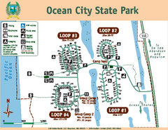
Ocean City State Park Map
Map of park with detail of trails and recreation zones
320 miles away

Centennial Trail Map
320 miles away
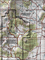
City of Rocks Topo Map
This topo map does not do justice to City of Rocks which is a wonderful reserve that is managed by...
320 miles away
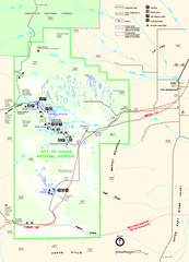
City of Rocks Park Map
This is the official Map for the reserve
320 miles away
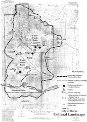
Sites of Cultural Importance, City of Rocks Area...
320 miles away
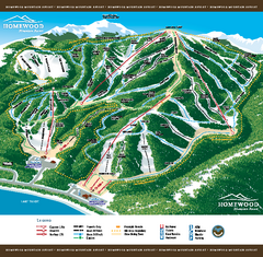
Homewood Mountain Resort Ski Trail Map
Trail map from Homewood Mountain Resort, which provides downhill and terrain park skiing. It has 7...
320 miles away
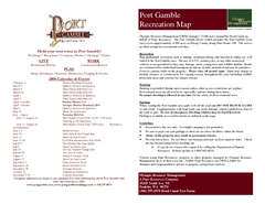
Stottlemeyer trails Map
320 miles away
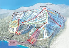
Homewood Ski Trail Map
Official ski trail map of Homewood ski area from the 2007-2008 season.
320 miles away
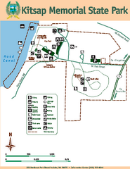
Kitsap Memorial State Park Map
Map of island with detail of trails and recreation zones
321 miles away
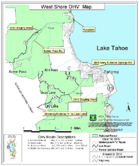
West Shore Lake Tahoe Off-highway Vehicle Map
Off-highway vehicle map of the West Shore of Lake Tahoe. Roads open to motorcycles, ATVs, and 4x4s...
321 miles away

Centennial Trail Map
Centennial Trail has 23 miles completed (Snohomish to Bryant) with more in progress.
321 miles away
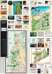
Mukilteo tourist map
Greater Mukilteo, Washington tourist map. Shows all businesses.
321 miles away
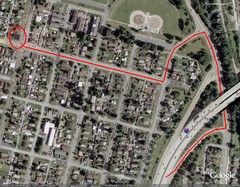
19th and Walnut in Everett, WA Map
322 miles away
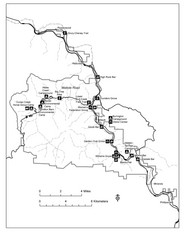
Humboldt Redwoods State Park Map
Park map of Humboldt Redwoods State Park, California. Shows Avenue of the Giants, trailheads and...
322 miles away
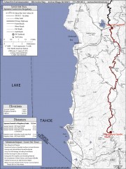
Tahoe Rim Trail: Spooner Summit to Kingsbury...
Topographic hiking map of the Spooner Summit-Kingsbury North leg of the Tahoe Rim Trail. Bike and...
322 miles away
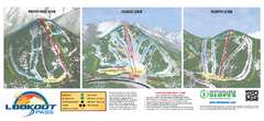
Lookout Pass Ski Trail Map
Official ski trail map of Lookout Pass ski area from the 2007-2008 season. Shows Montana, Idaho...
322 miles away
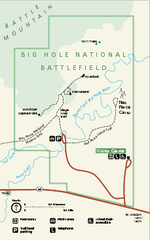
Big Hole National Battlefield Official Map
Official NPS map of Big Hole National Battlefield in Montana. Big Hole National Battlefield is...
322 miles away
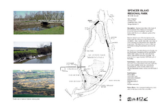
Spencer Island Park map
322 miles away
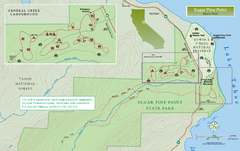
Sugar Pine Point State Park North Map
Map of northern region of park with detail of trails and recreation zones
322 miles away
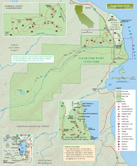
Sugar Pine Point State Park Map
Map of park with detail of trails and recreation zones
322 miles away
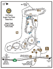
Sugar Pine Point State Park Campground Map
Map of campground region of park with detail of trails and recreation zones
322 miles away
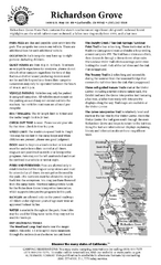
Richardson Grove State Park Campground Map
Map of campground region of park with detail of trails and recreation zones
323 miles away
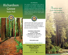
Richardson Grove State Park Map
Map of park with detail of trails and recreation zones
323 miles away
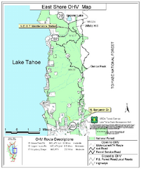
East Shore Lake Tahoe Off-highway Vehicle Map
Off-highway vehicle map of the East Shore of Lake Tahoe, California. Shows roads open to...
323 miles away

Sugar Pine Point State Park South Map
Map of southern region of park with detail of trails and recreation zones
323 miles away
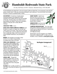
Humboldt Redwoods State Park Campground Map
Map of campground region park with detail of trails and recreation zones
324 miles away
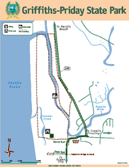
Griffiths-Priday State Park Map
Griffiths-Priday State Park
325 miles away

