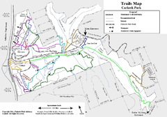
Carkeek Park Trail Map
Trail map of Carkeek Park on the Puget Sound, Seattle, WA. Shows maintained and unmaintained trails.
308 miles away
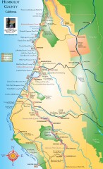
Humboldt County, California Map
Tourist map of Humboldt County, California. Shows parks, wildlife refuges, visitor centers, and...
308 miles away
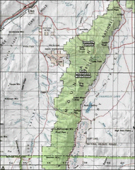
Ruby Mountains Wilderness Map
Overview map of Ruby Mountains Wilderness and Lamoille Canyon
309 miles away
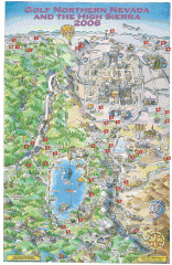
Reno and Lake Tahoe Area Golf map
Illustrated map showing all golf courses in the Reno/lake Tahoe area, 2006 version. To view more...
309 miles away
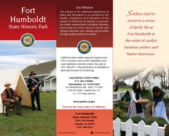
Fort Humboldt State Historic Park Map
Map of park with detail of trails and recreation zones
309 miles away
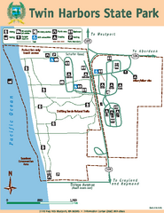
Twin Harbors State Park Map
Map of park with detail of trails and recreation zones
309 miles away
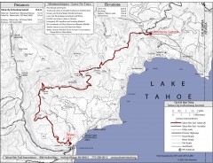
Tahoe Rim Trail: Tahoe City to Brockway Summit Map
Topographic hiking map of the Tahoe City-Brockway Summit leg of the Tahoe Rim Trail. Shows trail...
309 miles away

3-D Panoramic Map of the Puget Sound
A 3D panoramic map of a view from a private residence over Puget Sound toward the Olympic mountains.
310 miles away
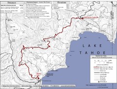
Tahoe Rim Trail Map
310 miles away
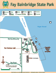
Fay Bainbridge State Park Map
Map of park with detail of trails and recreation zones
311 miles away
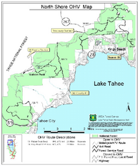
North Shore Lake Tahoe Off-Highway Vehicle Map
Off-highway vehicle map of the area around the North shore of Lake Tahoe. Roads open to motorcycles...
311 miles away
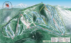
Lost Trail Powder Mountain Ski Trail Map
Official ski trail map of Lost Trail Powder Mountain ski area
311 miles away
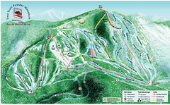
Lost Powder Mountain Ski Trail Map
Trail map from Lost Trail Powder Mountain.
311 miles away
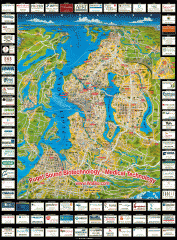
Puget Sound biotech map
Map of Puget Sound area biotechnology companies.
311 miles away
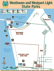
Westhaven/Westport Light State Parks Map
Map of park with detail of trails and recreation zones
312 miles away

Carson River Aquatic Trail Map
312 miles away
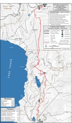
Tahoe Rim Trail: Tahoe Meadows to Spooner Summit...
Topographic hiking map of the Tahoe Meadows-Spooner Summit leg of the Tahoe Rim Trail. Shows bike...
312 miles away

Harmony Ridge Resort Map
312 miles away
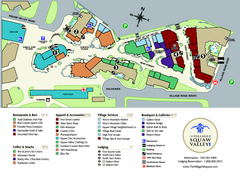
Squaw Valley Base Village Map
Village map of base of Squaw Valley Ski Resort, Lake Tahoe, California. Shows all restaurants...
313 miles away
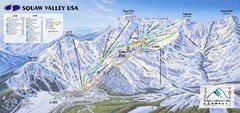
Squaw Valley USA Ski Trail Map
Trail map from Squaw Valley USA, which provides downhill, night, nordic, and terrain park skiing...
313 miles away
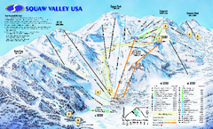
Squaw Valley USA Trail Map
Trail map of Squaw Valley ski area in Lake Tahoe, California
313 miles away
Silver Mountain Resort Ski Trail Map
Trail map from Silver Mountain Resort, which provides downhill, night, and terrain park skiing. It...
313 miles away
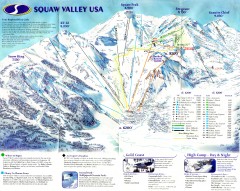
Squaw Valley Ski Trail Map
Scan of ski trail map of Squaw Valley ski area from the 2000-2001 season.
313 miles away
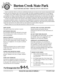
Burton Creek State Park Map
Map of park with detail of trails and recreation zones
313 miles away
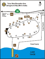
Tahoe State Recreation Area Campground Map
Map of park with detail of trails and recreation zones
314 miles away

Downtown Edmonds tourist map
Tourist map of Downtown Edmonds, Washington. Shows all businesses.
314 miles away

Edmonds tourist map
Tourist map of Edmonds, Washington. Shows all businesses.
314 miles away
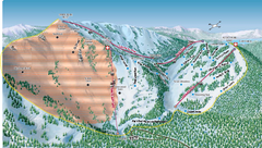
Alpine Meadows Ski Area Backside Ski Trail Map
Trail map from Alpine Meadows Ski Area, which provides downhill and terrain park skiing. It has 13...
315 miles away
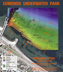
Edmonds Underwater Park Map
Map of underwater park for divers
315 miles away
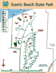
Scenic Beach State Park Map
Map of park with detail of trails and recreation zones
315 miles away
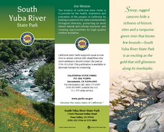
South Yuba River State Park Map
Map of park with detail of trails and recreation zones
315 miles away
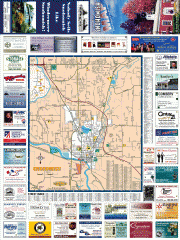
Snohomish tourst map
Tourist map of Snohomish, Washington. Shows all businesses.
315 miles away
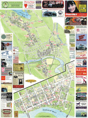
Snohomish tourist map
Snohomish, Washington tourist map. Shows all businesses.
315 miles away
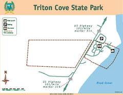
Triton Cove State Park Map
Map of park with detail of trails and recreation zones
316 miles away
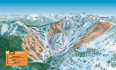
Alpine Meadows Ski Trail Map (Front)
Official ski trail map of Alpine Meadows ski area from the 2005-2006 season.
316 miles away
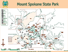
Mount Spokane State Park Map
Map of park with detail of trails and recreation zones
316 miles away
Mount Spokane Trail Map
Contour map of Mount Spokane
316 miles away
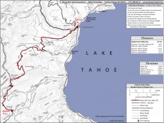
Tahoe Rim Trail: Barker Pass to Tahoe City Map
Topographic hiking map of the Barker Pass-Tahoe City leg of the Tahoe Rim Trail. Shows trailheads...
316 miles away

Granite Chief Wilderness Map
Trail map of Granite Chief Wilderness in Lake Tahoe region. Shows trails (inlcuding Pacific Crest...
317 miles away

