California Delta Maps Map
The "BEST" Navigational Maps of the California Delta. Franko's California...
84 miles away
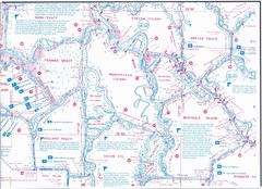
California Delta Maps/Fish "N" Map
The Delta including Suisun Bay, Sacramento & San Joaquin Rivers 10 Foot Underwater Depth...
84 miles away
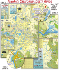
California Delta Maps Map
The "BEST" California Delta Boating, Navigation & Visitors Maps. Printed on Rip-Proof...
84 miles away
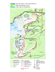
Indian Tree, Little Mountain, and Verissimo Hills...
85 miles away
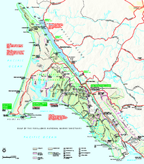
Point Reyes National Seashore Map
Official NPS map of Point Reyes National Seashore in Marin County, California. Shows trails, roads...
85 miles away
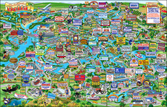
California Delta Boaters Map & Visitors Guide
Map of the California Delta, the Most Current, Legible and Unique Delta Navigation Map to date. Our...
85 miles away

Mt. Burdell Open Space Preserve Map
Trail map of Mt. Burdell Open Space Preserve and Olompali State Historic Park in Novato, Marin...
86 miles away
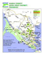
Marin Open Space Preserves Map
Shows all Open Space Preserves in Marin County, CA.
87 miles away
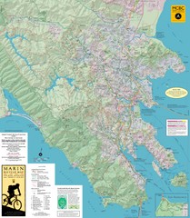
Marin, California Bike Map
87 miles away
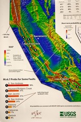
California Faults and Earthquake Probablity...
The Uniform California Earthquake Rupture Forecast map hangs at a press conference where...
88 miles away
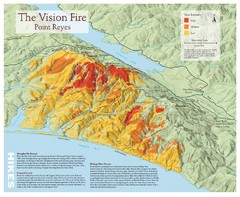
Point Reyes Vision Fire Map
Map of the burn intensity of the 1995 Vision Fire in Point Reyes National Seashore.
88 miles away

Mi-Wok OHV Trail Map
Trail Maps for Off Road Bikes in Stanislaus National Forest
89 miles away
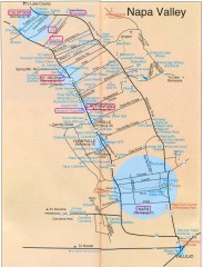
Napa Valley Tourist map
Tourist map of Napa Valley in California, showing wineries and museums in the area.
89 miles away
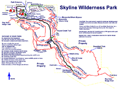
Skyline Wilderness Park Map
Trail map of Skyline Wilderness Park in Napa, California
90 miles away
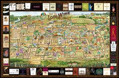
Lodi Valley Wine Map & Visitors Guide
A great source for information about the Lodi Wineries and our valleys rich Wine Region
90 miles away

Turlock Lake State Recreation Area Campground Map
Map of campground region of recreation area with detail of trails and recreation zones
91 miles away
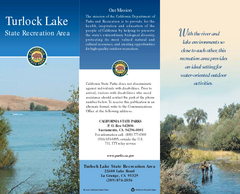
Turlock Lake State Recreation Area Map
Map of recreation area with detail of trails and recreation zones
92 miles away
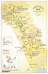
Sonoma Valley Winery Map
High quality map of Sonoma Valley wineries from the vinters and growers. Shows all key roads and...
94 miles away
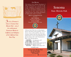
Sonoma State Historic Park Map
Map of park with detail of trails and recreation zones
95 miles away
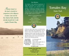
Tomales Bay State Park Map
Map of park with detail of trails and recreation zones
96 miles away
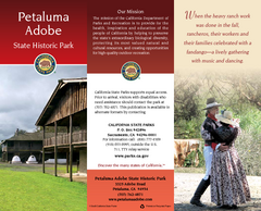
Petaluma Adobe State Historic Park Map
Map of park with detail of trails and recreation zones
96 miles away
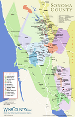
Sonoma Country Wine Map
Wine map of Sonoma, California area. Shows all vineyards.
99 miles away
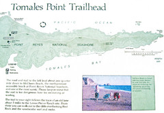
Tomales Point Trail Map
Map of the trail to Tomales Point in Point Reyes National Seashore, California. Also shows trail...
99 miles away
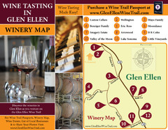
Glen Ellen Wine Tasting Map
99 miles away
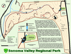
Sonoma Valley Regional Park Map
Trail map of 202 acre Sonoma Valley Regional Park.
99 miles away
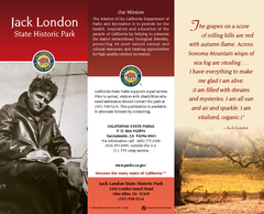
Jack London State Historic Park Map
Map of park with detail of trails and recreation zones
99 miles away
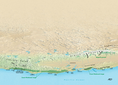
California Redwood Range Map
NPS prospective map of the coastal redwoord range in California, extending from Santa Cruz north to...
100 miles away
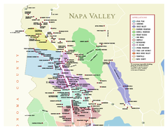
Napa County Wineries, California Map
Map of wineries in Napa County, California. Shows wineries and appellations.
101 miles away
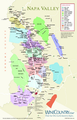
Napa Valley Wine Map
Wine map of Napa Valley, Napa, California. Shows all vineyards and shading by appellations from...
102 miles away
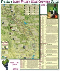
Napa Valley Wine Country Guide Map
Map of the Napa Valley Wine Country. With over 250 local Wineries listed. Printed on waterproof...
102 miles away
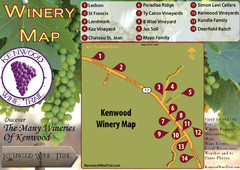
Kenwood Wine Tasting Map
103 miles away
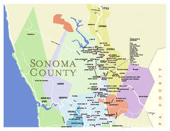
Wineries in Sonoma County, California Map
Map of winery locations in Sonoma County, California. Shows wineries, tasting rooms, and valleys of...
104 miles away
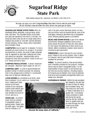
Sugarloaf Ridge State Park Campground Map
Map of park with detail of trails and recreation zones
105 miles away
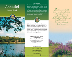
Annadel State Park Map
Map of park with detail of trails and recreation zones
106 miles away
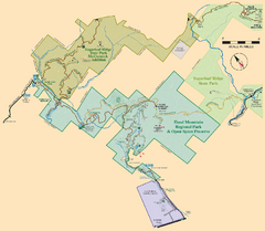
Hood Mountain Regional Park Map and Sugarloaf...
Park map of Hood Mountain Regional Park and Open Space Preserve and Sugarloaf Ridge State Park in...
106 miles away
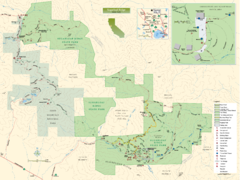
Sugarloaf Ridge State Park Map
Trail map of Sugarloaf Ridge State Park
106 miles away
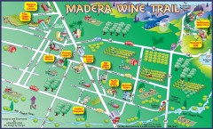
Madera wine map
Tourist map of Madera, California showing Madera Vinters and area wineries.
108 miles away
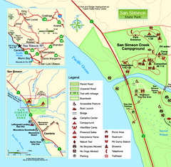
San Simeon State Park West Map
Map of west region of park with detail of trails and recreation zones
108 miles away
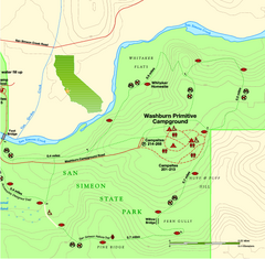
San Simeon State Park East Map
Map of east region of park with detail of trails and recreation zones
108 miles away

San Simeon State Park Map
Map of park with detail of trails and recreation zones
108 miles away

