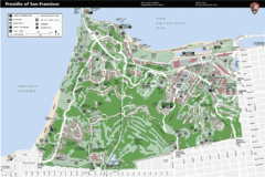
Presidio of San Francisco detail map
Detail map of the Presidio of San Francisco from NPS. Shows hiking/walking trails and POIs such as...
62 miles away
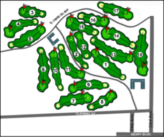
Lincoln Park Golf Course Map
62 miles away
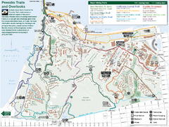
Presidio Trail and Overlook Map
Trail map of the Presidio in San Francisco. Shows 12 major trails (both existing and proposed) and...
62 miles away
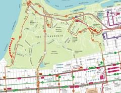
Baker Beach, San Francisco Tourist Map
62 miles away
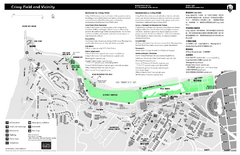
Crissy Field Map
Official NPS map of Crissy Field and vicinity in the Presidio of San Francisco, CA
62 miles away
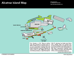
Alcatraz Island Map
Official NPS map of Alcatraz Island National Park in the San Francisco Bay, California
63 miles away
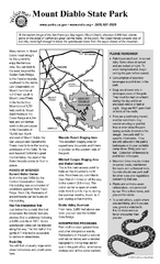
Mount Diablo State Park Campground Map
Map of park with detail of trails and recreation zones
63 miles away
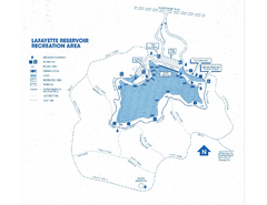
Lafayette Reservoir Recreation Area Map
63 miles away
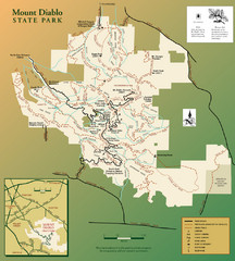
Mt. Diablo State Park Map
Trail map of Mt. Diablo State Park near Walnut Creek, CA
63 miles away
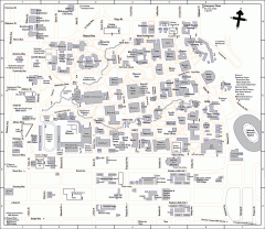
UC Berkeley Map
UC Berkeley campus map
63 miles away
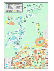
University of California, Berkeley Visitor Map
Colorful Map that illustrates the location of all buildings, parking areas, and streets in and...
63 miles away
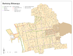
Bikeway Network of Berkeley, California Map
Map of current and proposed bike paths, lanes, and boulevards in Berkeley, California.
63 miles away
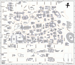
University of California at Berkeley Map
Campus map of the University of California at Berkeley. All buildings shown.
63 miles away
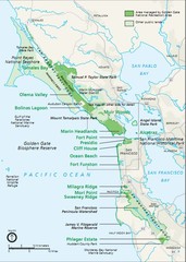
Golden Gate National Recreation Area Area Map
63 miles away
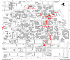
UC Berkely Campus Map
63 miles away
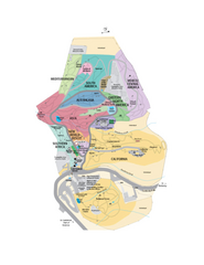
UC Botanical Gardens Map
Unfortunately this is a copy of an interactive map, so is slightly blurred at full size
63 miles away
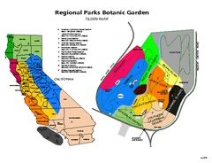
Tilden Regional Park and Native Plant Garden Map
63 miles away
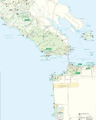
Golden Gate National Recreation Area Detail Map
64 miles away
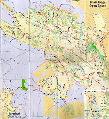
Shell Ridge Open Space Trail Map
Trail map of Shell Ridge Open Space, Walnut Creek's largest open space unit, with trails for...
64 miles away
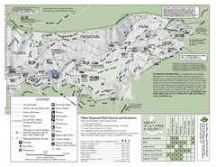
Tilden Regional Park Map - South
64 miles away
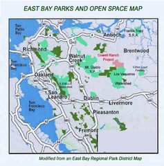
Eastbay Parks and Open Spaces Map
65 miles away
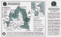
Angel Island State Park Map
Map of park with detail of trails and recreation zones
65 miles away
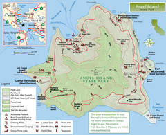
Angel Island State Park Map
Official map of Angel Island State Park in the San Francisco Bay. Shows paved and unpaved roads...
65 miles away
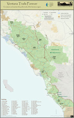
Ventana Wilderness Trails Map
Trail map of the Ventana Wilderness east of Big Sur. Also shows trails in the Silver Peak...
65 miles away
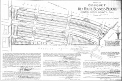
1914 Bouquet Key Route Business Block Map
This map shows the borders of the Bouquet Business District in Contra Costa County, CA
66 miles away
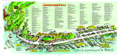
Sausalito Tourist Map
Visitor map of Sausalito, California. Shows restaurants, shopping, and other points of interest
66 miles away
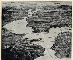
1936 San Francisco Bay Area Map Part 1
Guide to the San Francisco Bay Area in 1936, hand drawing over photograph
66 miles away
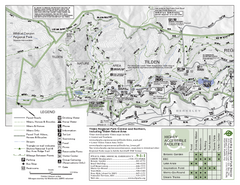
Tilden Regional Park Map - North
66 miles away
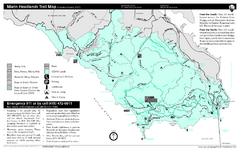
Marin Headlands Trail Map
Trail map of Marin Headlands in Marin County, California. Shows trails with distances by use type...
67 miles away
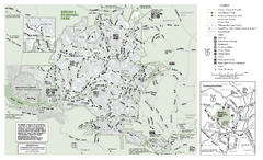
Briones Regional Park Trail Map
Trail map of Briones Regional Park in East Bay.
67 miles away
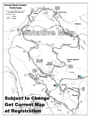
Grizzly Peak Century North Loop Route Map
Road bike route map of the north loop in the Grizzly Peak Century Ride. From site: "The...
67 miles away
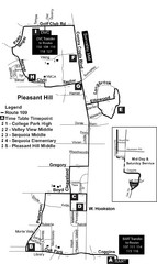
Pleasant Hill, CA Map
67 miles away
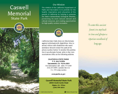
Caswell Memorial State Park Map
Map of park with detail of trails and recreation zones
68 miles away
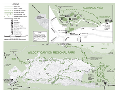
Wildcat Canyon Regional Park Map
68 miles away
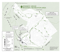
Kennedy Grove Recreation Area Trail Map
222-acre park
68 miles away
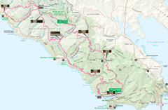
Headlands 50K Map (for 2011 race and future races)
Course For 2011 Headlands 50K
69 miles away
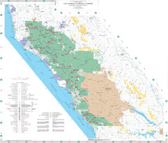
Los Padres National Forest Map - North
Overview map of the northern section of Los Padres National Forest in the Monterey Ranger District...
69 miles away
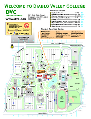
Diablo Valley College Map
69 miles away
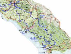
Golden Gate Headlands 50k Course Map
Here is a map of the 31-mile course for the Golden Gate Headlands: USATF National 50K Trail...
69 miles away
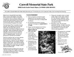
Caswell Memorial State Park Campground Map
Map of park with detail of trails and recreation zones
70 miles away

