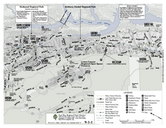
Anthony Chabot Regional Park Map - North
Trail map of the north section of Anthony Chabot Regional Park in the East Bay Hills.
56 miles away
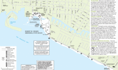
Crown Memorial State Beach Map
57 miles away
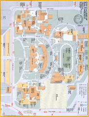
City College of San Francisco - Ocean Campus Map
City College of San Francisco - Ocean Campus Map. All buildings shown.
57 miles away
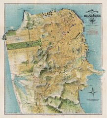
Chevalier map of San Francisco (1912)
Breathtaking map of San Francisco in 1912 by August Chevalier from the BIG Map Blog by way of DRMC.
57 miles away
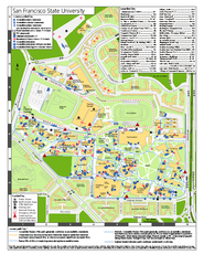
San Francisco State University Map
Campus map of San Francisco State University. All areas shown.
57 miles away
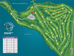
Harding Park Golf Course Map
Course map of Harding Park Golf Course in San Francisco, CA. 18 hole, par 70 course
58 miles away
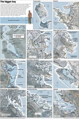
San Francisco Sea Level Rise Map
Guide to the San Francisco Bay Area, and the areas that will be underwater if there is a 1 meter...
58 miles away
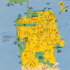
San Francisco City Map
City map of San Francisco with Lowell High School highlighted
58 miles away
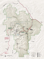
Pinnacles National Monument Map
58 miles away
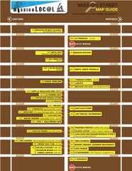
San Francisco Mission Restaurant Map
58 miles away
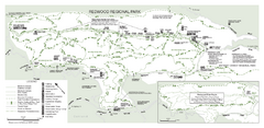
Redwood Regional Park Map
Trail map of Redwood Regional Park in Oakland, California. Shows hiking, horse, and bike trails.
59 miles away
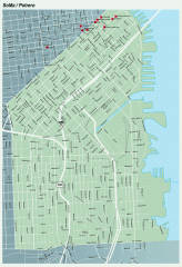
SoMa, Potrero Hill tourist map
Tourist map of SoMa and Potrero Hill in San Francisco
59 miles away
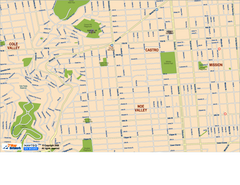
Downtown San Francisco: Castro and Noe Valley Map
Tourist map of the Castro and Noe Valley area in downtown San Francisco, California. Shows Twin...
59 miles away
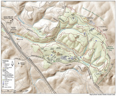
Joaquin Miller Park Map
Trail map of Joaquin Miller Park in Oakland, California. 500 acre park 9 miles from downtown...
59 miles away
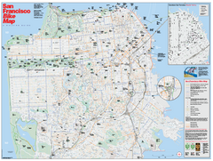
San Francisco Bike Map
Map showing bike paths, bike lanes, bike shops, public transportation, and grades of hills in San...
59 miles away
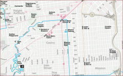
Castro, Mission, Haight-Ashbury, Noe Valley map
Tourist map of Castro, Mission, Haight-Ashbury, Noe Valley, and Twin Peaks in San Francisco
59 miles away
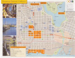
Oakland Tourist Map
Tourist map of downtown Oakland, California. Shows shopping districts.
59 miles away
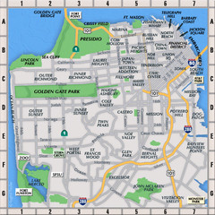
San Francisco Neighborhoods Map
59 miles away

Downtown Oakland, California Map
Tourist map of downtown Oakland, California. Shows museums, parks, neighborhoods of interest and...
59 miles away
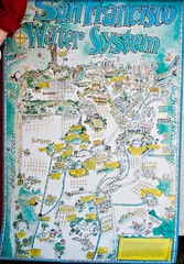
San Francisco Water System Cartoon Map
Cartoon map of the San Francisco Water System. From photo of poster from San Francisco Public...
59 miles away
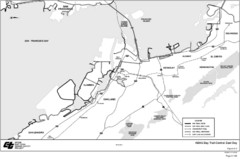
Bay Area, CA Bike Map
59 miles away
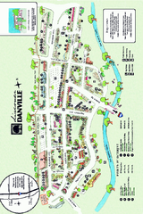
Walking Map of Downtown Danville, California
Tourist walking map of downtown Danville, California. Shows restaurants, shops, visitor's...
59 miles away
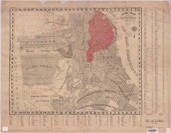
1907 San Francisco Earthquake Map
Map of areas destroyed by fire after 1906 earthquake
59 miles away
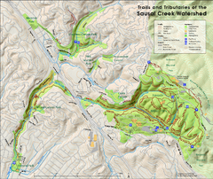
Sausal Creek Watershed Trail Map
Trail map of the Sausal Creek Watershed in Oakland, California. Show trails in Joaquin Miller Park...
59 miles away
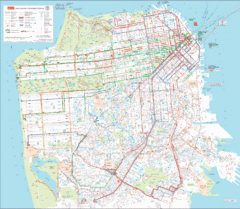
San Francisco Public Transportation map
Transit Muni system map shows all bus, subway metro, cable car, and streetcar routes.
59 miles away
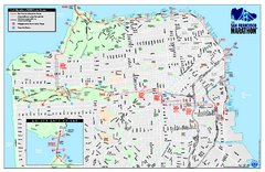
San Francisco 2009 Marathon Map
Guide to the 2009 San Francisco Marathon and Half Marathon
59 miles away
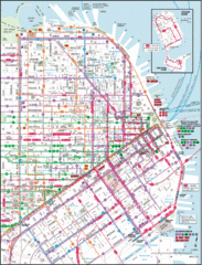
San Francisco Map
Highly detailed map of San Francisco roads and transportation.
59 miles away

Bay to Breakers race course Map
Bay to Breakers course. Held annually on the third Sunday in May. "ING Bay to Breakers...
59 miles away
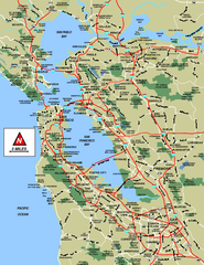
San Francisco Bay Area Map
59 miles away

San Francisco Bay Area Faults and Earthquake...
59 miles away
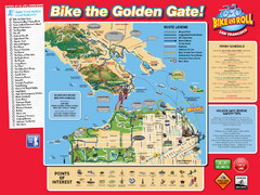
San Francisco Bike Map
59 miles away

Municipal Railway Map
59 miles away
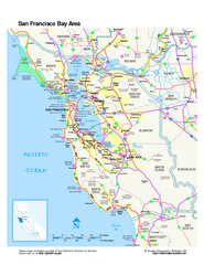
San Francisco Bay Area Map
Overview road map of the San Francisco Bay Area, California
59 miles away
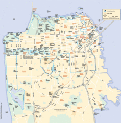
San Francisco Neighborhood Map
Neighborhood map of San Francisco, CA. Shows 49 mile scenic drive.
59 miles away

Double Decker Tour Bus Map
59 miles away

San Francisco Historic Rail Map
Map of San Francisco historic rail lines
59 miles away
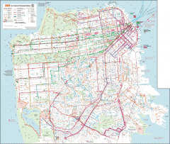
San Francisco Muni system map
Transit Muni system map shows all bus, subway metro, cable car, and streetcar routes.
60 miles away

1852 San Francisco Map
Guide to San Francisco, prior to 1852
60 miles away
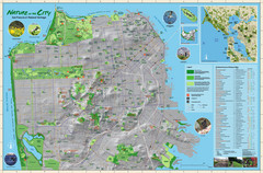
San Francisco Natural Heritage Map
Shows San Francisco's natural habitats and biodiversity is filled with fun facts, restoration...
60 miles away
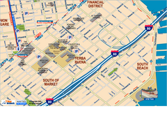
Downtown San Francisco: South of Market, Yerba...
Tourist map of South of Market (SOMA), Yerba Buena Center, and South Beach areas in downtown San...
60 miles away

