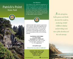
Patrick's Point State Park Map
Map of park with detail of trails and recreation zones
310 miles away
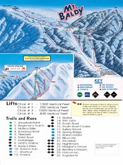
Mount Baldy Trail Map
310 miles away

Long Beach, California City Map
310 miles away
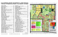
California State University at Long Beach Map
Campus Map of California State University at Long Beach. All buildings shown.
311 miles away
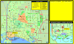
Bike Routes, Long Beach, California Map
Bicycle path map of Long Beach, California. Shows bike paths, bike centers, and public...
311 miles away
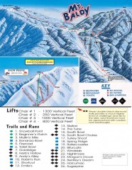
Mt. Baldy Ski Trail Map
Official ski trail map of Mount Baldy Ski Lifts ski area
311 miles away

Pacific Crest Trail Map
Shows entire route of 2,650 mile Pacific Crest Trail from Mexico to Canada.
311 miles away
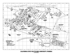
Cal Poly Pomona Map
Cal Poly Pomona Campus Map. All areas shown.
311 miles away
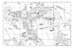
Cal Poly Pomona Campus Map
311 miles away
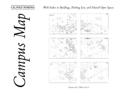
Cal Poly Pomona Map
311 miles away
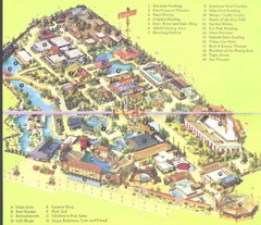
Japanese Village and Deer Park Map
Large and clear map.
312 miles away
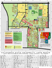
CSU Long Beach Campus Map
312 miles away
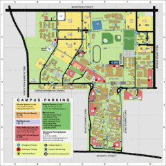
California State University Long Beach Map
Parking and Visitor Map of CSU Long Beach. Shows locations of all buildings, streets, and detailed...
312 miles away
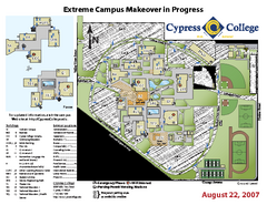
Cypress College Campus Map
Cypress College Campus Map. All buildings shown.
314 miles away
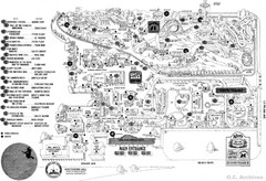
Knott's Berry Farm, Halloween 1976 Map
314 miles away
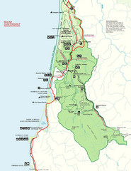
Prairie Crek State Park Map
315 miles away
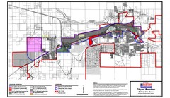
City of Barstow Zoning Map
Map illustrates the zoning and boundary areas of the city of Barstow.
315 miles away
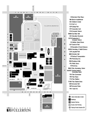
California State University at Fullerton Map
Campus Map of California State University at Fullerton. All buildings shown.
316 miles away
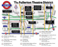
Fullerton, CA Theatre District Map
316 miles away
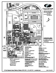
Fullerton College Campus Map
Fullerton College Campus Map. Shows all buildings.
316 miles away
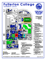
Fullerton College Campus Map 2010
Campus map of Fullerton College in Fullerton, California. Shows all buildings. Updated for Summer...
316 miles away
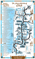
Orick Redwood National Park Map
318 miles away

Downtown Anaheim, California Map
Tourist map of Anaheim, California. Shows Disneyland, Anaheim Convention Center, and other points...
318 miles away
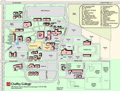
Chaffey College Rancho Cucamonga Campus Map
Chaffey College Rancho Cucamonga Campus Map. All buildings shown.
318 miles away
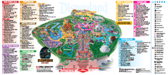
Disneyland Theme Park map
Official map of Disneyland Park. Park includes Main Street USA, New Orleans Square, Frontierland...
319 miles away

Disneyland Theme Park map
Illustrated map of Disneyland in Anaheim, CA showing different theme parks, hotels, and nearby...
319 miles away
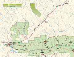
Chino Hills State Park NW Map
Map of NW portion of park with detail of trails and recreation zones
319 miles away
Bolsa Chica State Beach Map
Map of park with detail of of trails and recreation zones
319 miles away

Anaheim Resort Map
Anaheim Resort Map, shows locations of Disneyland Theme Parks, and all restaurants, hotels, grocery...
319 miles away
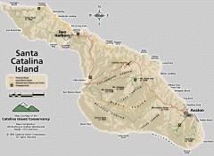
Santa Catalina Island road and trail map
Shows all roads, trails, and campgrounds on Santa Catalina Island.
320 miles away
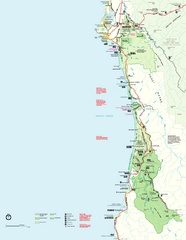
Redwood National Park Map
Official NPS map of Redwood National Park, California. Also shows Jedediah Smith Redwoods State...
320 miles away
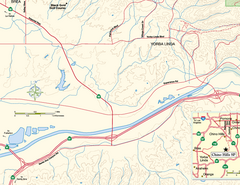
China Camp State Park SW Map
Map of SW portion of park with detail of trails and recreation zones
320 miles away
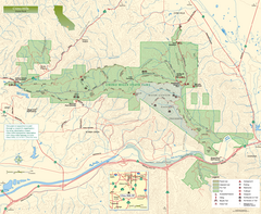
Chino Hills State Park Map
Overview map of park with detail of trails and recreation zones
321 miles away
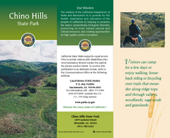
Chino Hills State Park Map
Map of park with detail of trails and recreation zones
321 miles away
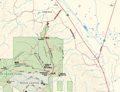
Chino Hills State Park NE Map
Map of NE portion of park with detail of trails and recreation zones
321 miles away
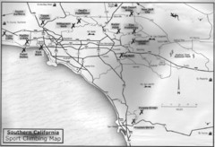
Southern California Sport Climbing Map
Guide to major sport climbing areas in Southern California
322 miles away
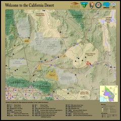
California Desert Recreation Map
Shows points of interest for recreational activities in the California desert
322 miles away
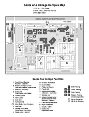
Santa Ana College Campus Map
Santa Ana College Campus Map. All buildings shown.
323 miles away
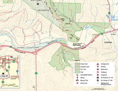
Chino Hills State Park SE Map
Map of SE portion park with detail of trails and recreation zones
323 miles away

California Bio-science Company Map
Shows logos of biotech companies in California from San Francisco to San Diego.
324 miles away

