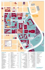
Santa Clara University Campus Map
Campus map of Santa Clara University
26 miles away
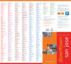
Walking Guide to Downtown San Jose, California Map
Tourist walking map of downtown San Jose, California. Lists and shows locations of dining, art...
27 miles away
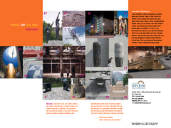
Public Art in Downtown San Jose, California Map
Shows locations of public art in downtown San Jose, California, as well as public transportation...
27 miles away
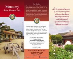
Monterey State Historic Park Map
Map of park with detail of trails and recreation zones
27 miles away
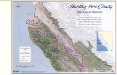
Monterey Wine Country: Appellation Overview Map
The Monterey region is world-famous for unparalleled scenic beauty, golf, and cuisine. Millions of...
27 miles away
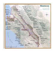
Monterey Wine Country: Appellation Overview Map
The Monterey region is world-famous for unparalleled scenic beauty, golf, and cuisine. Millions of...
27 miles away
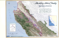
Monterey Wine Country: Appellation Overview Map
The Monterey region is world-famous for unparalleled scenic beauty, golf, and cuisine. Millions of...
27 miles away
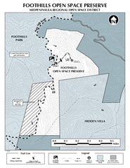
Foothills Regional Open Space Preserve Map
Preserve map of 212 acre Foothills Regional Open Space Preserve. A 0.4 mile trail leads from Page...
27 miles away
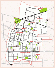
Sunnyvale map 94087 - City Parks
City parks map for Sunnyvale, California 94087. Go to the Sunnyvale Parks and Recreation site to...
27 miles away
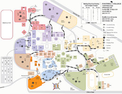
Foothill College Campus Map
Campus map of Foothill College in Los Altos Hills, CA for 2008-2009.
27 miles away
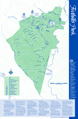
Palo Alto Foothills Park Map
Trail map of Palo Alto Foothills Park. 1400 acres and 15 miles of trails.
27 miles away
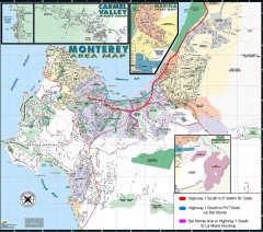
Monterey Area Map
Shows Monterey / Carmel area. Has legend on it with route highlighted to Naval housing.
28 miles away
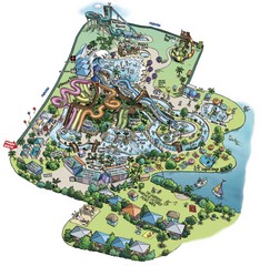
Raging Waters San Jose Map
Simple map of this fun water park for the whole family!
28 miles away
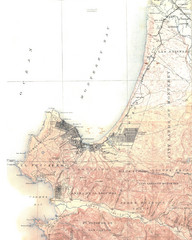
Monterey Map
29 miles away
San Juan Bautista State Historic Park Map
Map of park with detail of trails and recreation zones
29 miles away
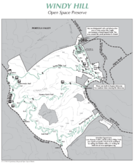
Windy Hill Open Space Preserve Map
Trail map of Windy Hill Open Space Preserve. 1312 acres and 12.2 miles of trails
29 miles away
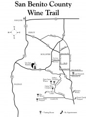
San Benito County Wine Trail Map
Wineries in the San Benito County, California area.
29 miles away

Arastradero Preserve Map
Trail map of Arastradero Preserve shows 10.25 miles of trails.
29 miles away
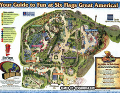
Six Flags Great America Map
29 miles away
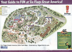
Six Flags Great America Map
29 miles away
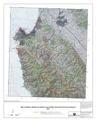
Monterey Peninsula and Carmel River Watershed...
This map contains a digital raster graphic topographic base map of the Monterey Peninsula Water...
31 miles away

Laguna Seca Raceway Map
Overview map of the Laguna Seca Raceway. Shows track, parking, and facilities.
31 miles away

Toro County Park Map
Trails of Toro County Park, Salinas Ca.
32 miles away
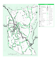
Joseph D. Grant County Park Map
Trail map of Joseph D Grant County Park in Santa Clara County, California
32 miles away
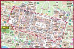
Cardinal Walk Map
Map of Stanford University campus with Cardinal Walk detail
32 miles away
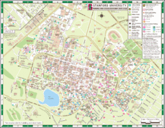
Stanford University Map
A map of the Stanford University campus.
32 miles away
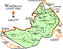
Wunderlich County Park Map
Trail map of Wunderlich County Park near Woodside, California. "The Alambique Trail offers a...
32 miles away
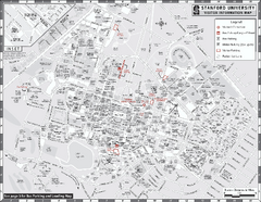
Stanford University Map
Stanford University Campus Map. All buildings shown.
33 miles away

Fremont Peak State Park Map
Map of park with detail of trails and recreation zones
33 miles away

Palo Alto Baylands Nature Preserve Map
Map of the Palo Alto Baylands Nature Preserve in Palo Alto, CA. Shows trails, including part of...
33 miles away
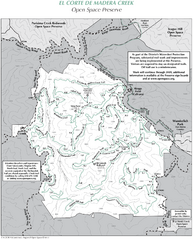
El Corte de Madera Open Space Preserve Map
Trail map of El Corte de Madera Open Space Preserve. Shows all mountain biking, hiking, and...
34 miles away
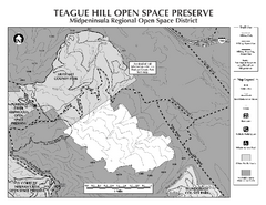
Teague Hill Open Space Preserve Map
Trail map of Teague Hill Open Space Preserve near Woodside, California. Only one trail enters a...
34 miles away
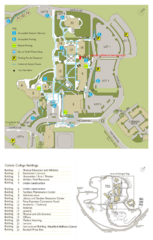
Cañada College Campus Map
Campus map of Cañada College, Redwood City, CA. Shows buildings.
35 miles away
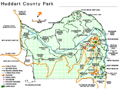
Huddart County Park Map
Trail map of Huddart County Park near Woodside, California.
35 miles away
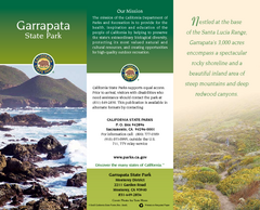
Garrapata State Park Map
Map of park with detail of trails and recreation zones
36 miles away
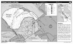
Phleger Estate Trail Map
Trail map of Phleger Estate, part of the Golden Gate National Recreation Area, in Woodside...
36 miles away
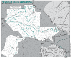
Purisima Open Space Preserve Map
Trail map of Purisima Open Space Preserve. Shows all mountain biking, hiking, and horseback riding...
36 miles away
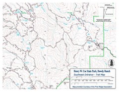
Henry W. Coe State Park, Dowdy Ranch Map
Henry W. Coe State Park Southeast Entrance Trail Map.
36 miles away
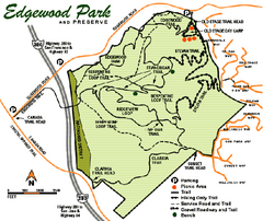
Edgewood County Park Trail Map
Trail map of Edgewood Park and Preserve in Redwood City, California.
37 miles away
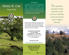
Henry W. Coe State Park Map
Map of park with detail of trails and recreation zones
37 miles away

