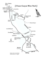
Foxen Canyon Wine Trail Map
Foxen Canyon area wineries and vineyards, near Santa Barbara, California.
188 miles away
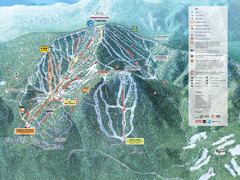
Northstar-at-Tahoe Ski Trail Map
Official trail map of Northstar-at-Tahoe ski area from the 2009-2010 season
189 miles away
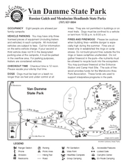
Russian Gulch State Park Campground Map
Map of campground region of park with detail of trails and recreation zones
189 miles away
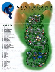
Michael Jackson's Neverland Ranch Map
Map shows all points of interest at Michael Jackson's Neverland Ranch near Los Olivos, CA.
189 miles away
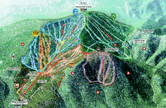
Northstar Ski Trail Map
Official ski trail map of Northstar-at-Tahoe ski area from the 2007-2008 season.
189 miles away
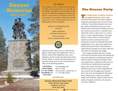
Donner Memorial State Park Map
Map of park with detail of trails and recreation zones
189 miles away
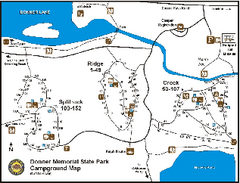
Donner Memorial State Park Campground Map
Map of park with detail of trails and recreation zones
189 miles away

Tahoe Donner Ski Trail Map
Trail map from Tahoe Donner, which provides downhill, night, and nordic skiing. It has 3 lifts...
190 miles away
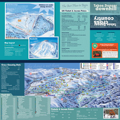
Tahoe Donner Cross Country Ski Trail Map
Ski trail map of Tahoe Donner Association. Shows both downhill and cross-country ski trails...
191 miles away
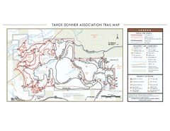
Tahoe Donner Ski Trail Map
Official ski trail map of Tahoe Donner Association. Shows both downhill and cross-country ski...
191 miles away
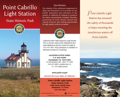
Point Cabrillo Light Station State Historic Park...
Map of park with detail of trails and recreation zones
191 miles away
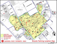
California State University, Chico Bike Parking...
Map that highlights all the available bike parking area and bike routes throughout the campus and...
191 miles away
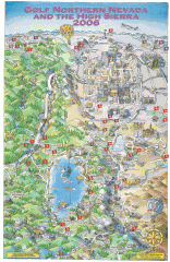
Reno and Lake Tahoe Area Golf map
Illustrated map showing all golf courses in the Reno/lake Tahoe area, 2006 version. To view more...
192 miles away
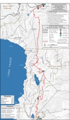
Tahoe Rim Trail: Tahoe Meadows to Spooner Summit...
Topographic hiking map of the Tahoe Meadows-Spooner Summit leg of the Tahoe Rim Trail. Shows bike...
193 miles away
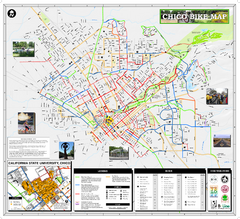
Chico Bike Map
Bicycle route map of Chico, California
193 miles away

Chico, California City Map
193 miles away
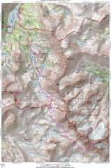
North Palisade South Lake Route Topo Map
Topo map of route from South Lake to North Palisade, 14,242 ft.
193 miles away
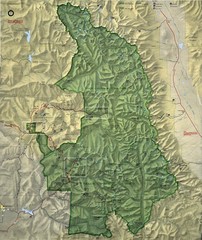
King Canyon and Seqouia Nationa Parks Map
194 miles away

California Aquaduct Map in Kern County
The California Aqueduct is the principal water conveyance structure for the California State Water...
194 miles away
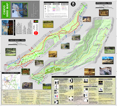
Upper and Lower Bidwell Park Bike Map
Bike map of Upper Bidwell Park and Lower Bidwell Park in Chico, California
195 miles away
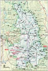
Sequoia National Park map and Kings Canyon...
Official park map of Sequoia National Park and Kings Canyon National Park.
195 miles away
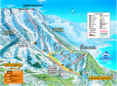
Diamond Peak Ski Trail Map
Trail map from Diamond Peak.
195 miles away
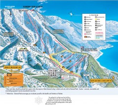
Diamond Peak Ski Trail Map
Official ski trail map of Diamond Peak ski area from the 2007-2008 season.
195 miles away

Buena Vista Lakes Map
Buena Vista Aquatic Recreation Area is located off of Taft Highway, 23 miles southwest of...
196 miles away
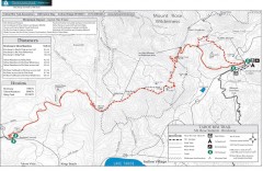
Tahoe Rim Trail: Brockway Summit to Tahoe Meadows...
Trail map of the Brockway Summit-Tahoe Meadows leg of the Tahoe Rim Trail. Bike trails, hiking...
196 miles away
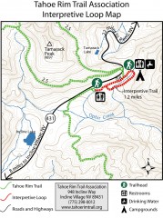
Tahoe Rim Trail: Interpretive Loop, Lake Tahoe...
Trail map of the Tahoe Rim Trail's Interpretive Loop Trail. Shows both trails, camping...
196 miles away

Buena Vista Aquatic Recreation Area, Lake Webb...
196 miles away
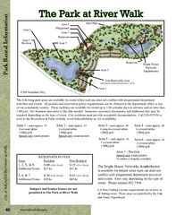
The Park at Riverwalk, Bakersfield California Map
Map of The Park at Riverwalk in Bakersfield California, including the fees for reservable areas.
197 miles away

Bakersfield Commons Site Features Map
198 miles away

Bakersfield Commons Conceptual Site Plan Map
198 miles away

Bakersfield Commons Phase 1 Alt Map
198 miles away

Bakersfield Commons Existing and Proposed Zoning...
198 miles away
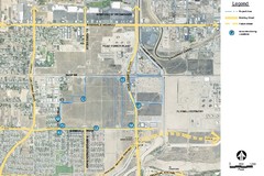
Bakersfield Commons Noise Monitoring Map
198 miles away

Bakersfield Commons Site Existing Conditions Map
198 miles away

Bakersfield Commons Proposed Retention Areas Map
198 miles away
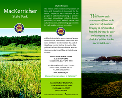
MacKerricher State Park Map
Map of park with detail of trails and recreation zones
198 miles away
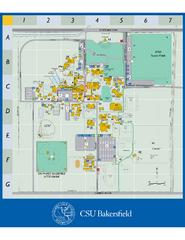
California State University Bakersfield Map
Campus map of California State University Bakersfield.
198 miles away
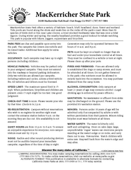
MacKerricher State Park Campground Map
Map of campground region of park with detail of trails and recreation zones
199 miles away

Town & Country Village Shopping Center in...
199 miles away

Carson River Aquatic Trail Map
199 miles away

