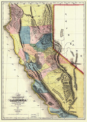
1851 California Regional Map
Great quality map of Californian regions in 1851.
145 miles away
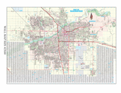
Bakersfield, California City Map
145 miles away
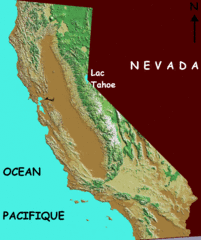
California elevation Map
California map showing elevations by contours, with Lake Tahoe identified.
145 miles away
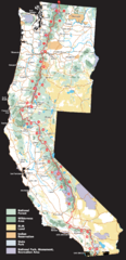
Pacific Crest Trail Route Overview Map
Western United States Map showing National Forests, State Parks, National Parks, Indian...
145 miles away
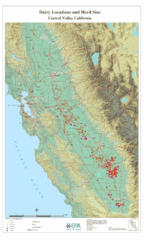
Dairy Locations and Herd Size for the Central...
Map of dairy locations, displayed by herd size in California's Central Valley. Base map...
145 miles away
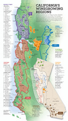
California Wine Map
Wine region map of state of California. Shows 100 American Viticultural Areas (AVAs). There are 4...
145 miles away

John Muir Trail Elevation Map
Profile, Elevation, Landmarks and Mileage for the John Muir Trail entertainment not accurate enough...
145 miles away
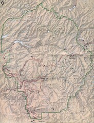
Yosemite National Park Map
Yosemite National Park Map. Shows location of all hiking trails, camp grounds, visitor center and...
145 miles away
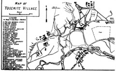
Yosemite Village Guide Map
146 miles away
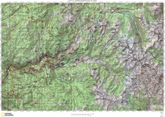
Island Pass to Yosemite Village Topo Map
146 miles away
Auburn State Recreation Area Map
Map of park with detail of of trails and recreation zones
146 miles away
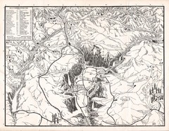
Yosemite National Park Map
Map of Yosemite National Park, 1948
147 miles away
Clear Lake State Park Map
Map of park with detail of trails and recreation zones
147 miles away

Yosemite National Park Guide Map
Guide map of Yosemite National Park
147 miles away
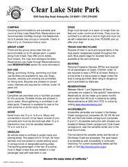
Clear Lake State Park Campground Map
Map of park with detail of trails and recreation zones
147 miles away
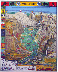
Yosemite National Park Visitor Map
Colorful Visitor Map of Yosemite National Park. Illustrates location of hiking trails, camp...
148 miles away
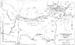
Yosemite Valley Automobile Guide Map 1963
Yosemite Valley and Vicinity with Elevations
148 miles away
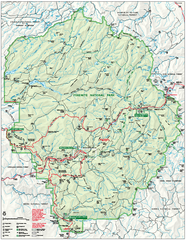
Yosemite National Park official map
Official park map showing trails, roads, campgrounds, ranger stations, parking, picnic areas, and...
148 miles away
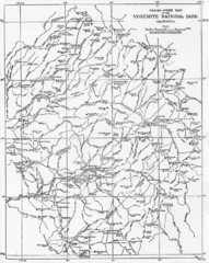
1914 Yosemite National Park Map
149 miles away
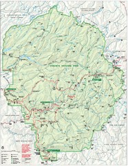
Yosemite National Park Map
Detailed Park Map of Yosemite National Park. Includes all camping areas, trails, roads...
149 miles away
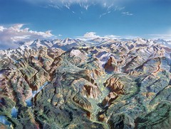
Yosemite oblique Map
Oblique Panorama map of Yosemite National Park
149 miles away
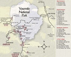
Yosemite National Park Map
149 miles away
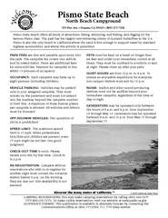
Pismo Beach North Campground Map
Map of park with detail of trails and recreation zones
149 miles away
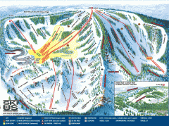
Bear Valley Ski Trail Map
Official ski trail map of Bear Valley ski area from the 2007-2008 season.
151 miles away
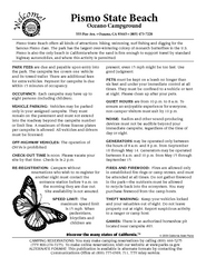
Pismo Beach Oceano Campground Map
Map of oceano campground region of park with detail of trails and recreation zones
151 miles away
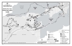
Ebbetts Pass Area Map
Guide to Winter Recreation at Ebbetts Pass
151 miles away
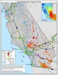
Concentrating Solar Power Prospects California Map
Shows power plants, concentrating solar resources, and transmission lines for all of California...
152 miles away

Yosemite Valley Park Map
Guide Map of the Yosemite National Forest
152 miles away
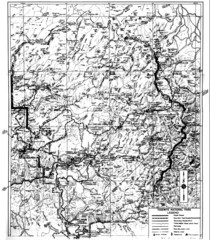
1931 Yosemite National Park Map
Yosemite National Park Map with trails and elevations
154 miles away
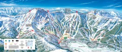
Kirkwood Ski Trail map 2006-07
Official ski trail map of Kirkwood ski area for the 2006-2007 season.
159 miles away
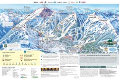
Kirkwood Ski Trail Map
Trail map from Kirkwood, which provides downhill, nordic, and terrain park skiing. It has 14 lifts...
160 miles away
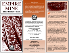
Empire Mine State Historic Park Map
Map of park with detail of trails and recreation zones
163 miles away
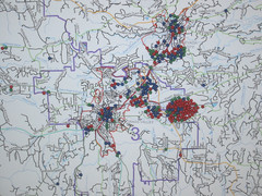
Nevada County Economic Resource Council Activity...
The ERC supports many different businesses in western Nevada County. We provide business assistance...
164 miles away
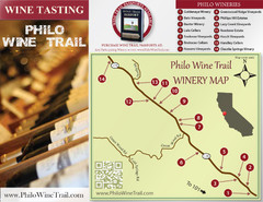
Philo Wine Map
Shows wineries great for wine tasting in the Anderson Valley along Route 128 in Philo California.
164 miles away
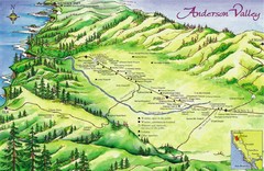
Anderson Valley Wine Map
Shows wineries/vineyards in Anderson Valley, California along Route 128 from Navarro, California to...
165 miles away
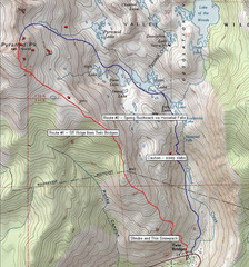
Pyramid Peak Ski Route Map
Backcountry ski route map of Pyramid Peak 9983 ft in the Desolation Wilderness near Lake Tahoe...
165 miles away
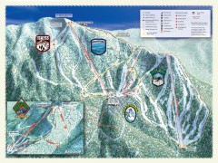
Sierra-at-Tahoe Ski Trail Map
Official ski trail map of Sierra-at-Tahoe ski area from the 2007-2008 season.
165 miles away
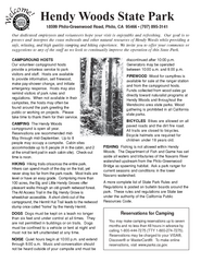
Hendy Woods State Park Campground Map
Map of campground region park with detail of trails and recreation zones
165 miles away
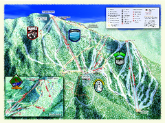
Sierra-at-Tahoe Ski Trail Map
Trail map from Sierra-at-Tahoe, which provides downhill and terrain park skiing. It has 12 lifts...
165 miles away

Sierra High Route Map
Guide to the Sierra High Route, one of the most challenging treks in the Sierras
165 miles away

