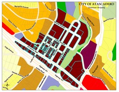
City of Atascadero Map
128 miles away
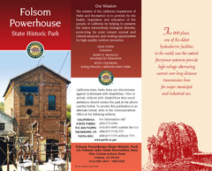
Folsom Powerhouse State Historic Park Map
Map of park with detail of trails and recreation zones
129 miles away
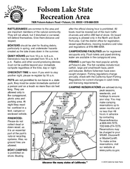
Folsom Lake State Recreation Area Campground Map
Map of park with detail of trails and recreation zones
130 miles away
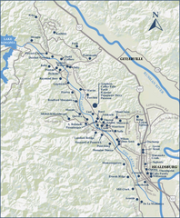
Dry Creek Valley Wineries, California Map
Map of wineries in Dry Creek Valley, California. Shows wineries and roads.
131 miles away
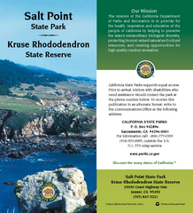
Salt Point State Park Map
Map of park with detail of trails and recreation zones
131 miles away
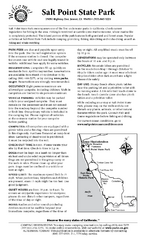
Salt Point State Park Campground Map
Map of campground region of park with detail of trails and recreation zones
131 miles away
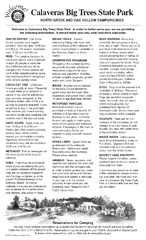
Calaveras Big Trees State Park Map
Map of park with detail of trails and recreation zones
131 miles away
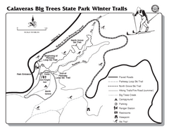
Calaveras Big Trees State Park Winter Map
Map of park with detail of winter ski trails and recreation zones
131 miles away
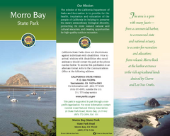
Morro Bay State Park Map
Map of park with detail of trails and recreation zones
131 miles away

Rockville Hills Regional Park Map
Trail Map, Two small lakes, picnic areas
131 miles away
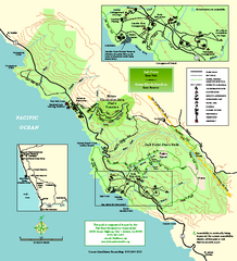
Salt Point State Park Map
Topo park map of Salt Point State Park and Kruse Rhododendron State Reserve. Shows trails by use...
132 miles away

Millerton Lake State Recreation Area Park Map
Map of park with detail of trails and recreation zones
133 miles away
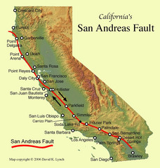
San Andreas Fault, California Map
133 miles away
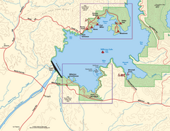
Millerton Lake State Recreation Area SW Map
Map of SW region of park with detail of trails and recreation zones
133 miles away
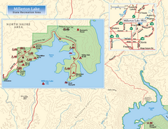
Millerton Lake State Recreation Area NW Map
Map of NW region of park with detail of trails and recreation zones
133 miles away

Millerton Lake State Recreation Area NE Map
Map of NE region of park with detail of trails and recreation zones
133 miles away
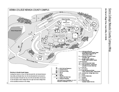
Sierra College Campus Map
Sierra College Campus Map. All buildings shown.
134 miles away
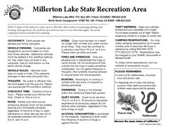
Millerton Lake State Recreation Area Campground...
Map of campground region of park with detail of trails and recreation zones
134 miles away
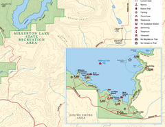
Millerton Lake State Recreation Area SE Map
Map of SE region of park with detail of trails and recreation zones
134 miles away
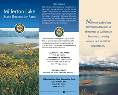
Millerton Lake State Recreation Area Map
Map of park with detail of trails and recreation zones
134 miles away
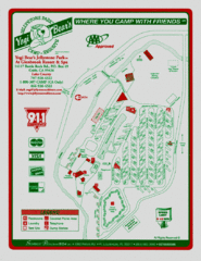
Jellystone Park at Glebrook Resort & Spa Map
136 miles away
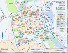
Cal Poly Campus Map
Cal Poly University at San Luis Obispo Campus Map. Includes all buildings, streets, sports fields...
138 miles away
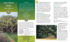
Los Osos Oaks State Reserve Map
Map of reserve with detail of trails and recreation zones
138 miles away
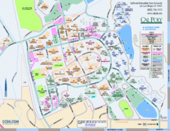
Cal Poly Campus Map
Campus map of California Polytechnic State University in San Luis Obispo, CA
138 miles away
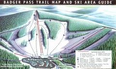
Badger Pass Ski Trail Map
Official ski trail map of Badger Pass ski area
139 miles away
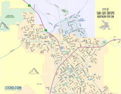
San Luis Obispo City Map - Northern Portion
City map of northern portion of San Luis Obispo, California
139 miles away
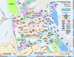
California Polytechnic State University Map
California Polytechnic State University Campus Map. All buildings shown.
140 miles away
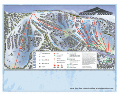
Dodge Ridge Ski Area Ski Trail Map
Trail map from Dodge Ridge Ski Area, which provides downhill, nordic, and terrain park skiing. It...
141 miles away
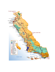
California Central Coast Map
Large tourist map of California's Central Coast. From Monterey to Santa Barbara. Shows all...
142 miles away
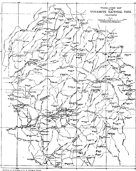
Yosemite Park Map (before development)
Map of Yosemite Park before valley development, showing only Portal Road
142 miles away
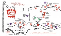
Apple Hill tourist map
Map of Apple Hill growers in Camino, California. Shows vineyards and orchards.
143 miles away
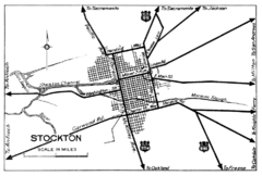
Stockton, California City Map
143 miles away
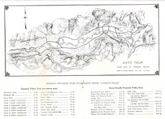
Yosemite Valley Auto Tour Map
Auto tour guide map of Yosemite, 1937
144 miles away
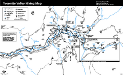
Yosemite Valley Trail Map
Trail map of hiking trails in Yosemite Valley, Yosemite National Park, California.
144 miles away
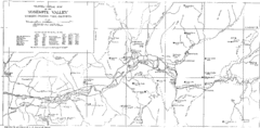
Yosemite Valley Map
Map of the valley and key elevations
145 miles away
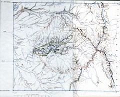
Proposed Yosemite National Park Map 1890
John Muir's map of proposed Yosemite National Park, California. Green is the original 1864...
145 miles away
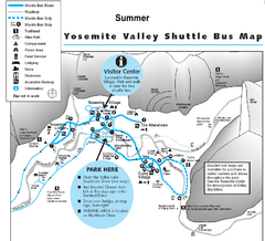
Yosemite Valley Shuttle Map
145 miles away
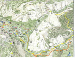
Half Dome view from Glacier Point Map
145 miles away
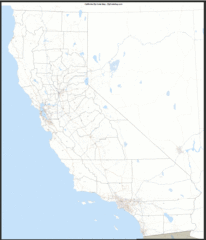
California Zip Code Map
Check out this Zip code map and every other state and county zip code map zipcodeguy.com.
145 miles away


