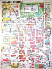
Times Square Map
Map of the Times Square area of New York City. Shows all areas.
1 mile away
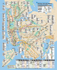
New York City MTA Subway Map
Official subway map for New York City
1 mile away
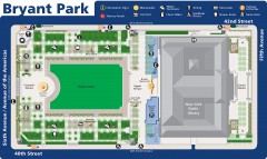
Map of Bryant Park
Map of Bryant Park in New York City
1 mile away
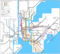
New York Subway Map
The subway and nearby railways in New York City
1 mile away

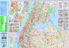
Manhattan Bus Map
1 mile away
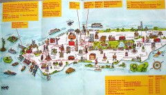
Manhattan Citysites Tour map
Map of the Citysites bus tour routes in Manhattan, New York.
1 mile away
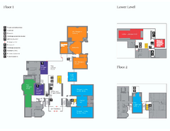
The Morgan Library Floor Plan, New York Map
The Morgan Library Floor Plan. Shows all floors and exhibits. Located at Madison Avenue and 36th...
2 miles away
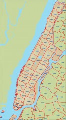
New York City zipcode map
Map of zipcodes in Manhattan and the outer boroughs of New York City.
2 miles away
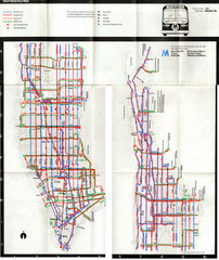
1974 Manhattan Bus Map
2 miles away
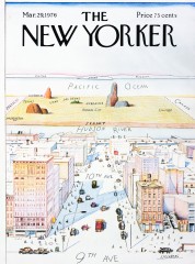
A View of the World from 9th Avenue (Map)
Famous Saul Steinberg New Yorker Magazine cover from 1976 depicts a New Yorker's egocentric...
2 miles away
Riverside Park Map
Map of Riverside Park, New York. Illustrates all recreational activities, trails, bus stops and...
2 miles away
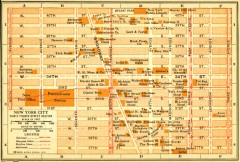
Antique map of Manhattan from 1916
"Thirty Fourth Street Section" from Rider's New York City, Henry Holt and Company...
2 miles away
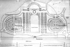
Central Park Conservatory Garden Map
Map of the Conservatory Garden in Central Park, New York City. Photo of outdoor map.
2 miles away
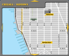
Chelsea Midtown New York City Hotel Map
2 miles away
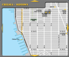
Chelsea Midtown New York City Map
2 miles away

Manhattan Neighborhood map
Excellent New York City neighborhood map created by graphic designer Alexander Cheek
2 miles away
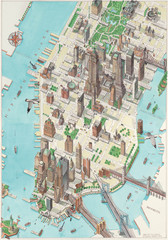
Manhattan New York Map
Aerial map of New York illustrated by UK illustrator Katherine Baxter.
2 miles away
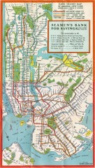
New York Subway Map, 1930
A New York City subway map from the 1930s
2 miles away
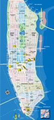
Manhattan Tourist Map
Tourist map of Manhattan, showing Museums, buildings of interest, and various neighborhoods.
2 miles away
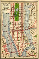
Antique map of Manhattan from 1916
"New York City Battery to 110th Street" from Rider's New York City, Henry Holt and...
2 miles away
Upper Riverside Park Map
Riverside Park Map, Visitor Information as well as streets, bus routes, places to jog and bike.
3 miles away
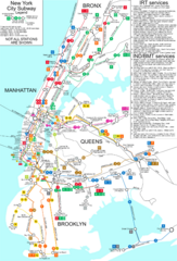
New York City Subway Map
Map of NYC subway transit system and stops
3 miles away
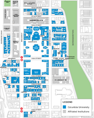
Columbia University Map
Campus map of Columbia University. All buildings shown.
3 miles away
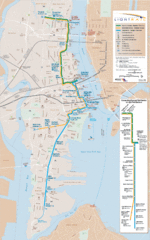
Hudson-Bergen Lightrail Map
Alternative transportation within the city.
3 miles away
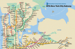
New York City Subway Map
Official MTA map of the NYC subway system... note not drawn to scale.
3 miles away
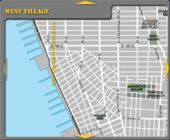
West Village New York City Tourist Map
3 miles away
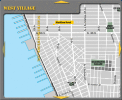
West Village New York City Hotel Map
3 miles away

Manhattan Waterfront Greenway Bike Map
Bike map of the Manhattan Waterfront Greenway. Shows walking and biking paths, ferry landings and...
3 miles away
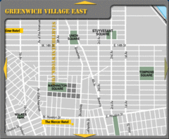
Greenhich Village New York City Hotel Map
3 miles away
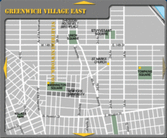
East Greenwich Village New York City Tourist Map
3 miles away
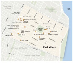
East Village walking tour map
Walking tour of the East Village in New York City, showing points of interest.
3 miles away

Broadway Elevation Map
Illustrative section of Broadway, from 125th Street to 134th Street, looking east
3 miles away
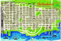
Hoboken Walking Tour map
Walking tour map of Hoboken, NJ. Shows points of interest.
3 miles away
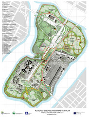
Randall's Island Park Map
Master plan for Randall's Island Park
3 miles away
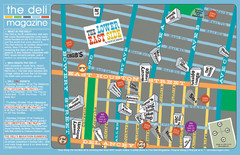
Deli Magazine's Lower East Side Music venues...
3 miles away
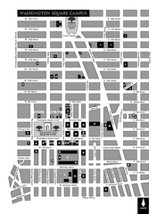
New York University Map
Campus map of New York University. All buildings included.
4 miles away
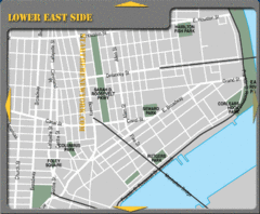
Lower Eastside New York City Hotel Map
4 miles away
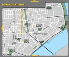
Lower Eastside New York City Tourist Map
4 miles away
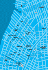
Williamsburg Art Gallery map
Map of Williamsburg and Greenpoint art galleries in Brooklyn, New York. Shows subway stops as well.
4 miles away

